I decided to plan a trip to explore some new routes in the Sierras between Highway 80 and Highway 49. I broke out Gaia GPS and started reviewing forest service maps and picking waypoints. I was trying to plan as best I could for impeding snow based on elevations, slope directions and topographical features that would harbor a late snow melt. I finalized the route, and set the dates.
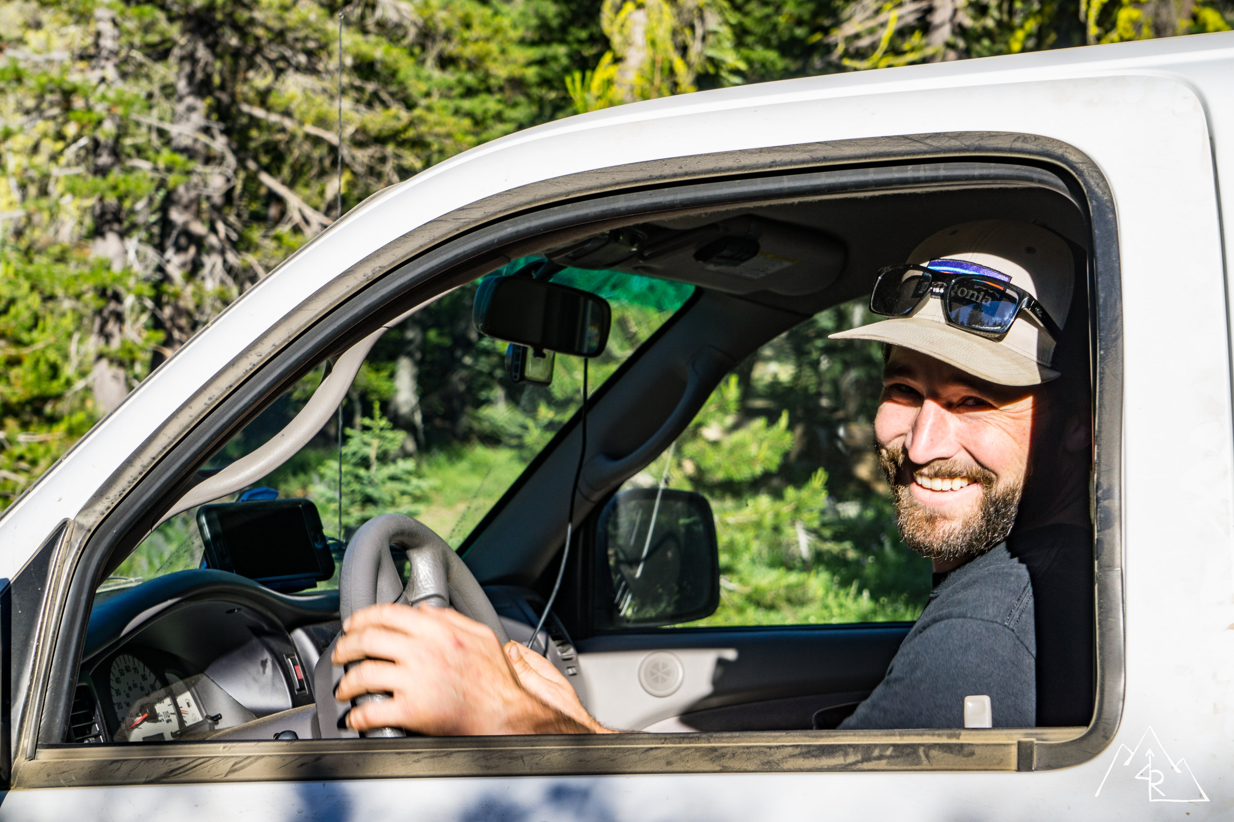
Trip Participants:
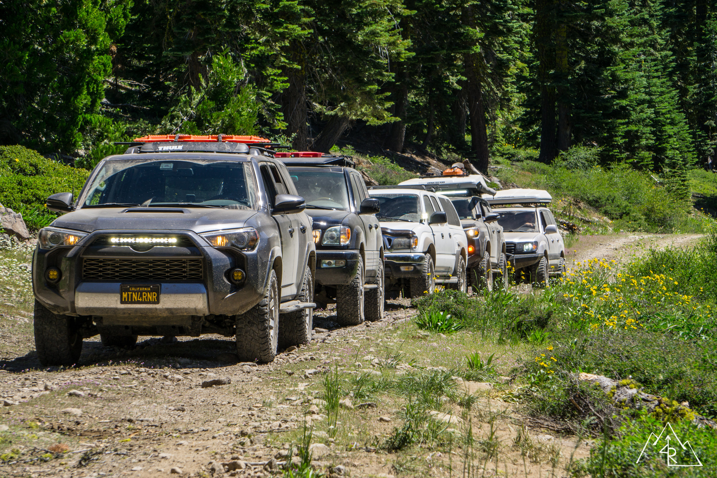
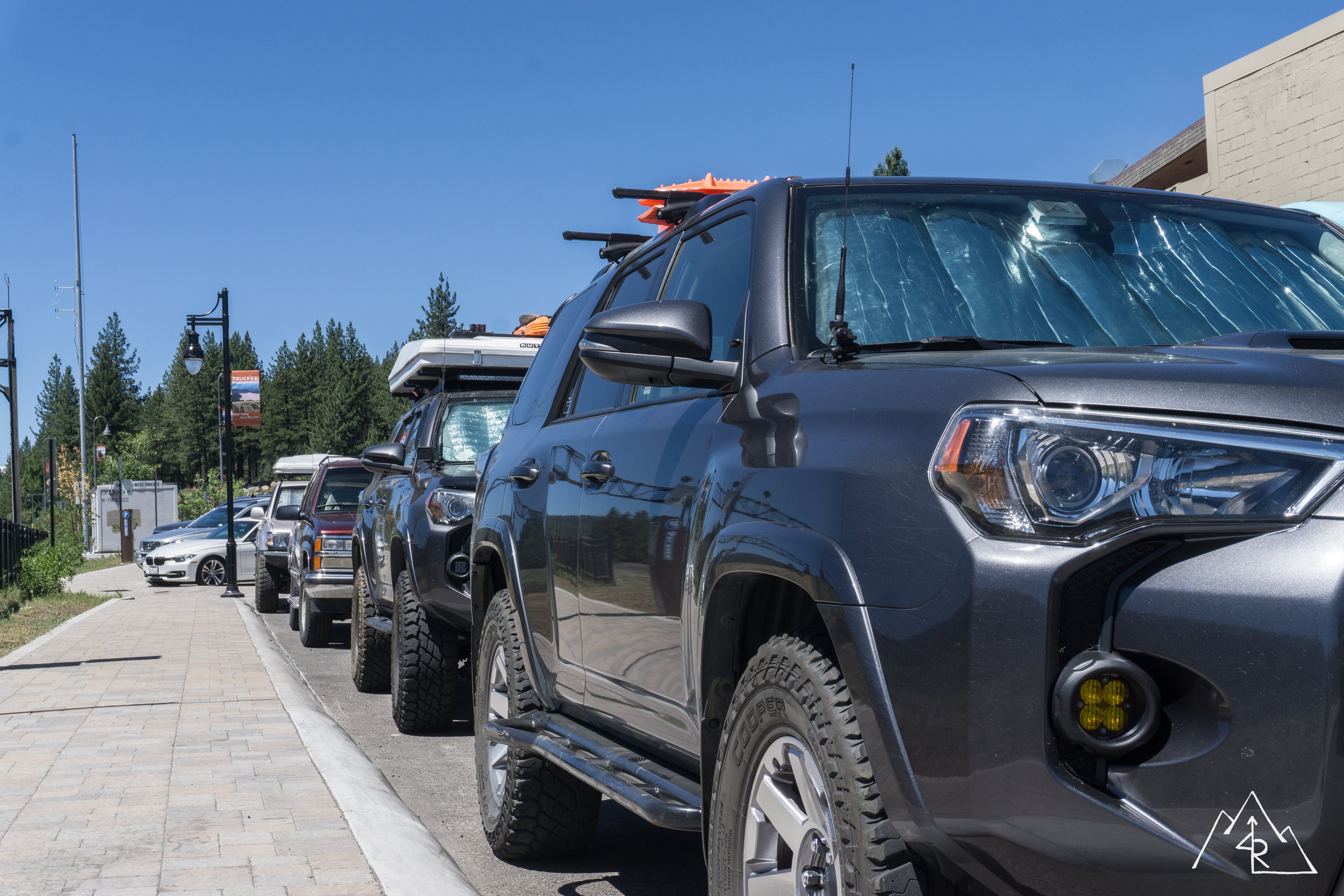
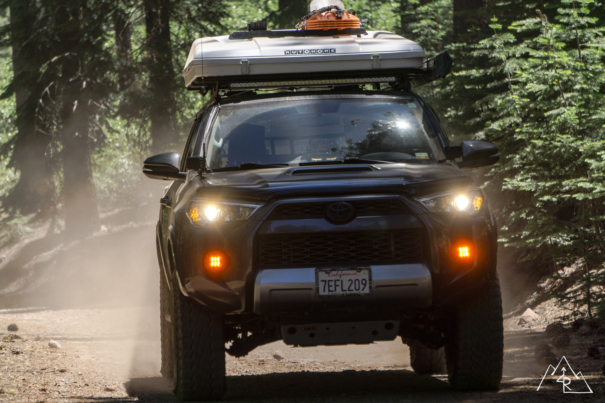
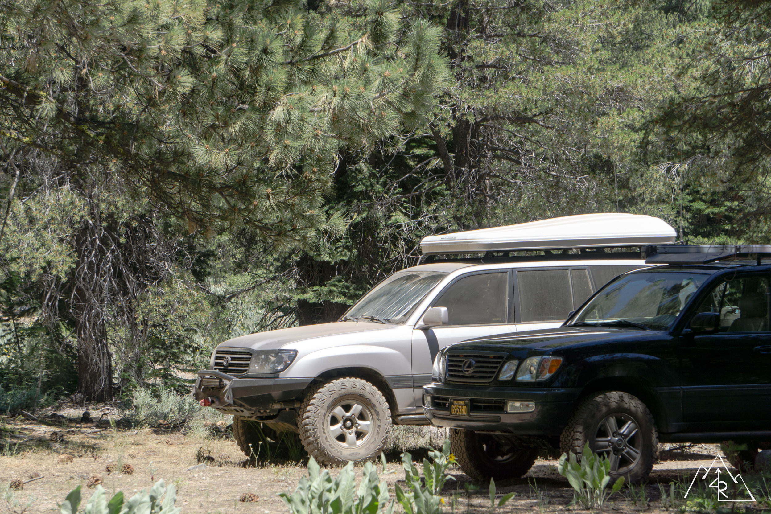
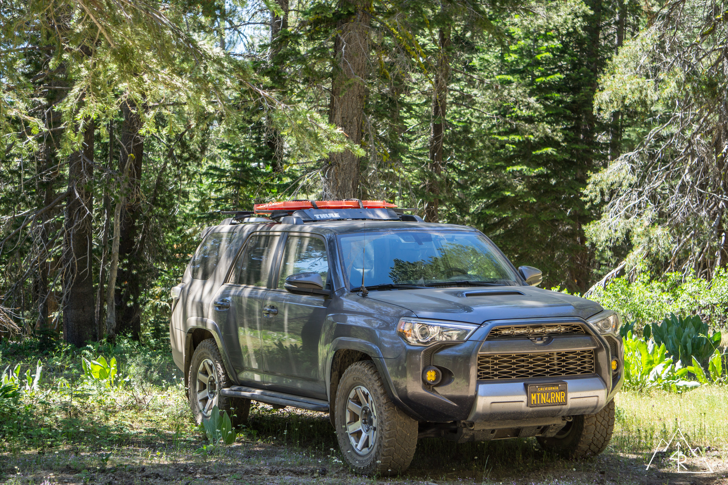
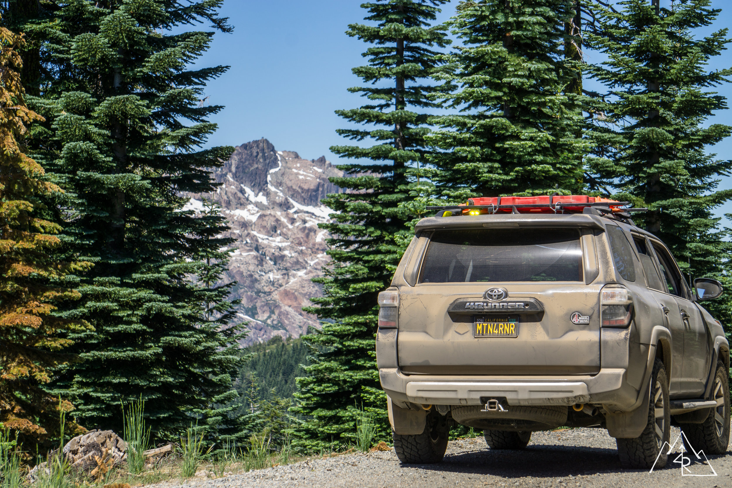
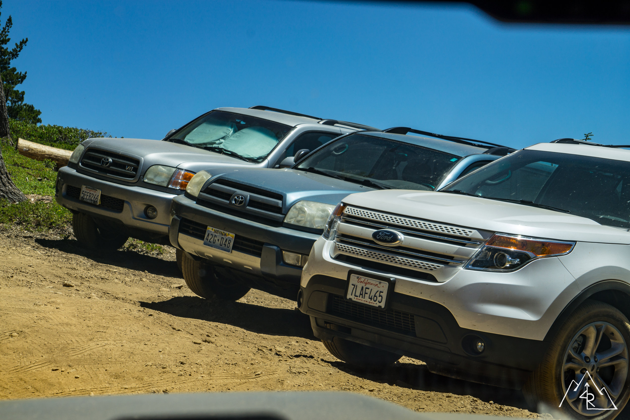
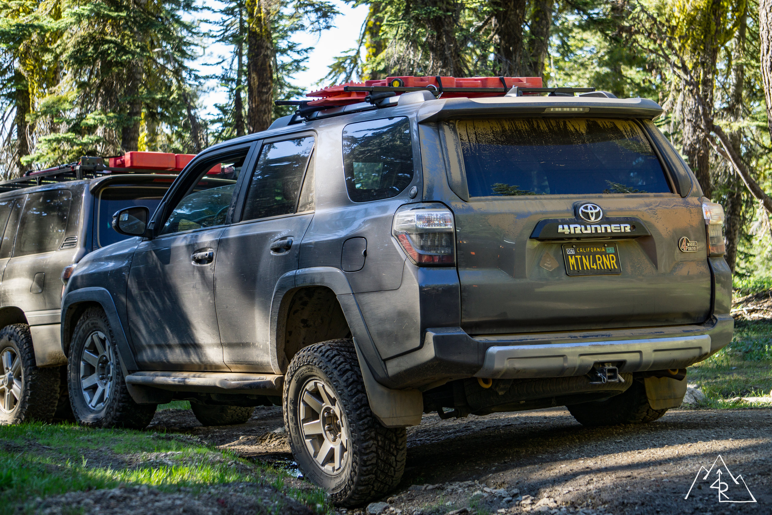
Max --- Grey 4Runner Trail
Reed --- Grey 4Runner Trail
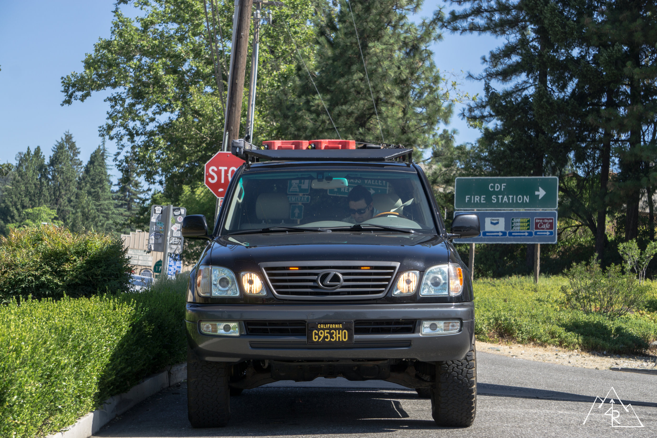
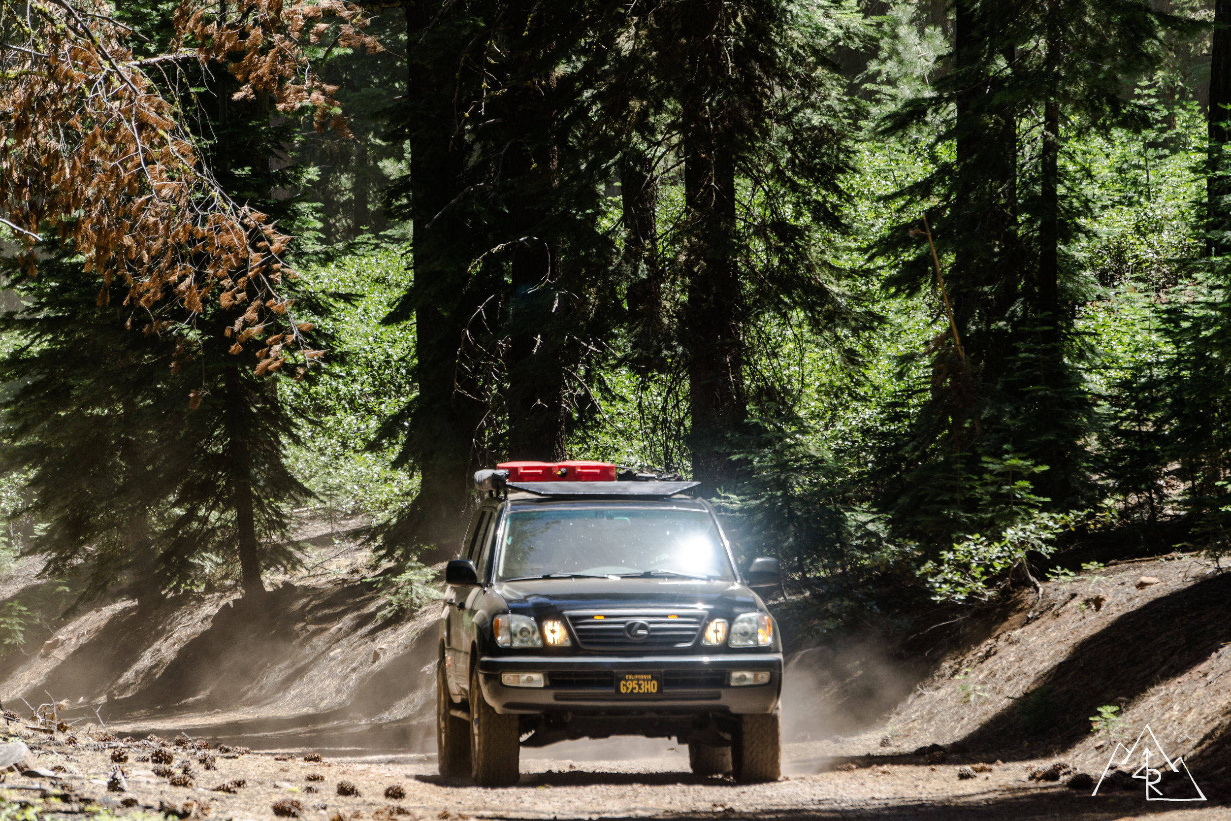
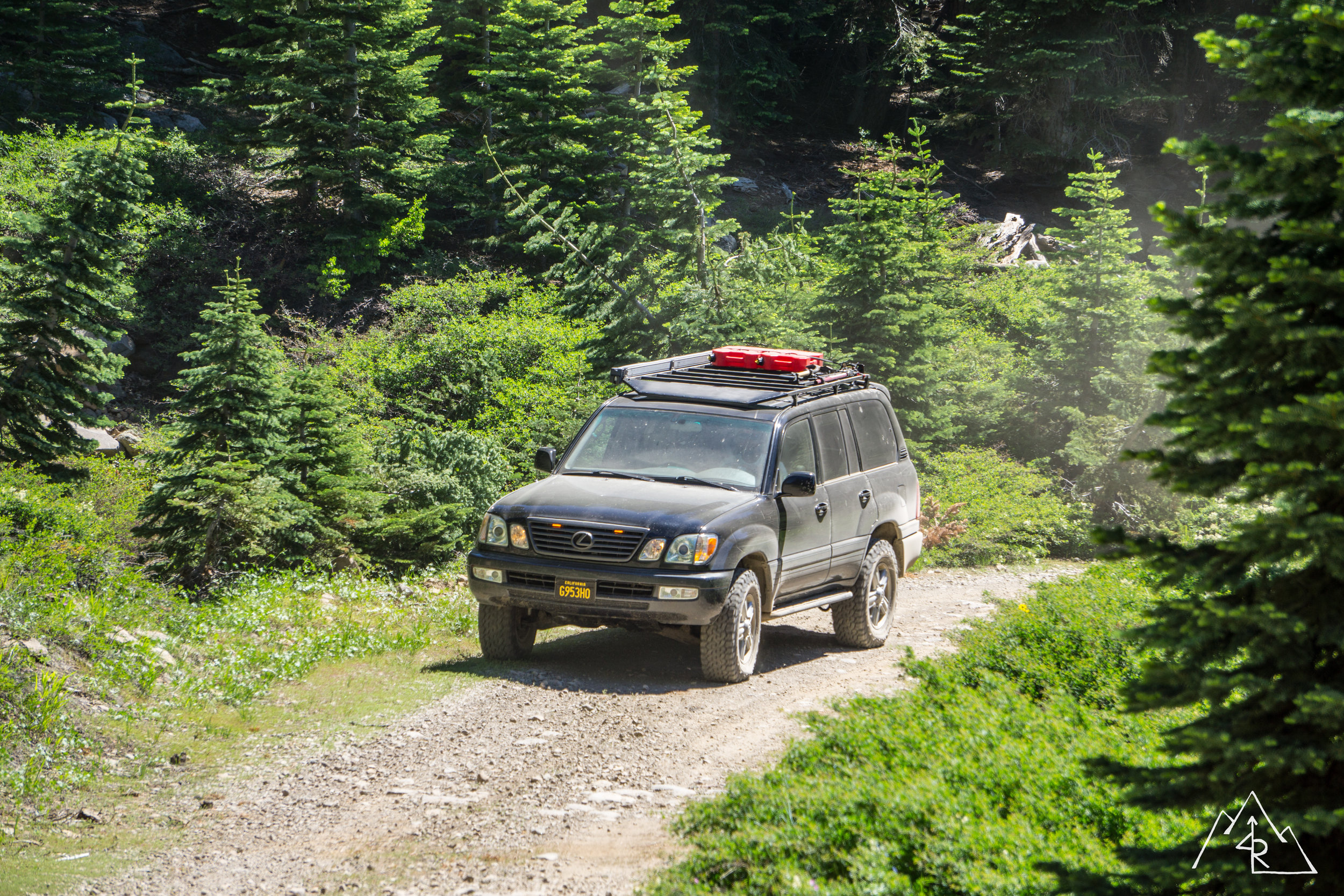
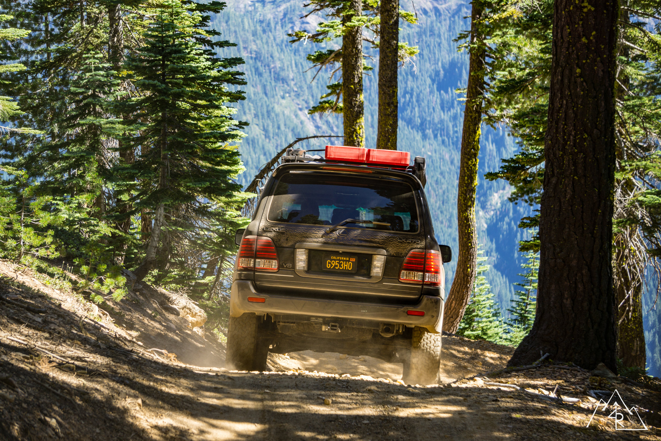
Vincent --- Black Lexus 100
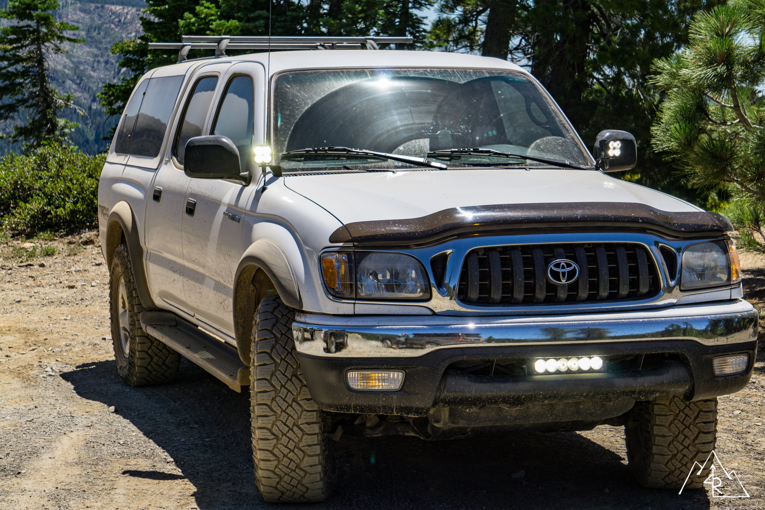
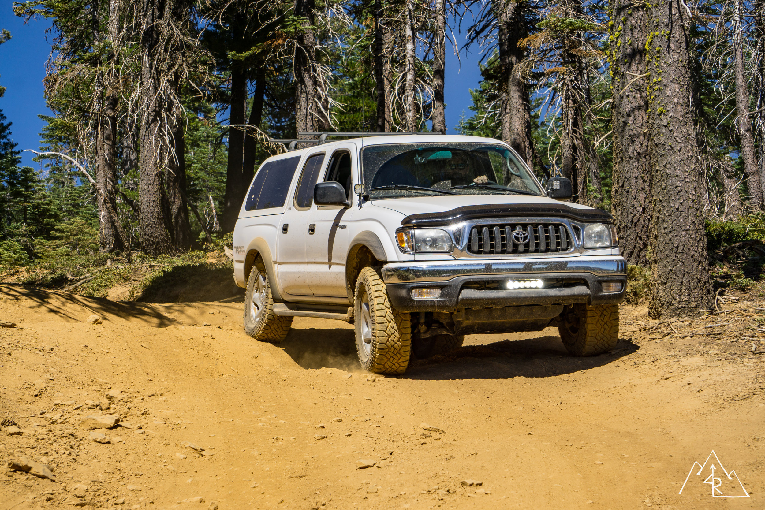
Austin --- White Toyota Tacoma
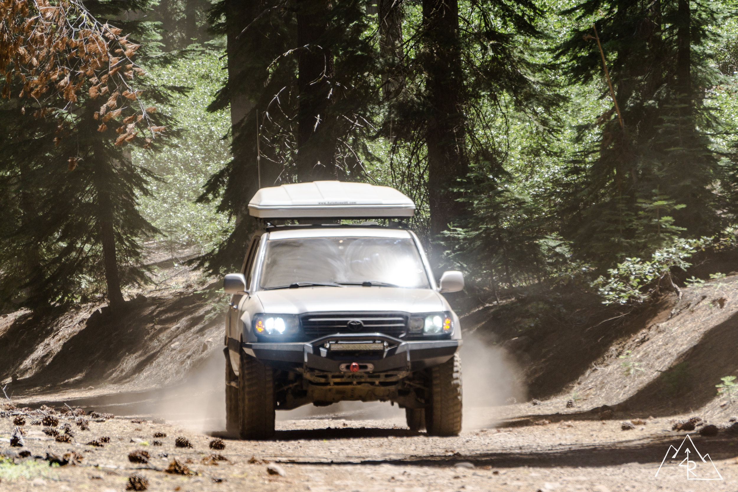
Rob --- Silver Land Cruiser 100
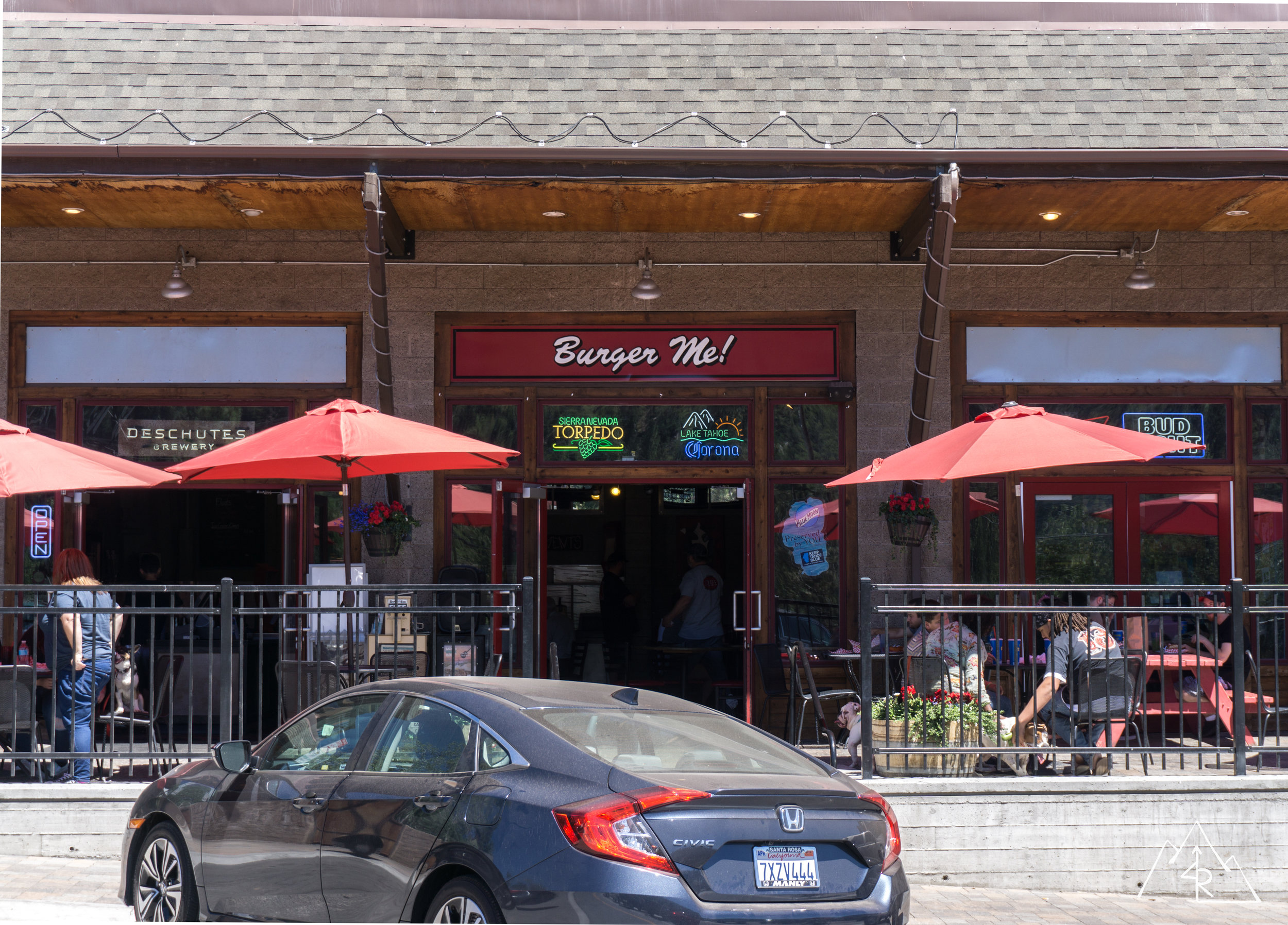
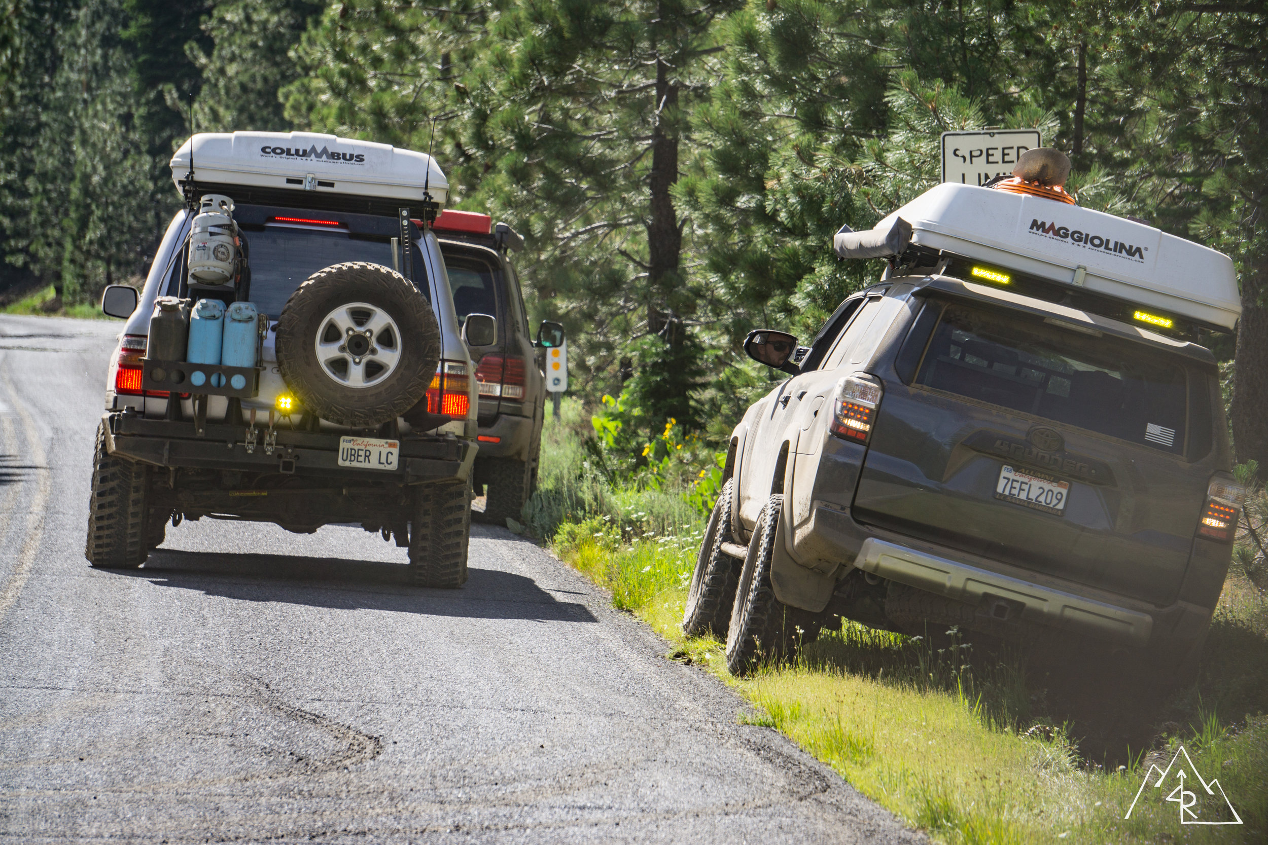
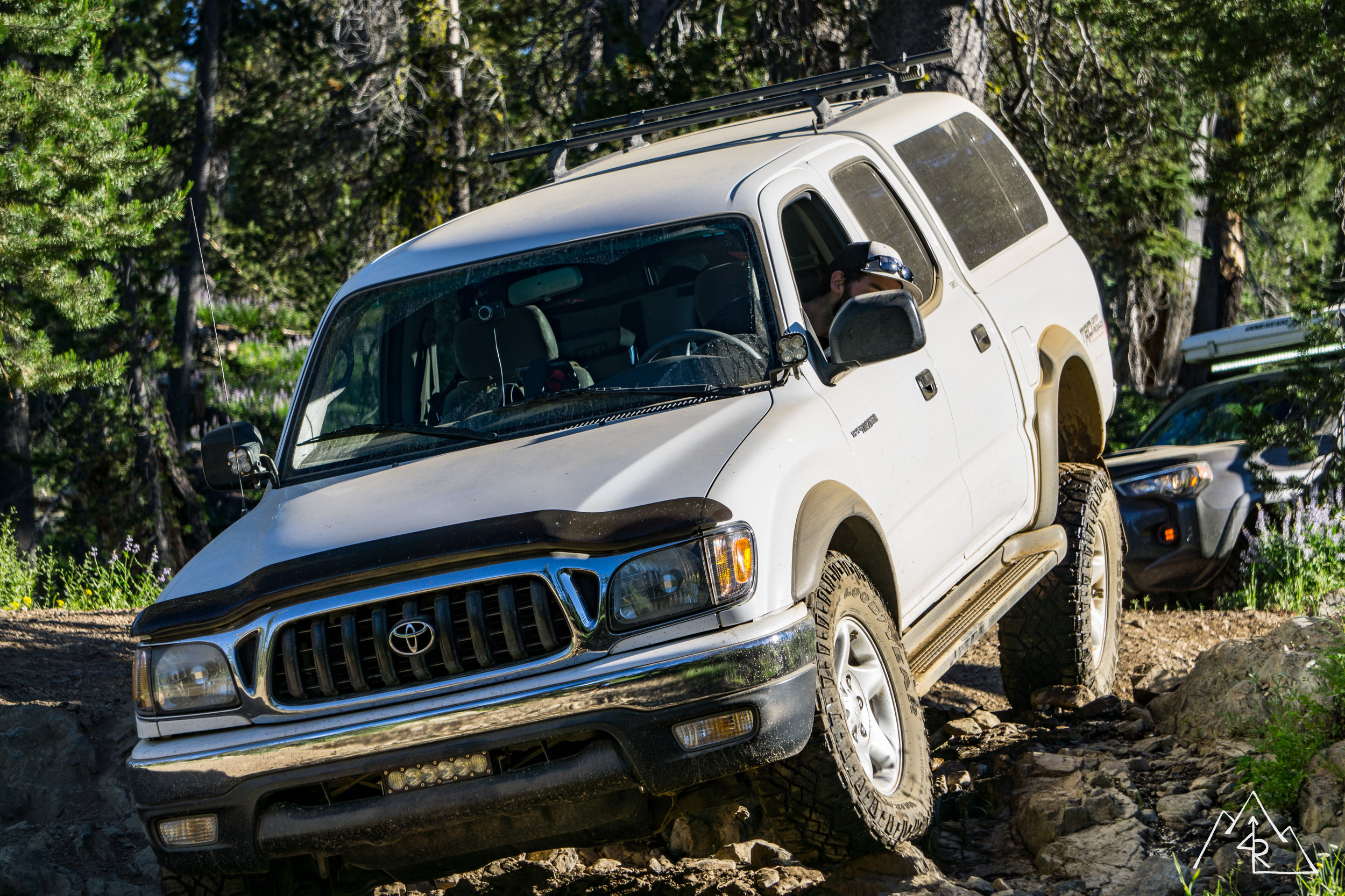
We left the Bay Area early on Saturday morning. Radio chatter was light but constant as we all caught up with what had been going on in our lives since the last trip. We made good time getting to the foothills of the sierras where we fueled up in Colfax before heading uphill to Truckee where we would meet Rob who had gone up the day before. As we came over Donner Summit WE4RED (Rob) chimed in on our frequency letting us know that he was in town and hanging out at the meet point. We gathered in Truckee at a burger joint for some self refueling before heading north and hitting dirt.
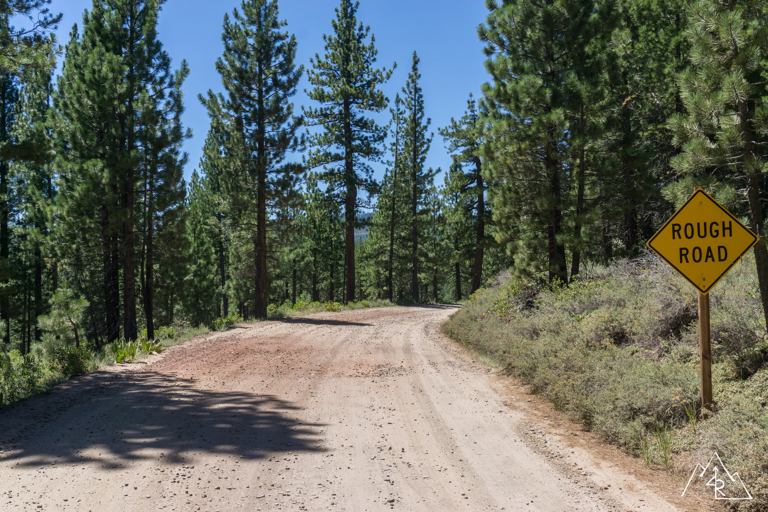
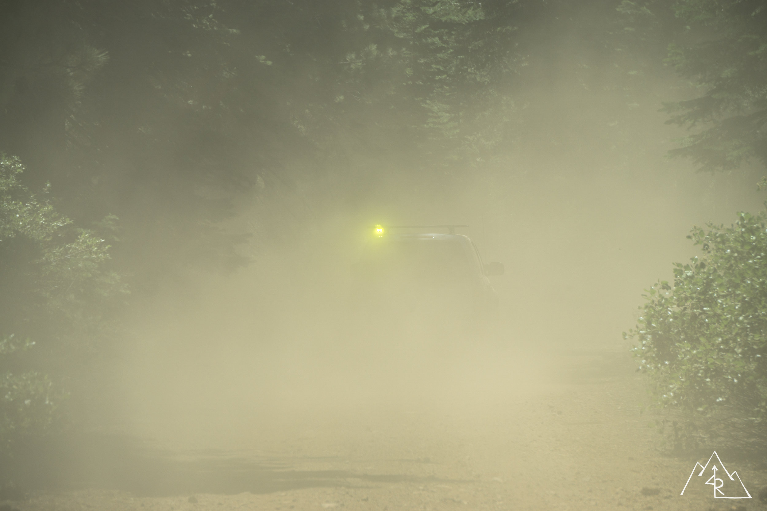
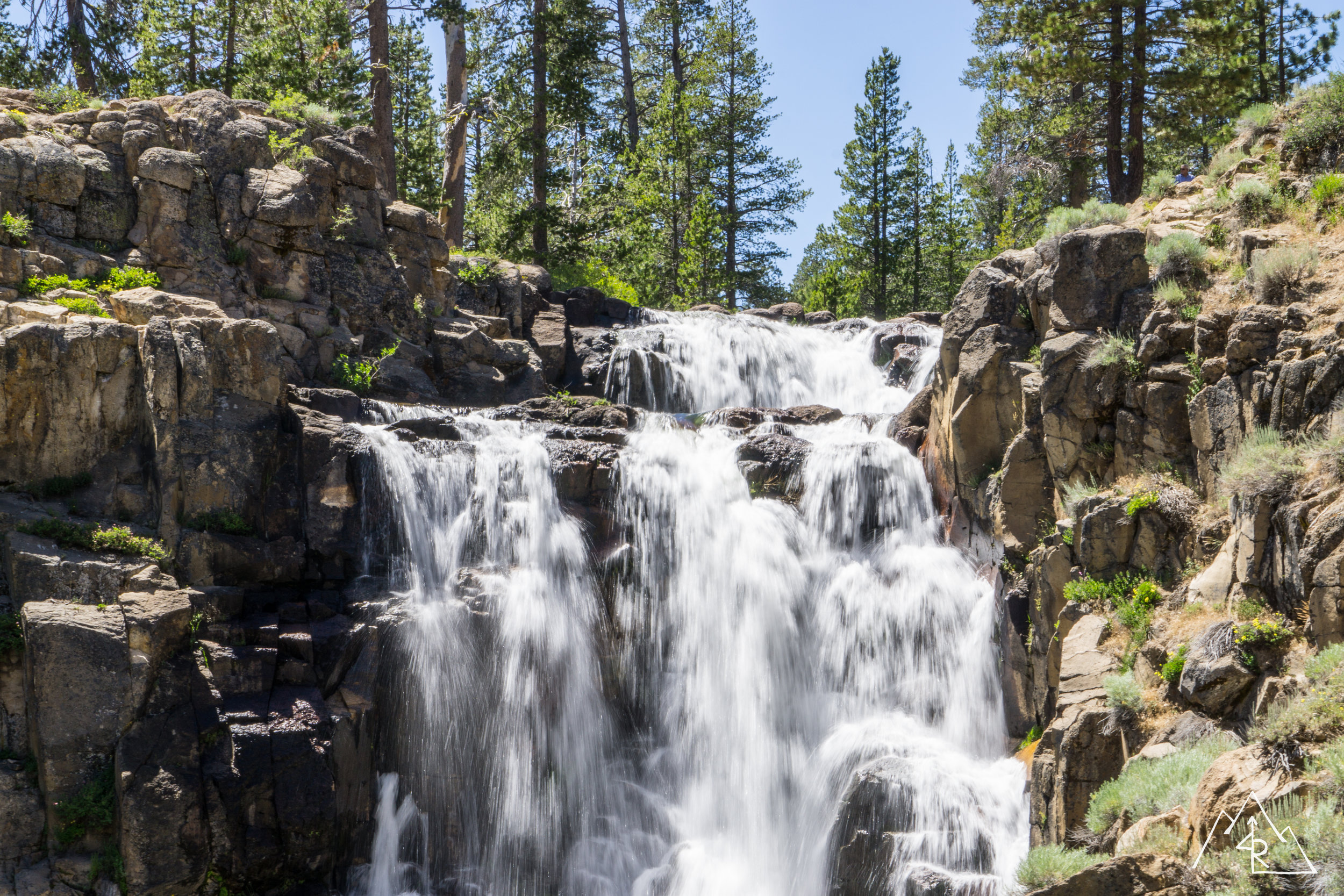
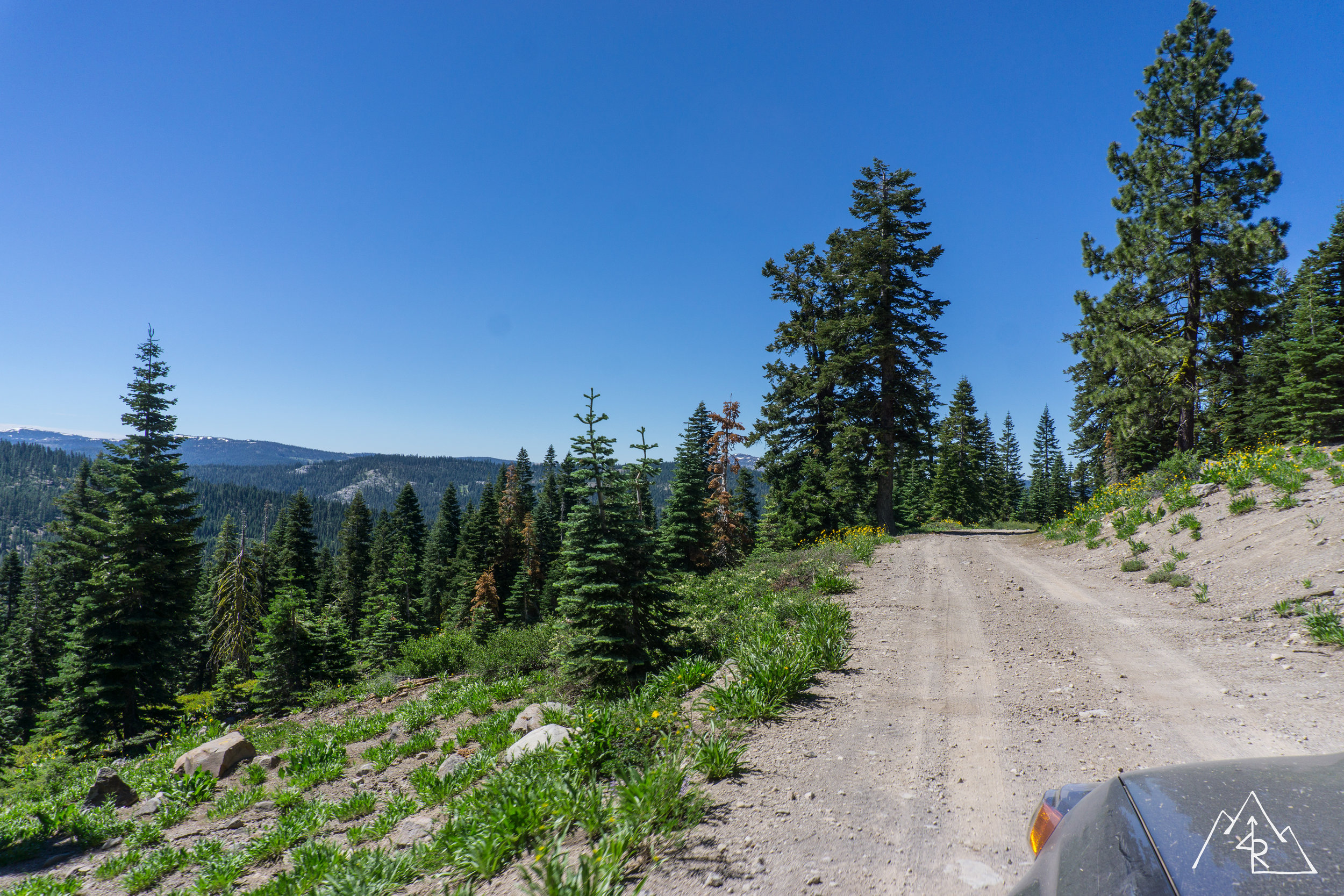
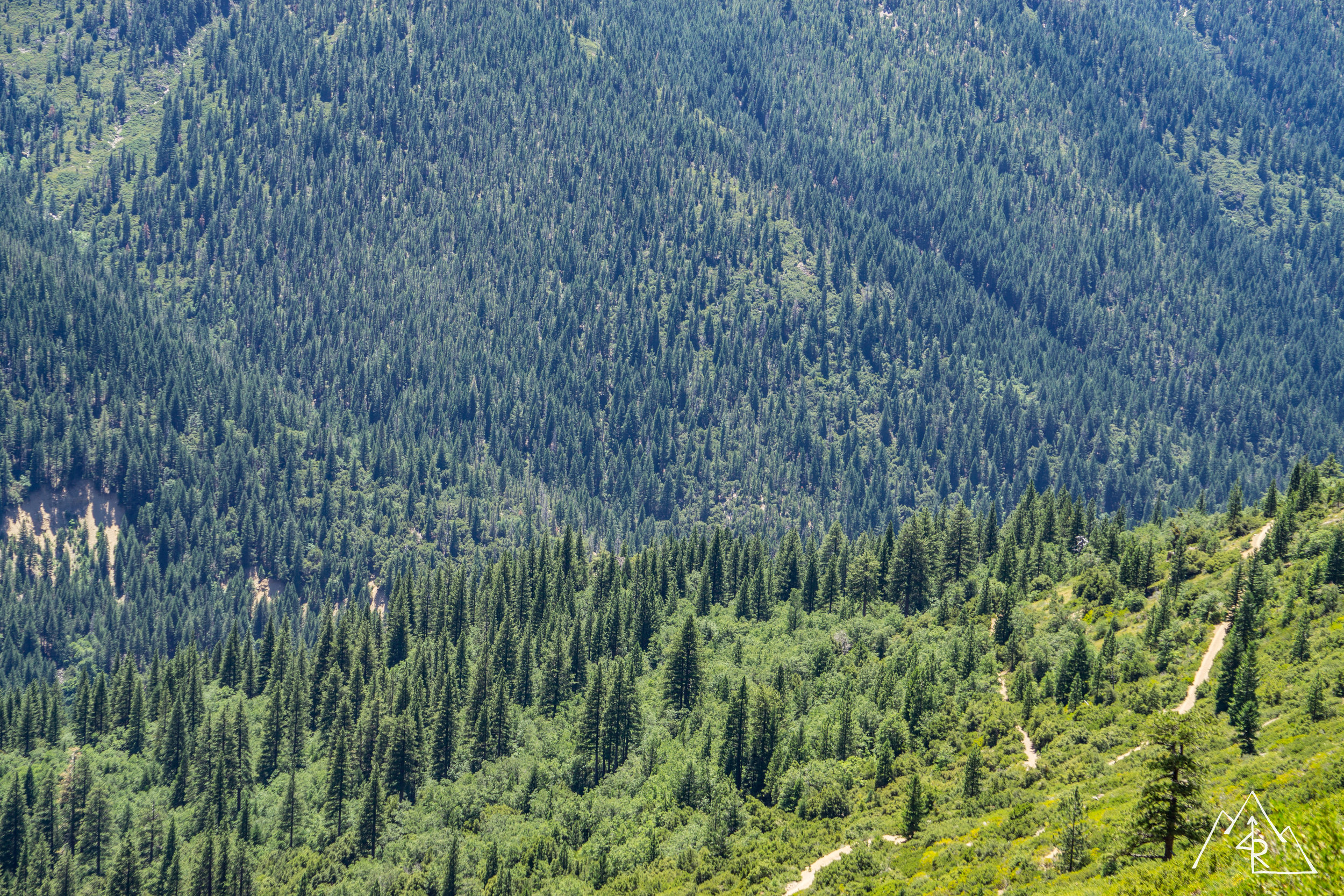
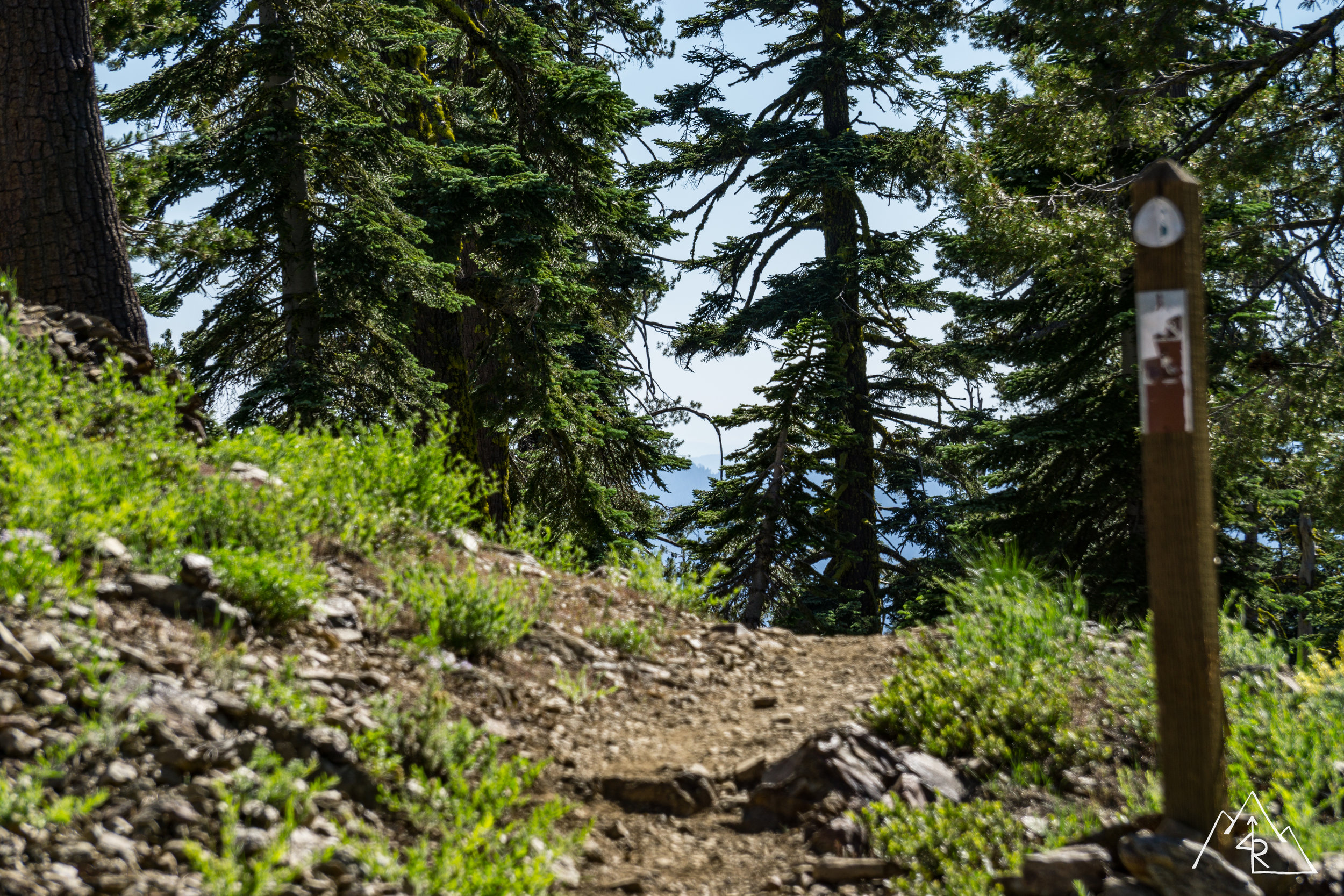
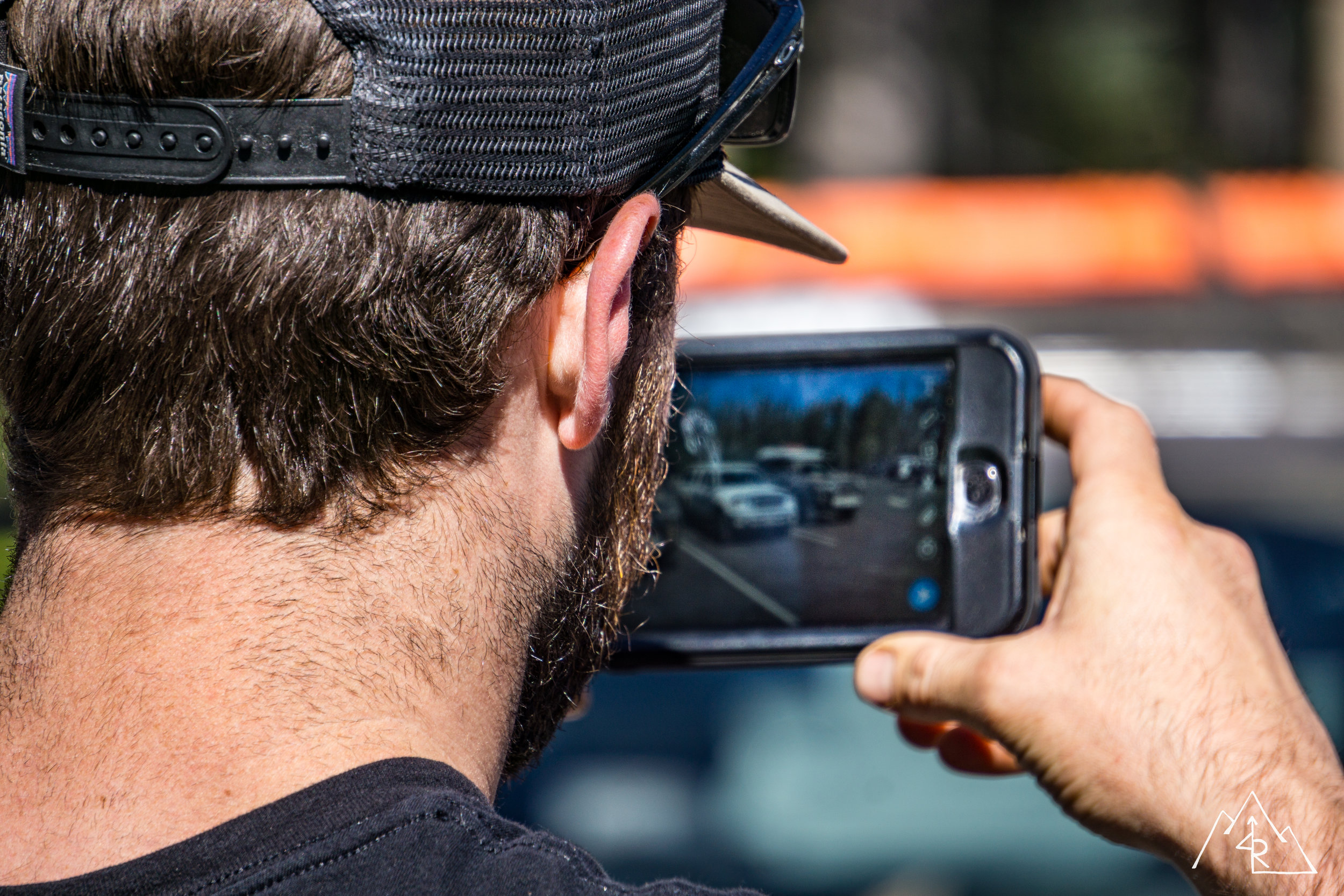
The forest service roads in the Sierras are typically a mix of gravel, dirt and fine dust. This means that one minute you can see the vehicle you are following, and the next it’s gone. It is even worse in the shadows of the trees. Thankfully the majority of the vehicles in our group were running dedicated dust lights, so staying safe was easy. Our first checkpoint was a local set of waterfalls at the upper end of the Little Truckee River watershed. I have had this spot on my checklist for a while, so it was great to experience it in person. There was a small drop, followed by a large pool, and then a larger 50+ foot drop below that. I think that a slow afternoon up stream with a few beers will be in order on a weekend where all I want to hear is water flowing.
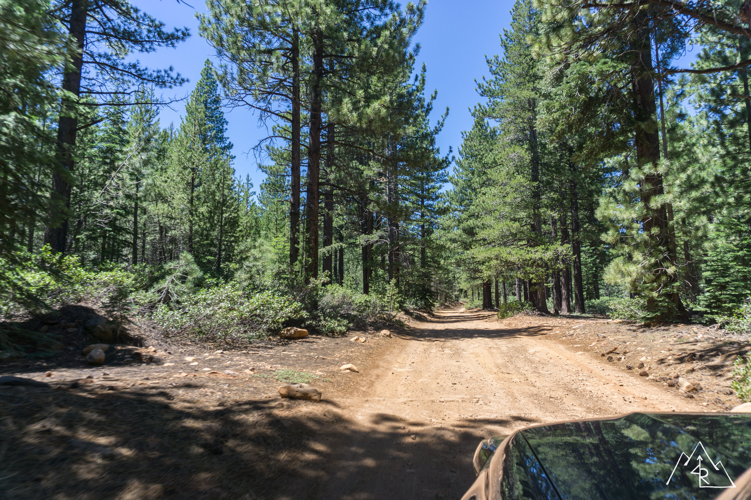
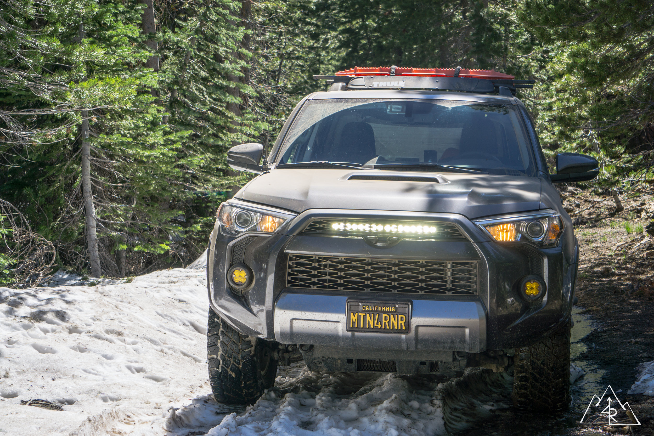
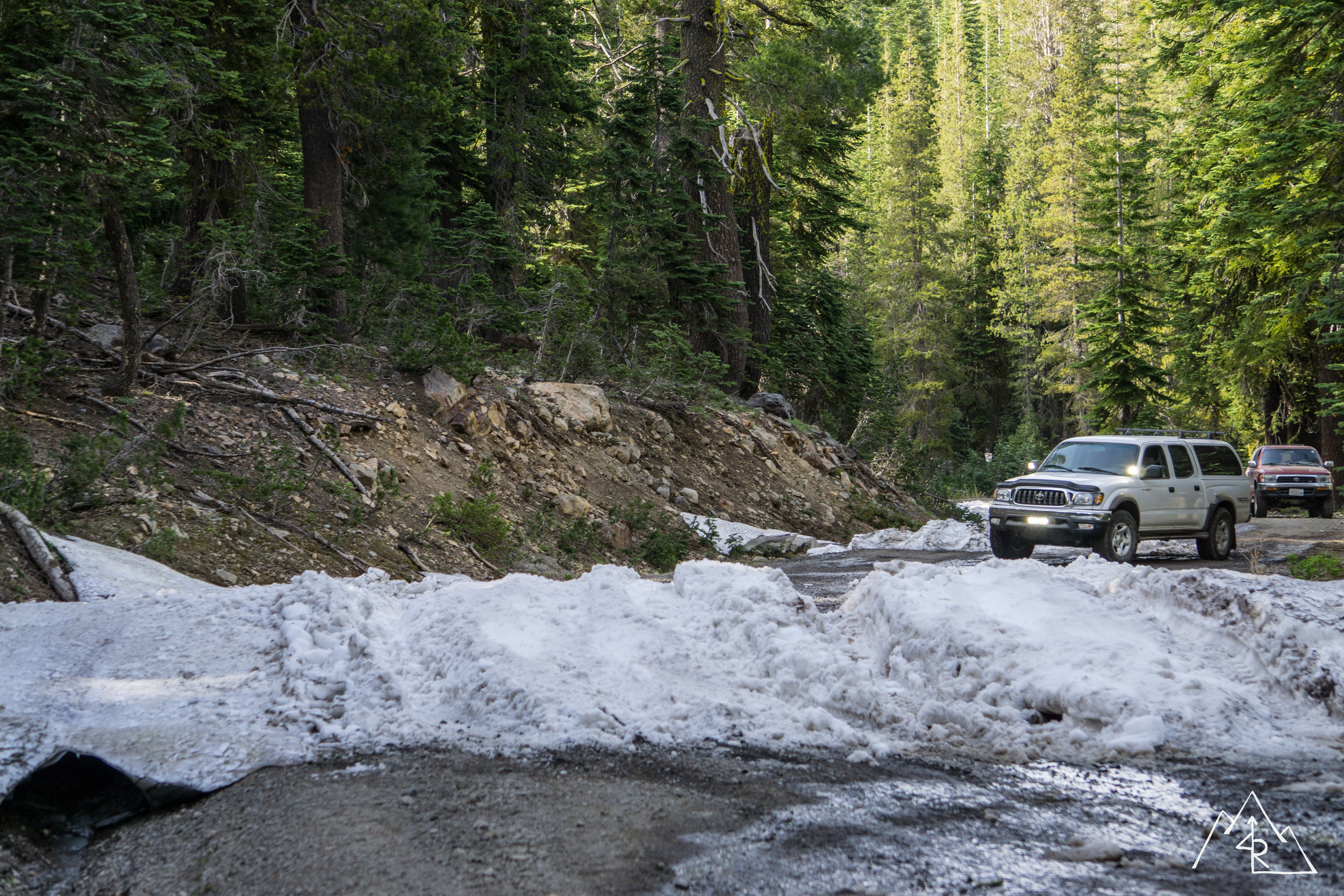
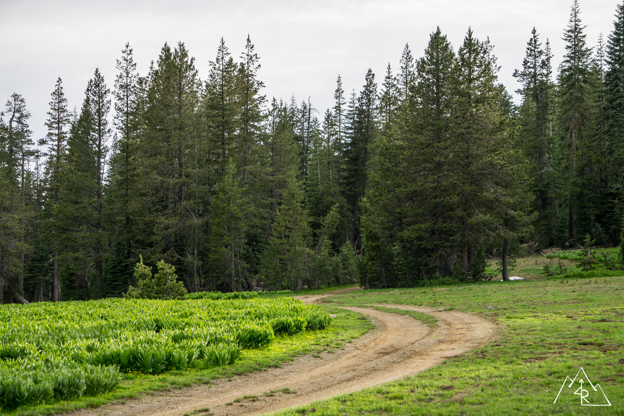
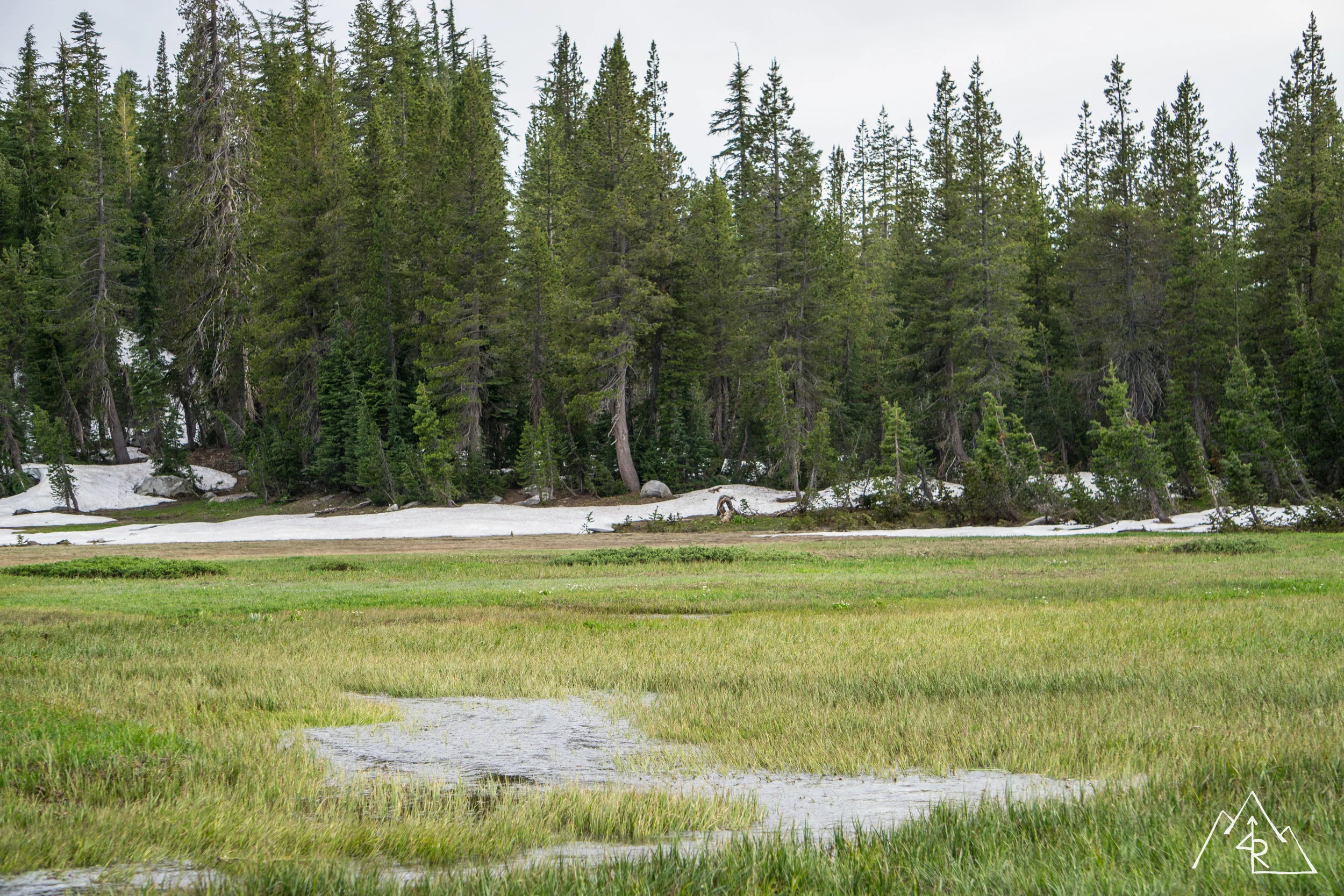
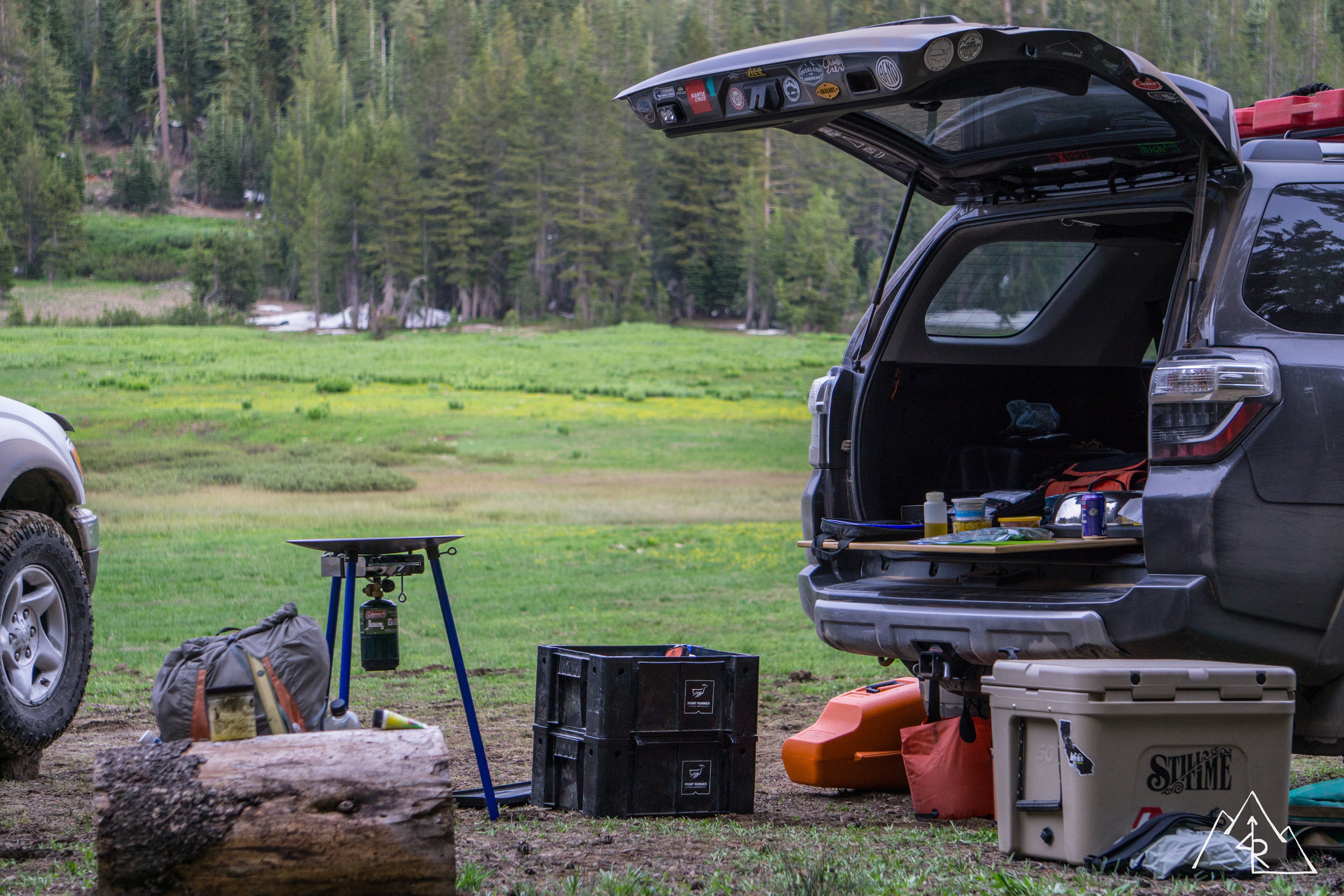
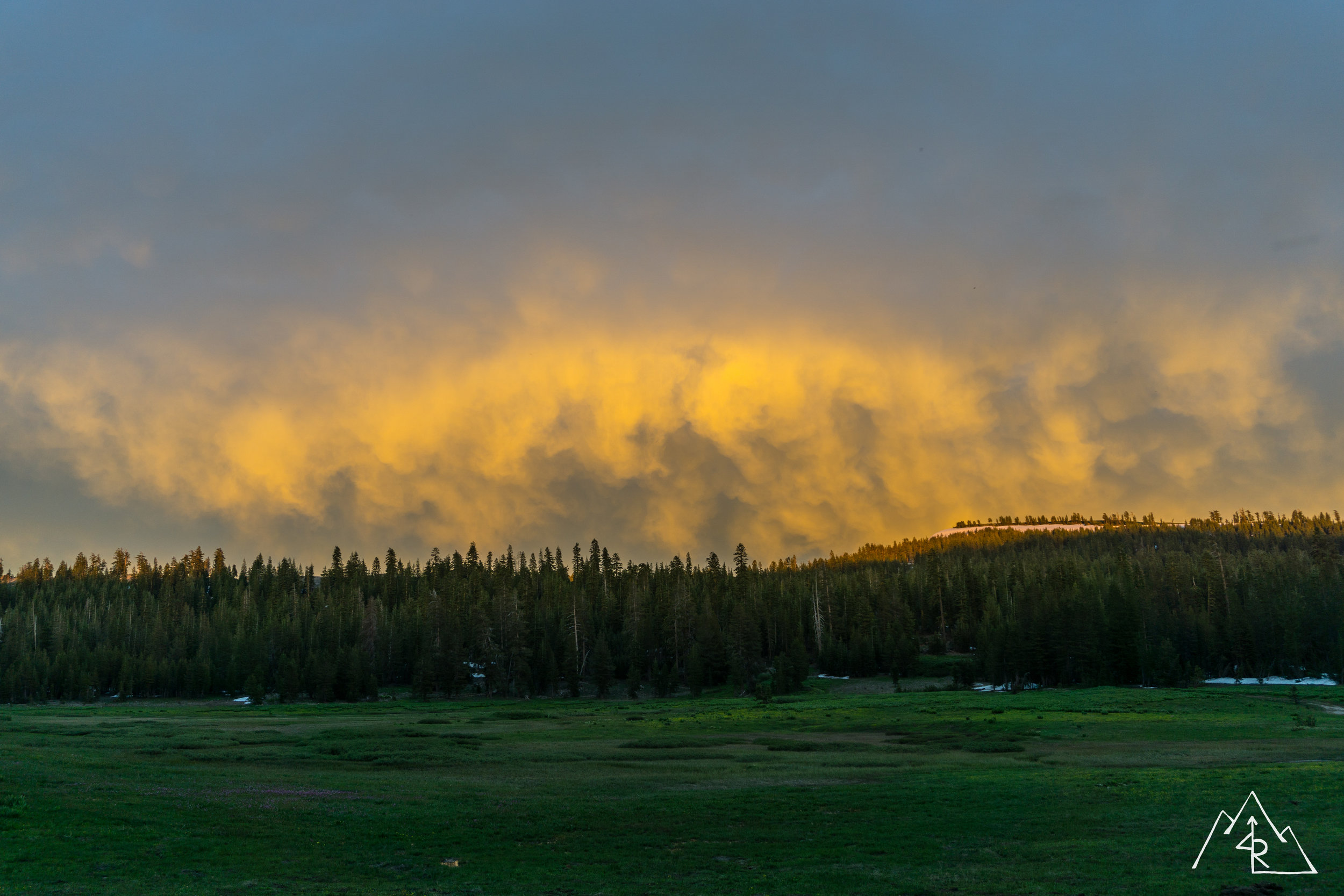
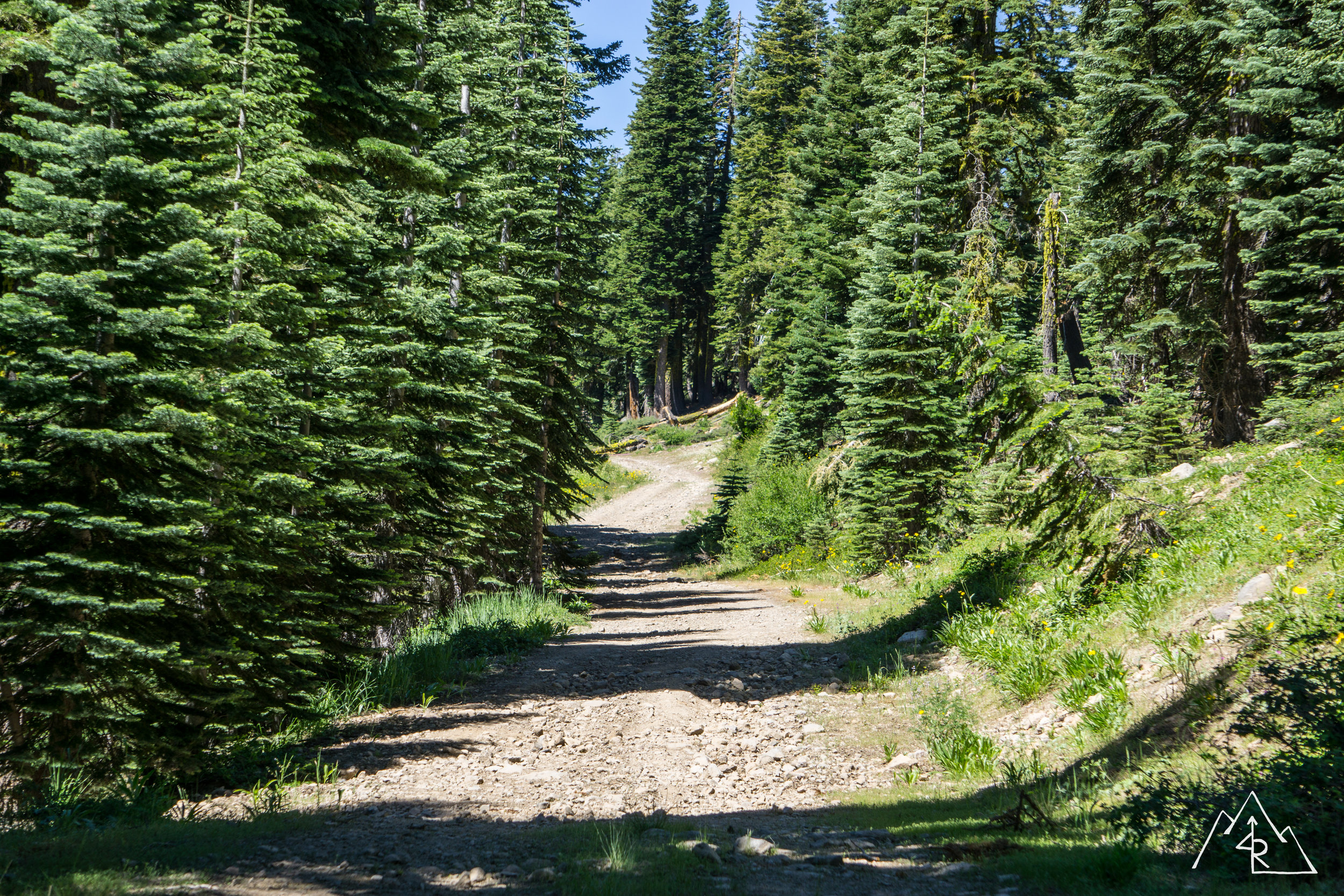
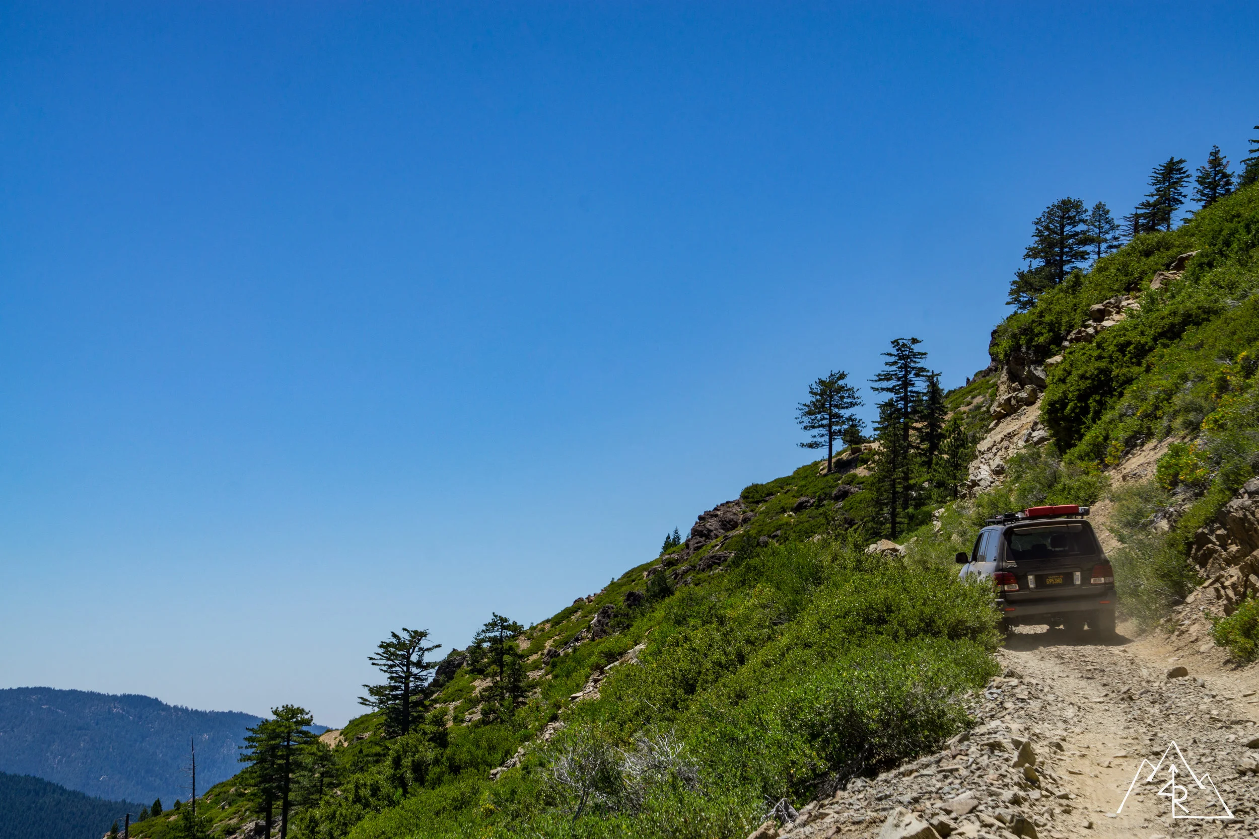
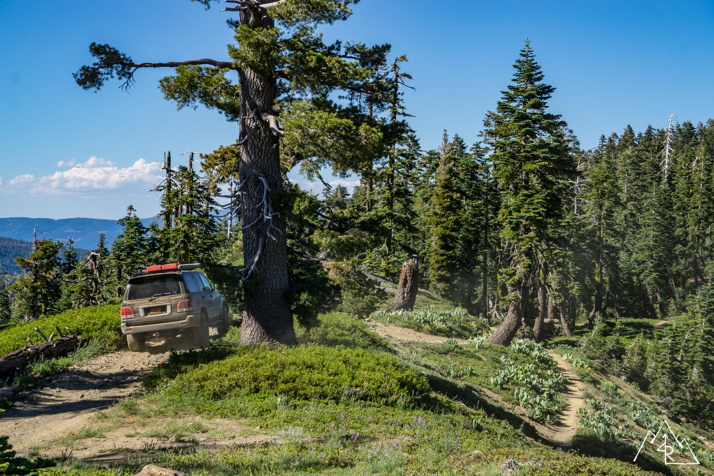
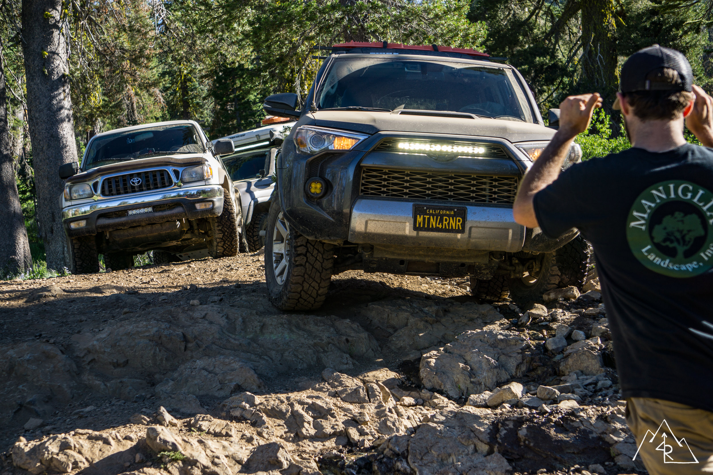
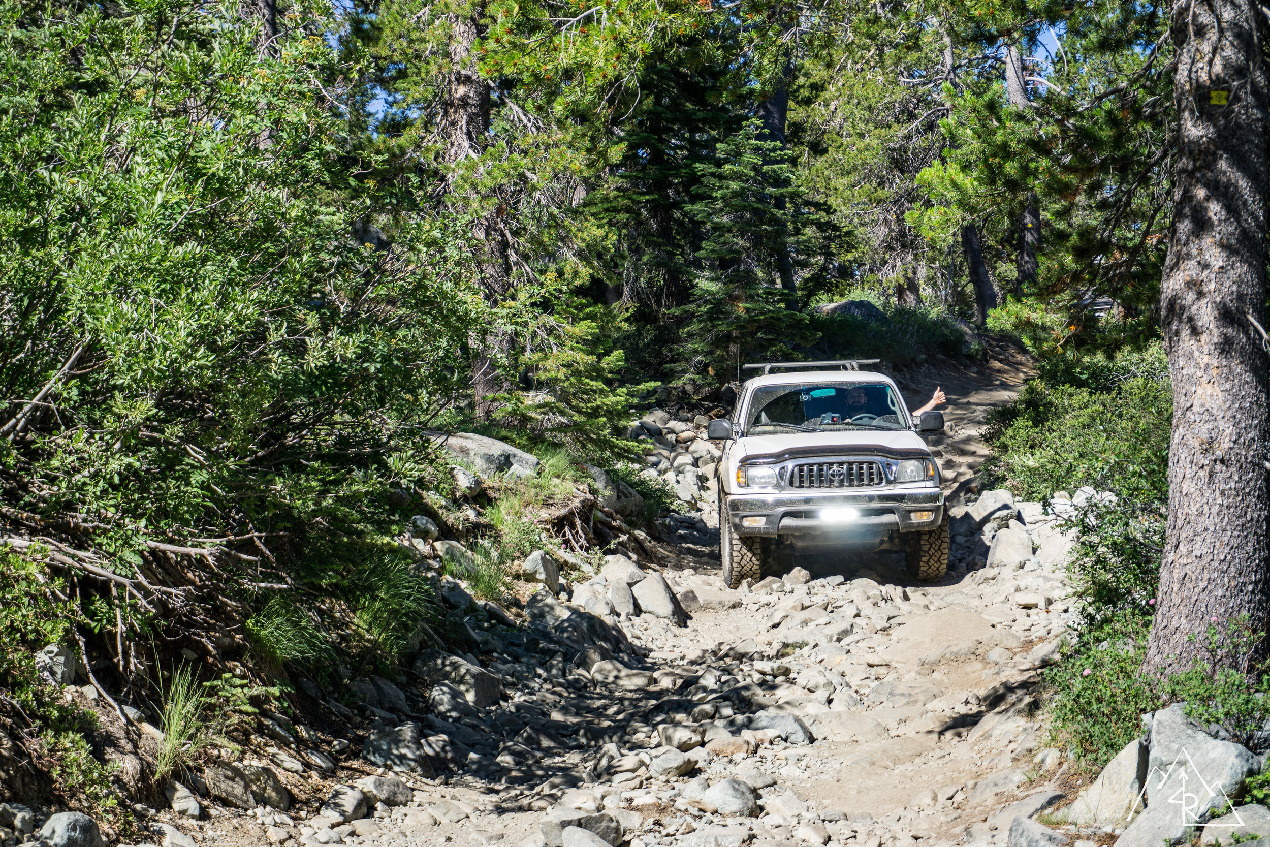
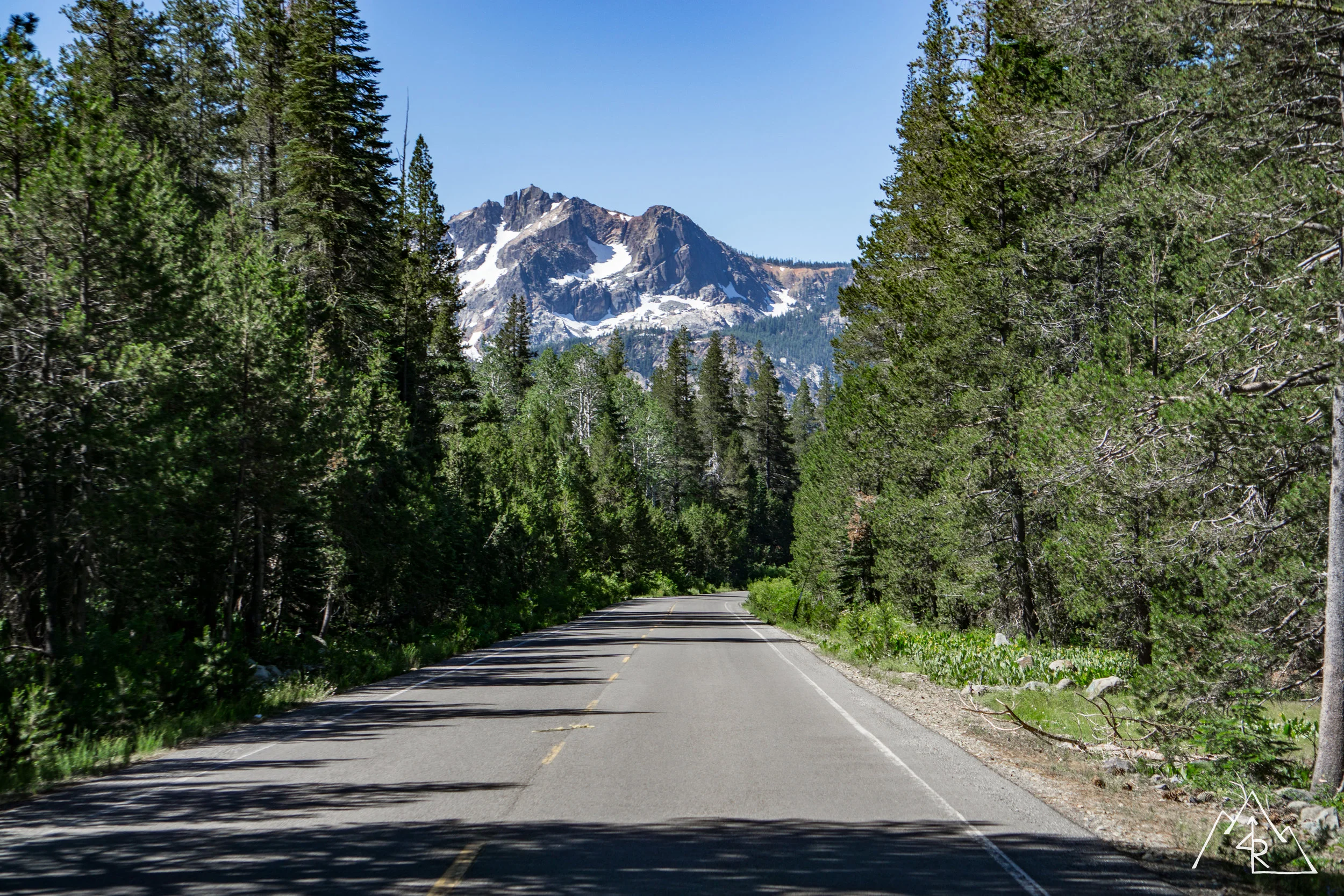
From there our only plans were to make it to our lakeside camp. Not knowing where we might run into snow and need to reroute, I gave ourselves plenty of time to figure things out as the afternoon went along. Best case scenario, we make it to camp with ample beer and lake time. Worst case, we get side-railed by snow / washouts / road blocks, but we still have time to think on our feet and work out a new route. Our first route took us through a narrower 4x4 trail, that would take us to a 8,000 foot maximum elevation on a north facing slope. Other snow reports had shown that anything above 7,500 feet would be a question mark, but finding out for yourself is half of the fun! As we pushed through the forest we made it to 7,400 feet, and came to what we were expecting. Snow. We did a quick recon on foot to see if pushing through was worth the effort. This route would prove impassable. But, in searching for a way though, I came across a great future camp site,
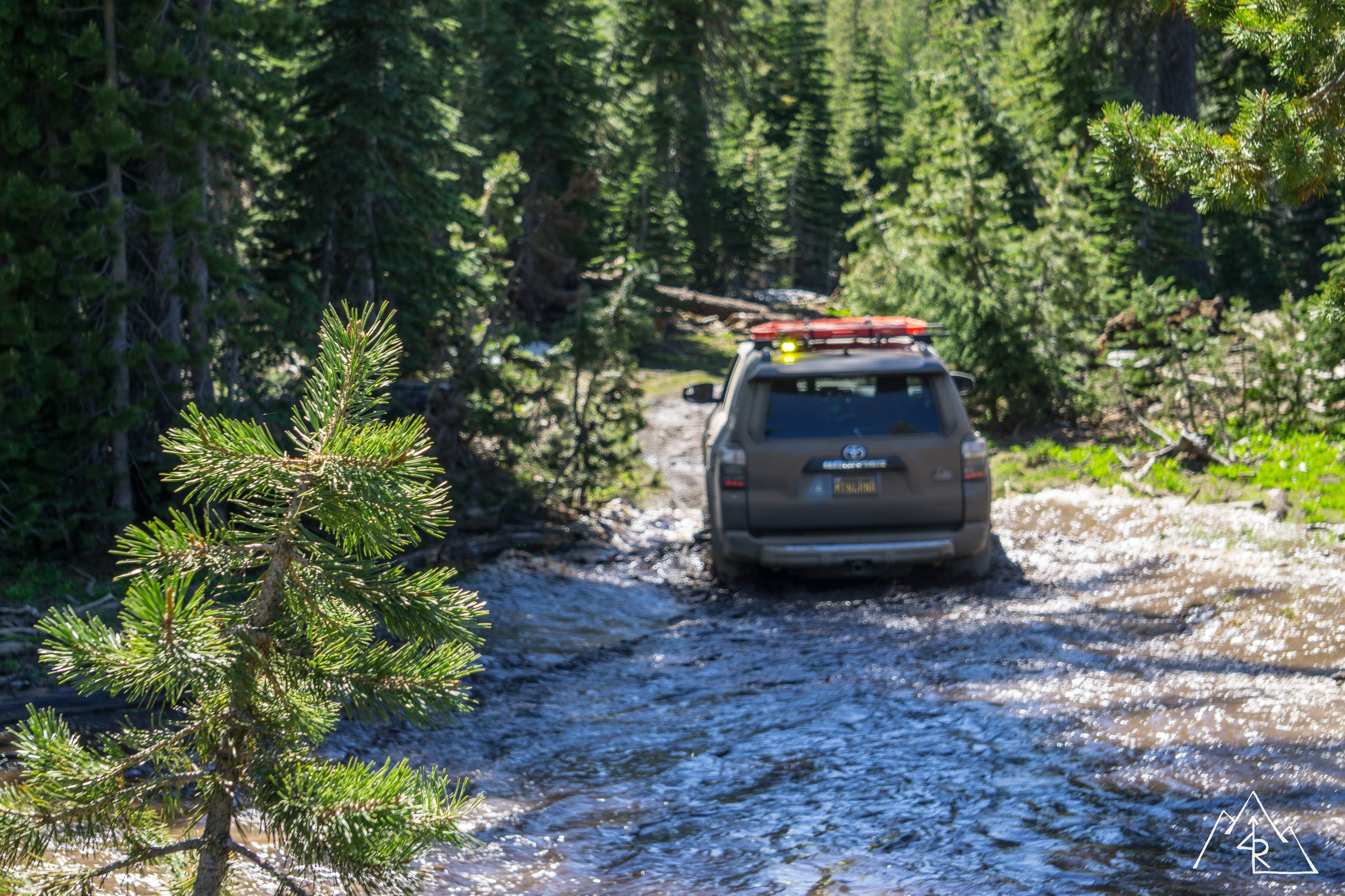
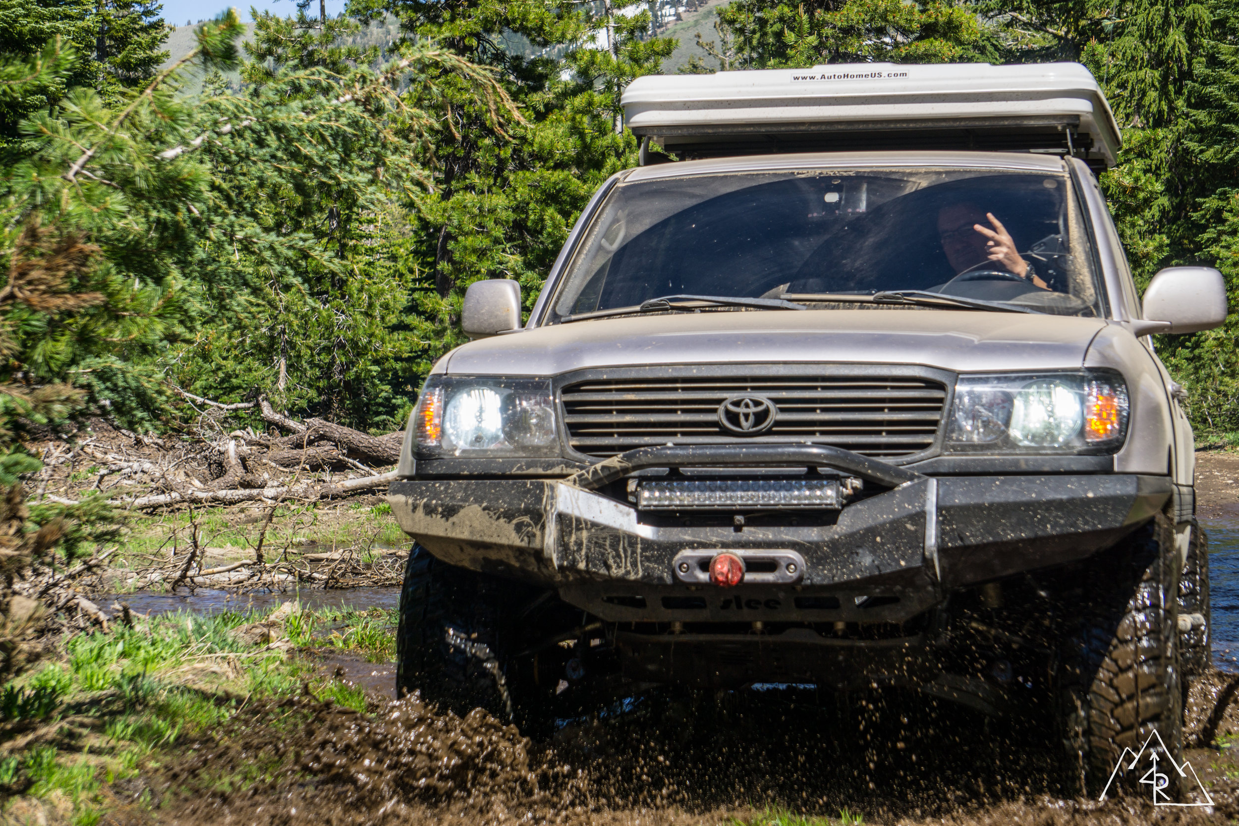
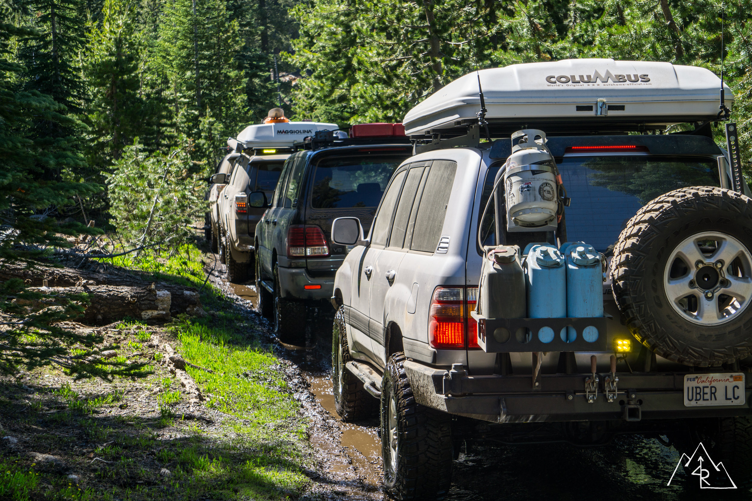
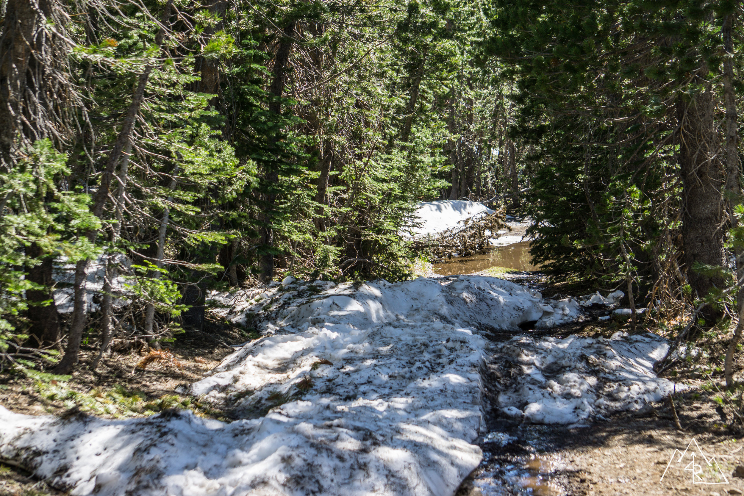
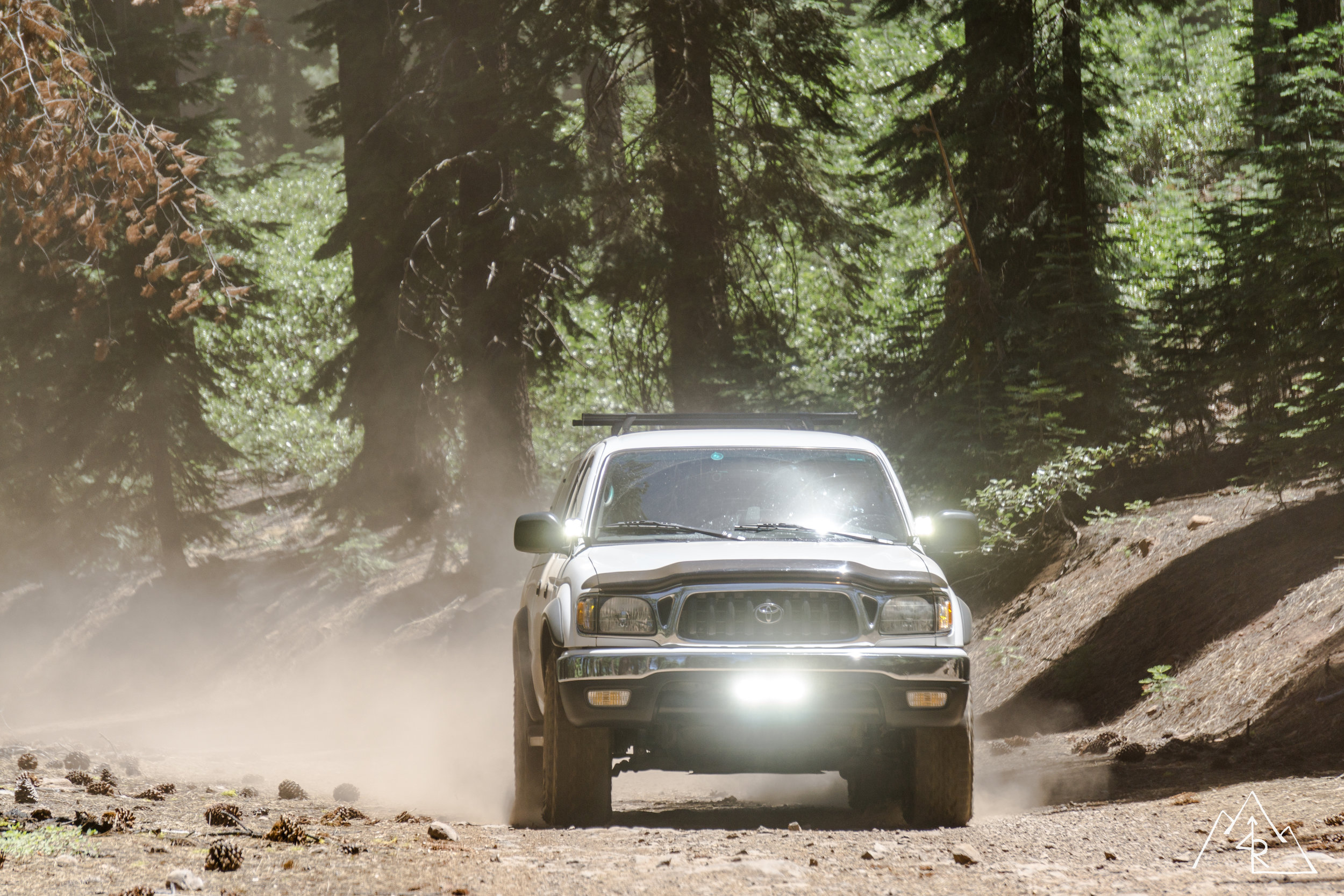
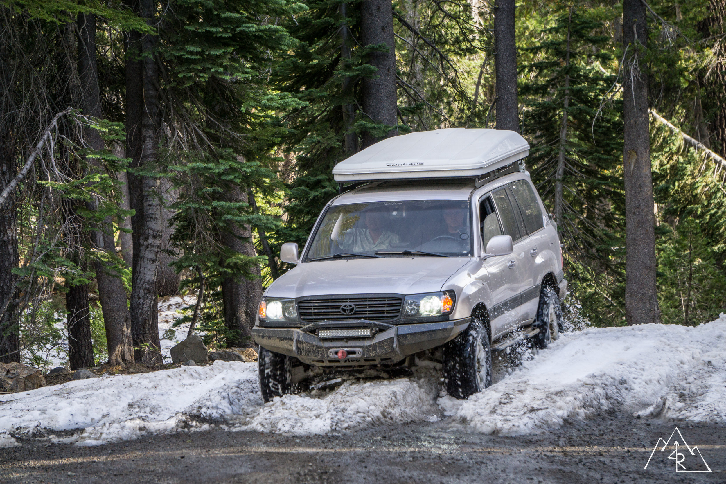
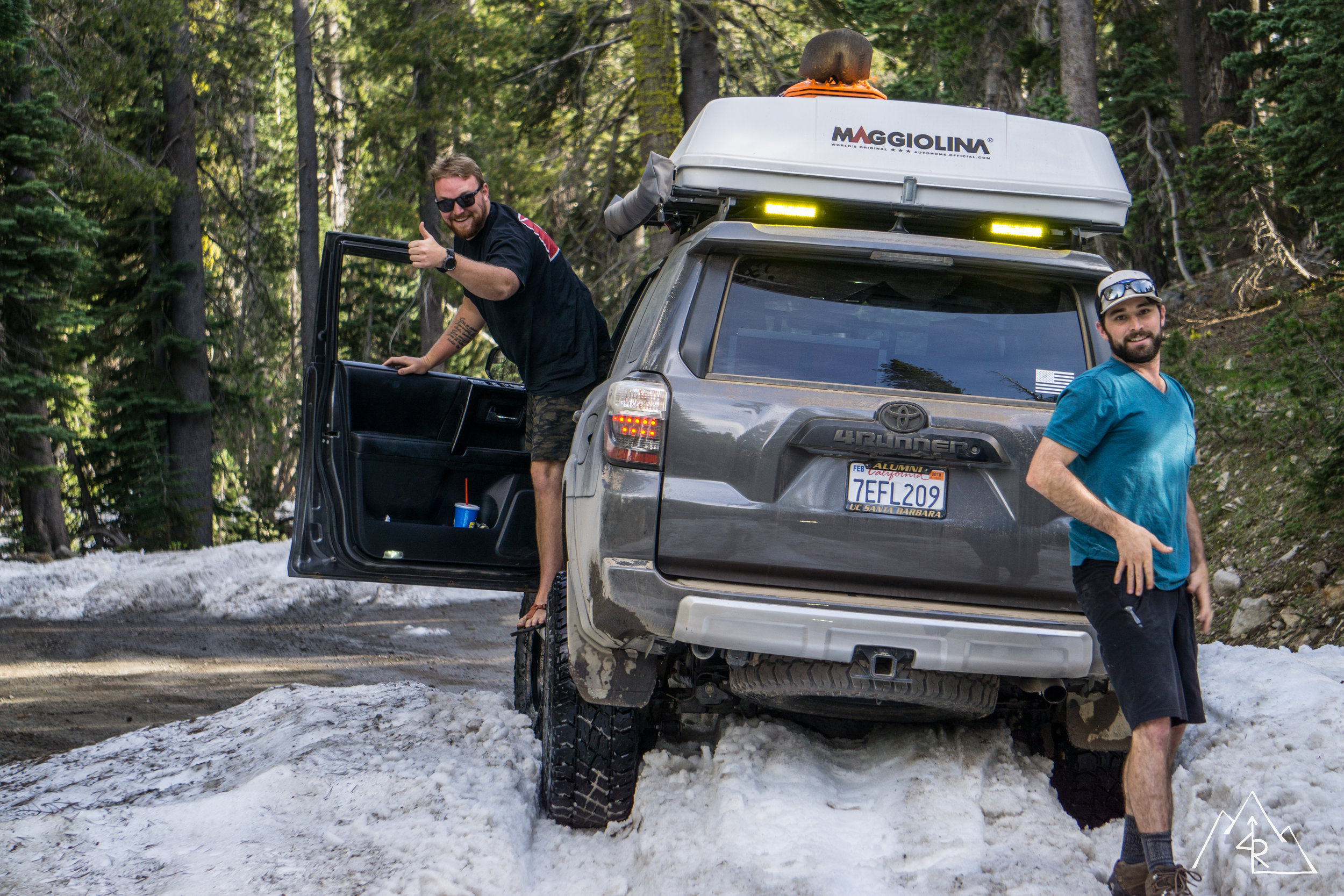
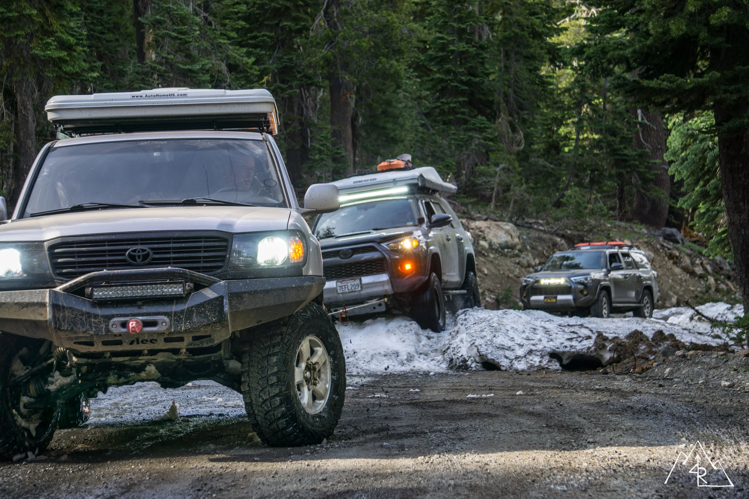
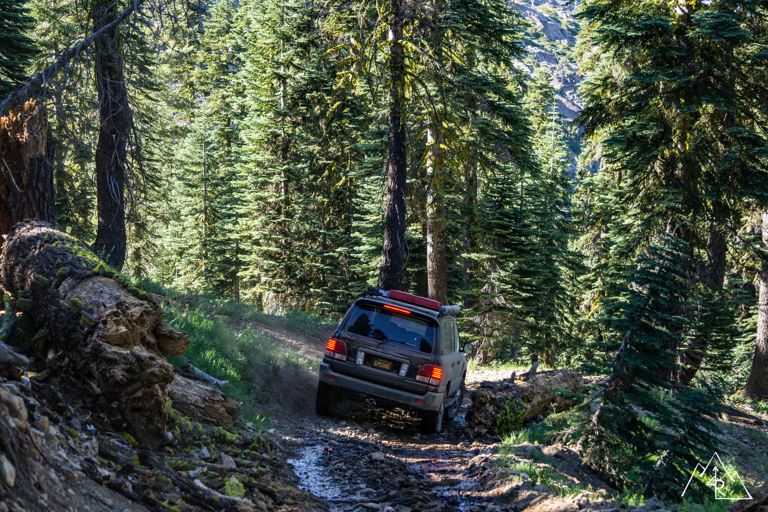
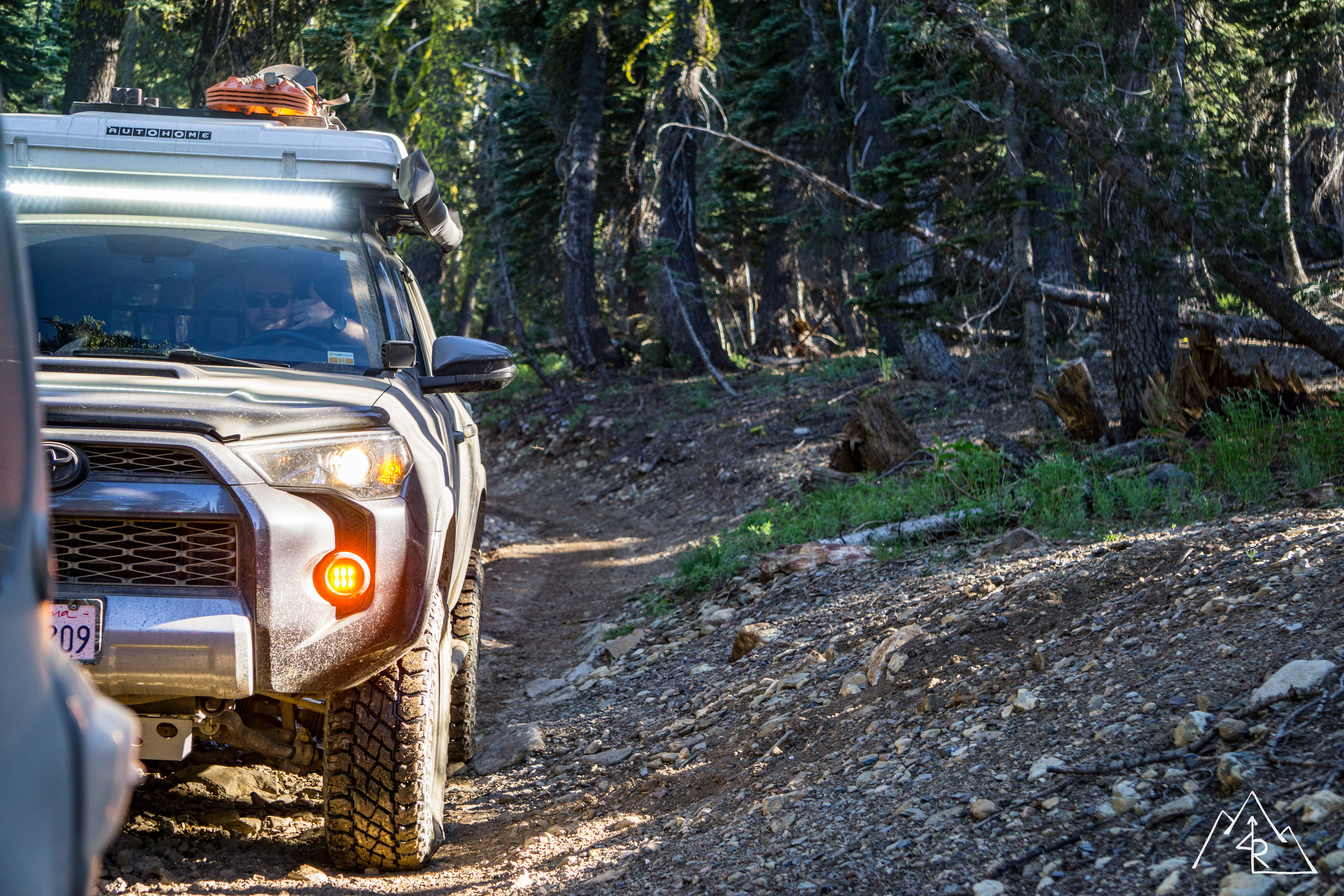
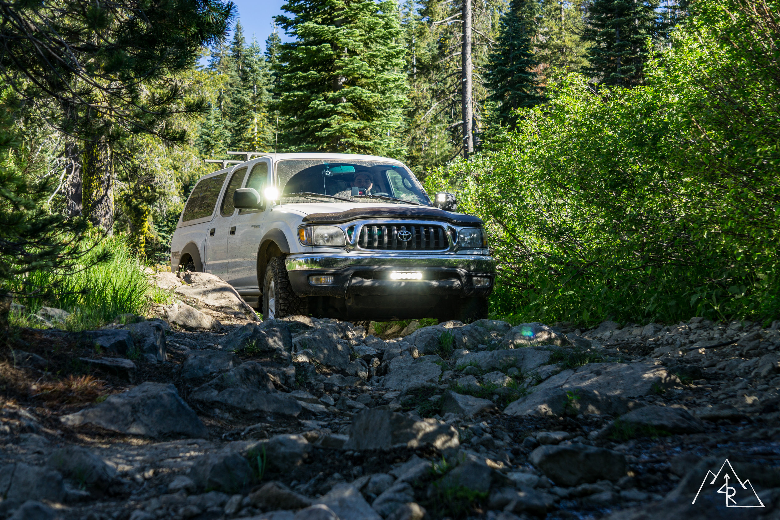
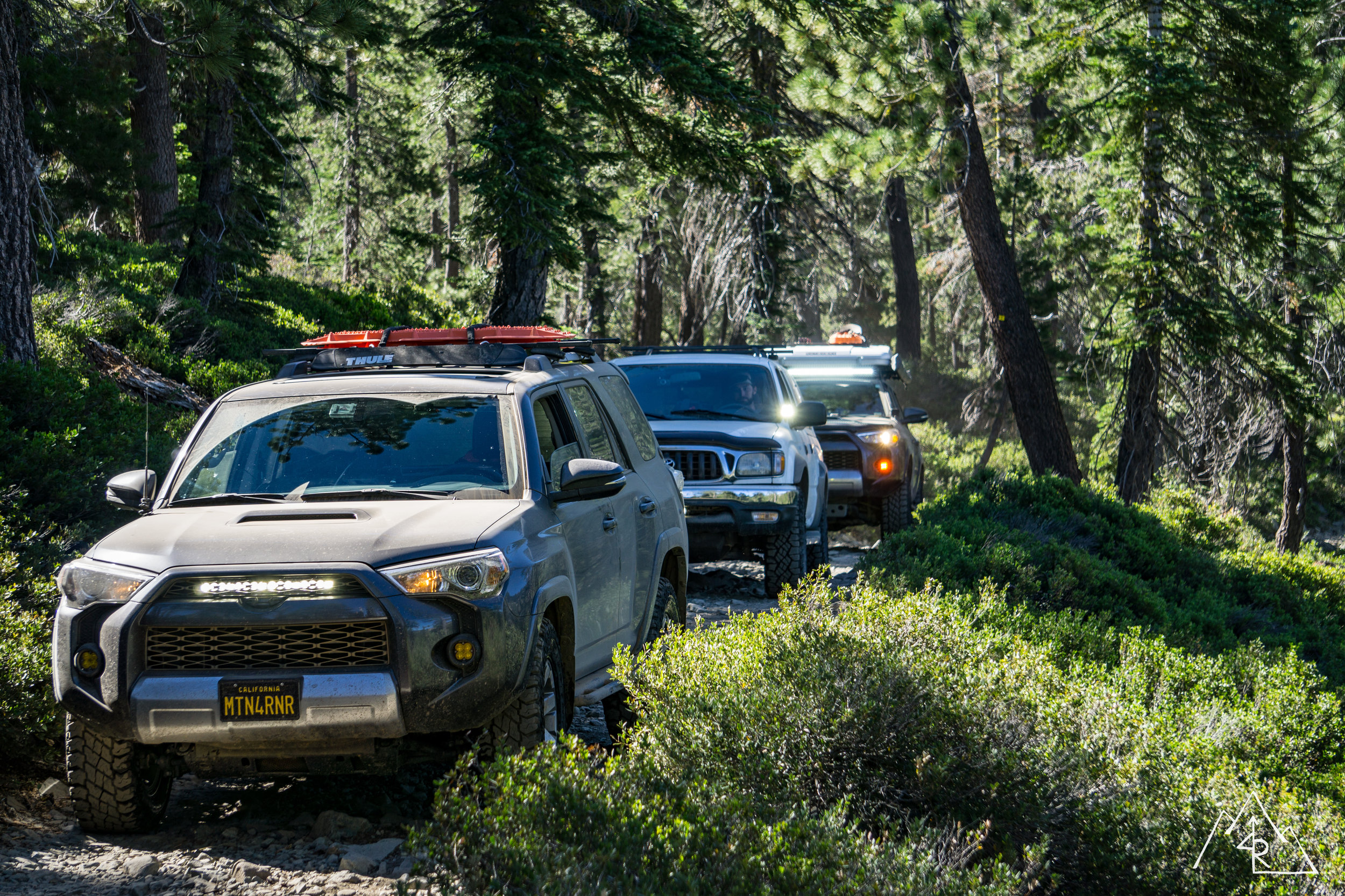
We had a new plan, we needed to backtrack and approach the lake from another road that was more well traveled and would likely not be as susceptible to snow drifts. We made good time driving back to the main road before taking a short paved hop to our next dirt entrance. The dirt road was a maintained forest service road, and was mostly gravel. Our group spread out to lessen the dust, but we remained in good radio communication. The mobile units had no problem over our convoy span, but the handheld guys had a harder time with reception. We made due by relaying messages between mobile units to keep everyone in sync. After gaining some altitude on the north facing slope, we encountered some snow drifts. But with some calculated skinny pedal action, we were able to make it through without much of an issue. One of the 4Runners became high centered on the snow following in the tracks of the 100’s but Rob was easily able to snatch him out to keep us moving. We even got a chance to recover a guy in a Ford Falcon who had tried to Duke’s of Hazzard his way through the snow. Not my first choice of a snow plow, but hey, he tried!
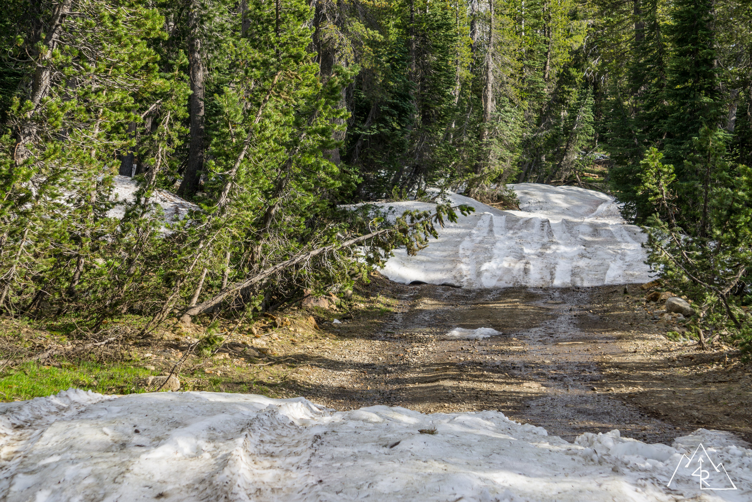
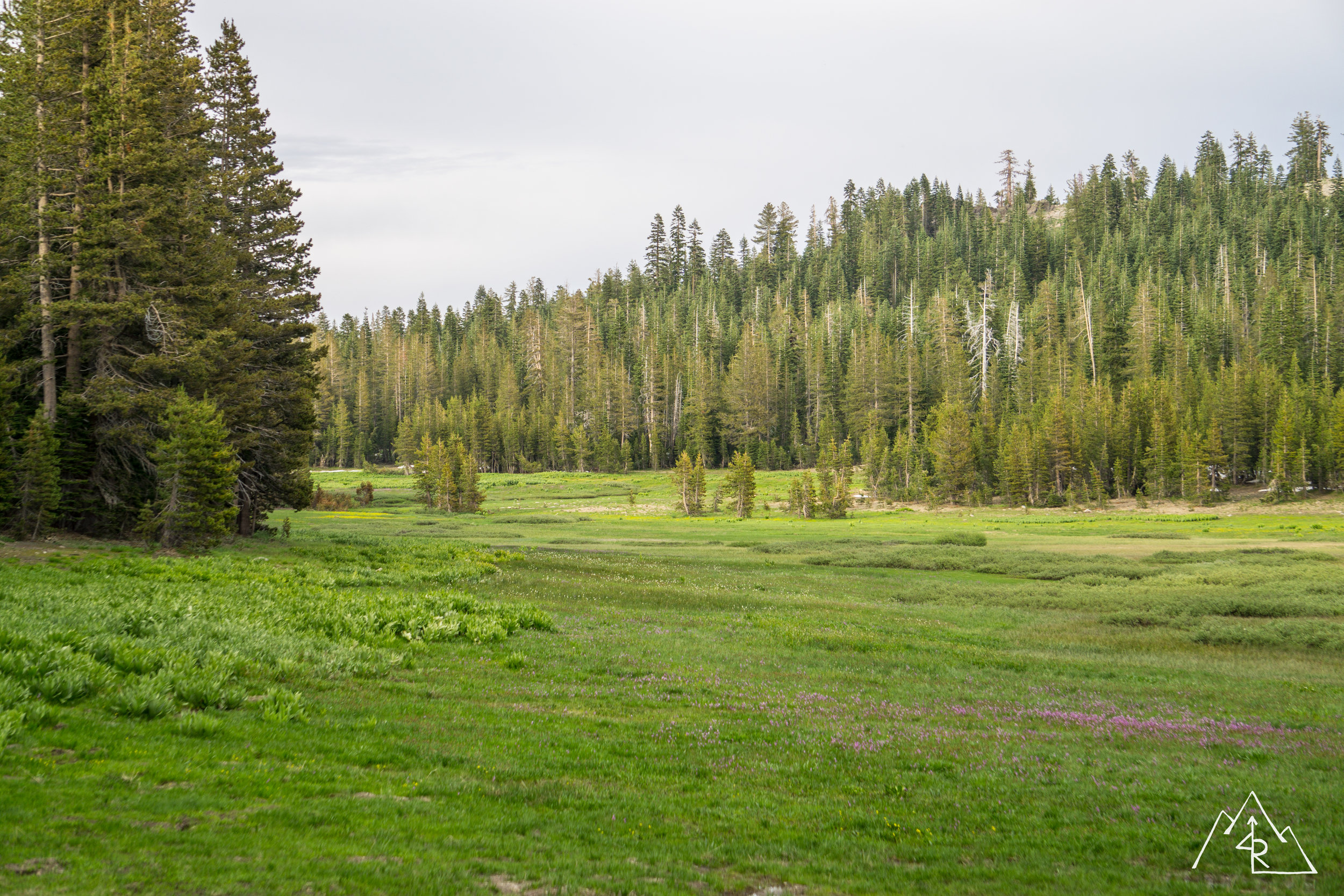
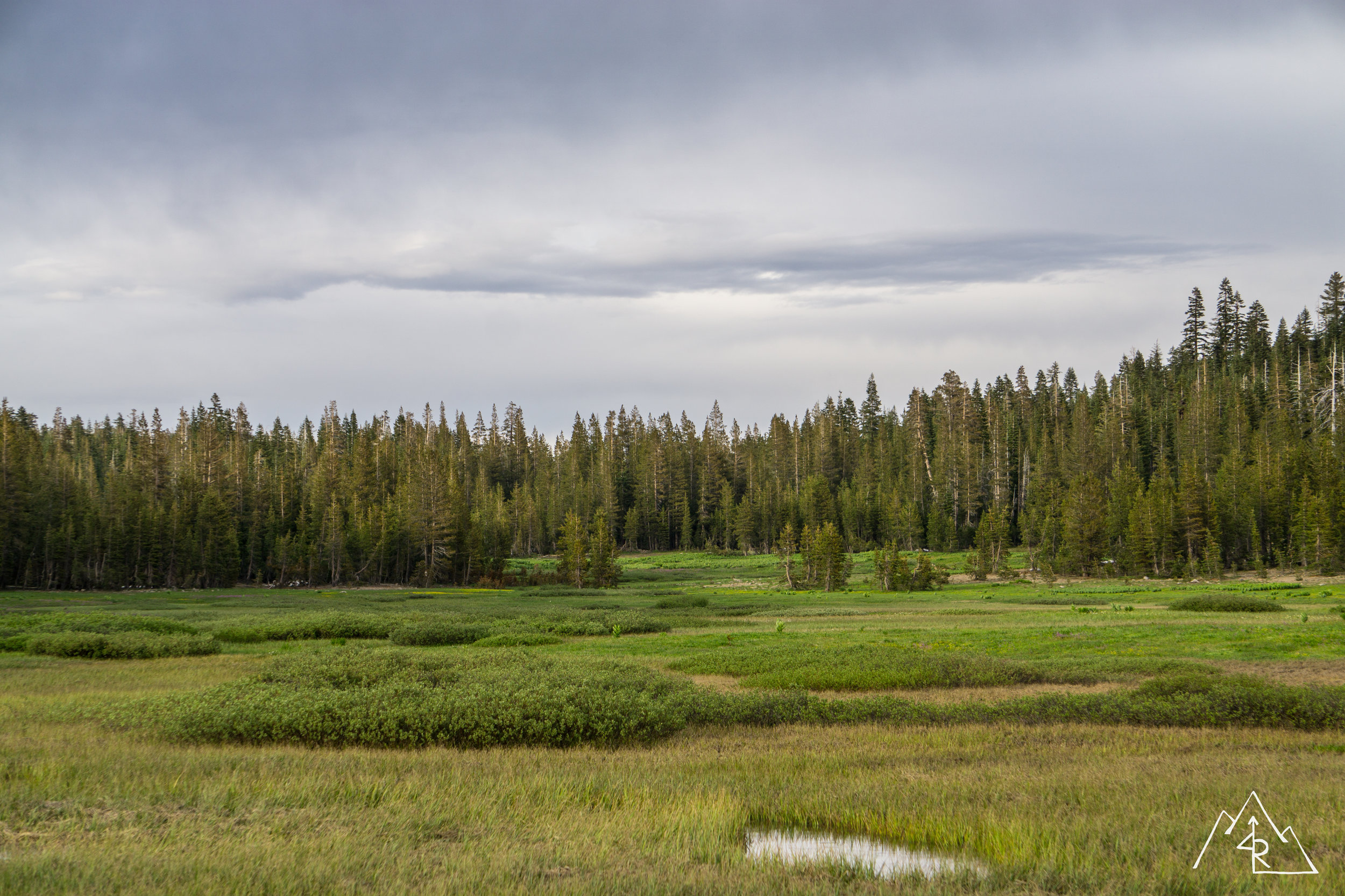
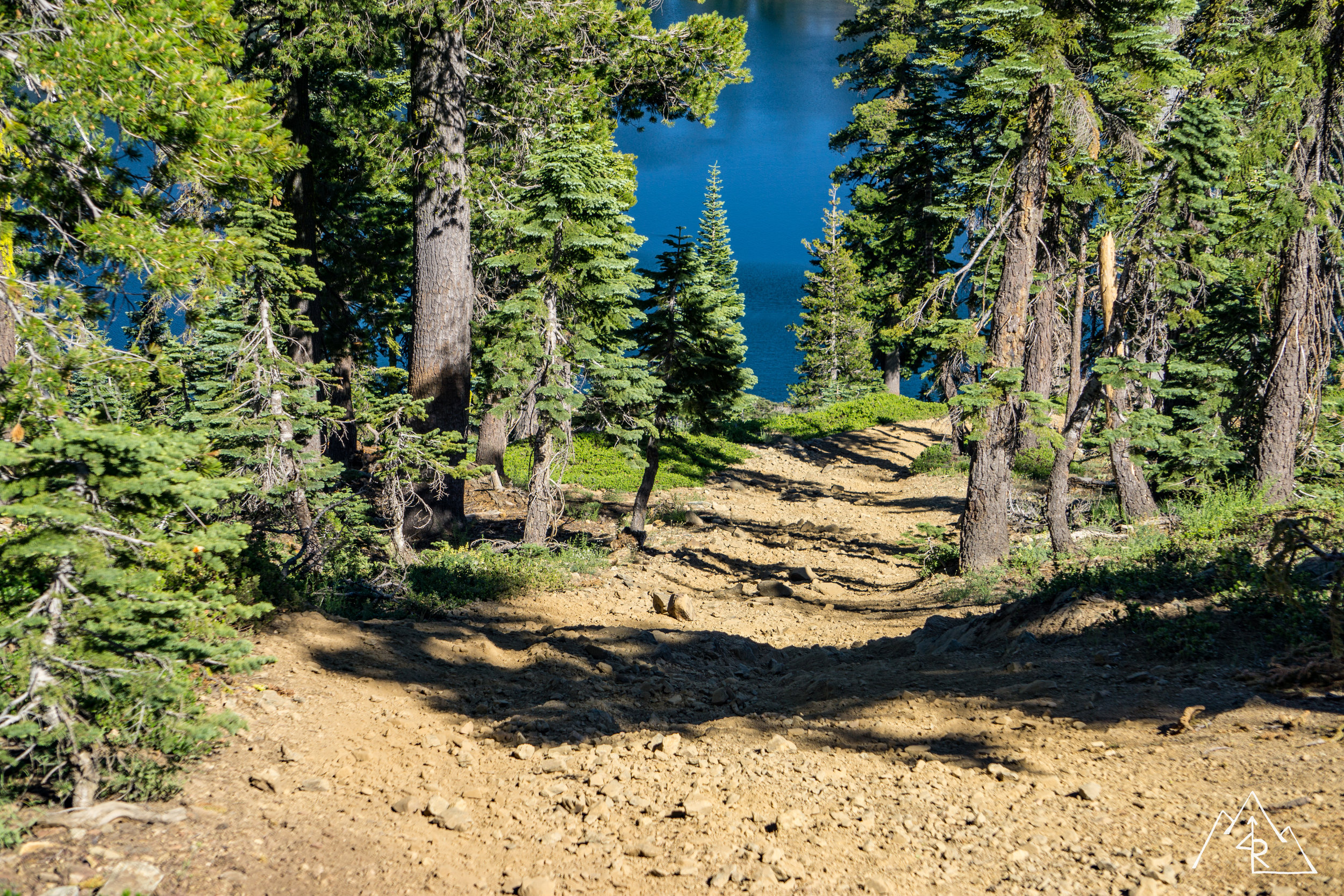
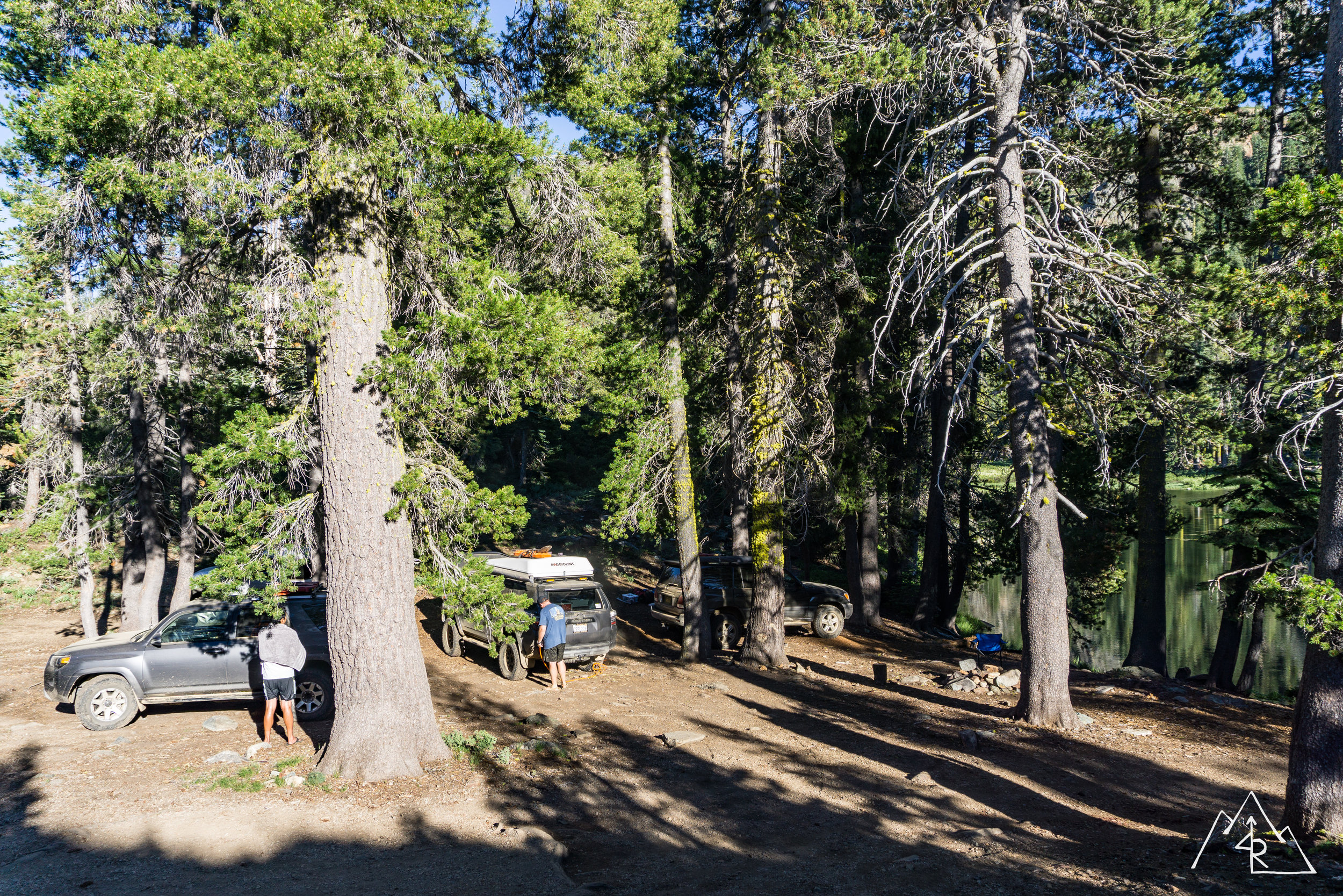
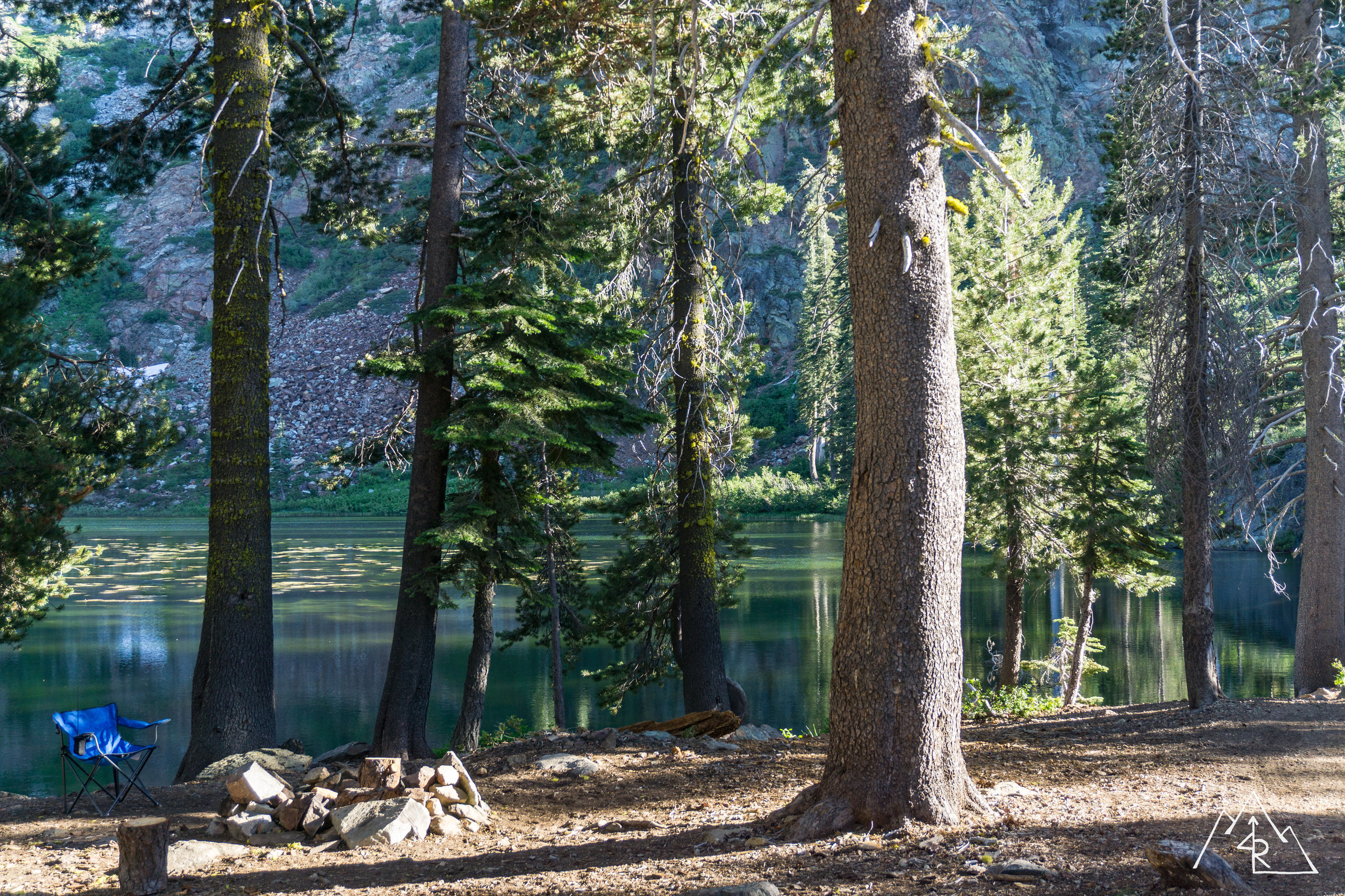
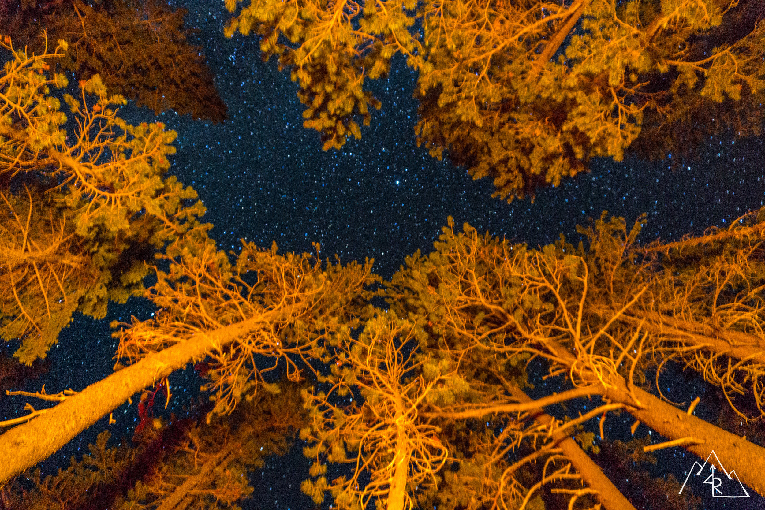
We were closing in on the lake ahead, but after clearing a downed tree, we ran into snow again. It was the last drift on the last section of trail that might have given us trouble. Tracks showed that a UTV had made it through sometime recently, but the 100’s weigh about 3 times an average UTV. Not going to happen. We looked around to our surroundings and a close by fork that we passed looked promising, so we turned around and went back to check it out. The trees opened up to a meadow with a steady stream flowing through it. The middle of the meadow had an impassable water hole that was likely worsened by the recent winter storms. We looked at the tree line and saw an existing fire ring. Bingo.
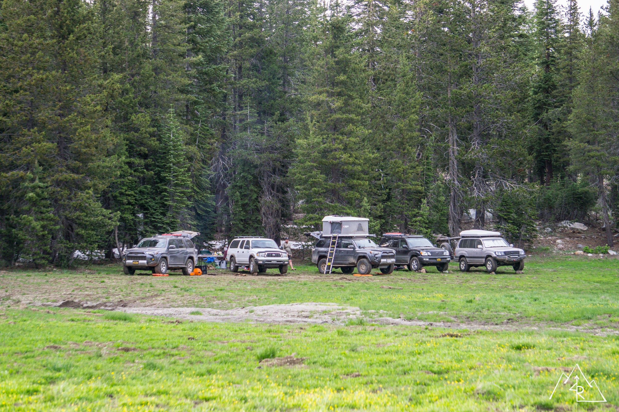
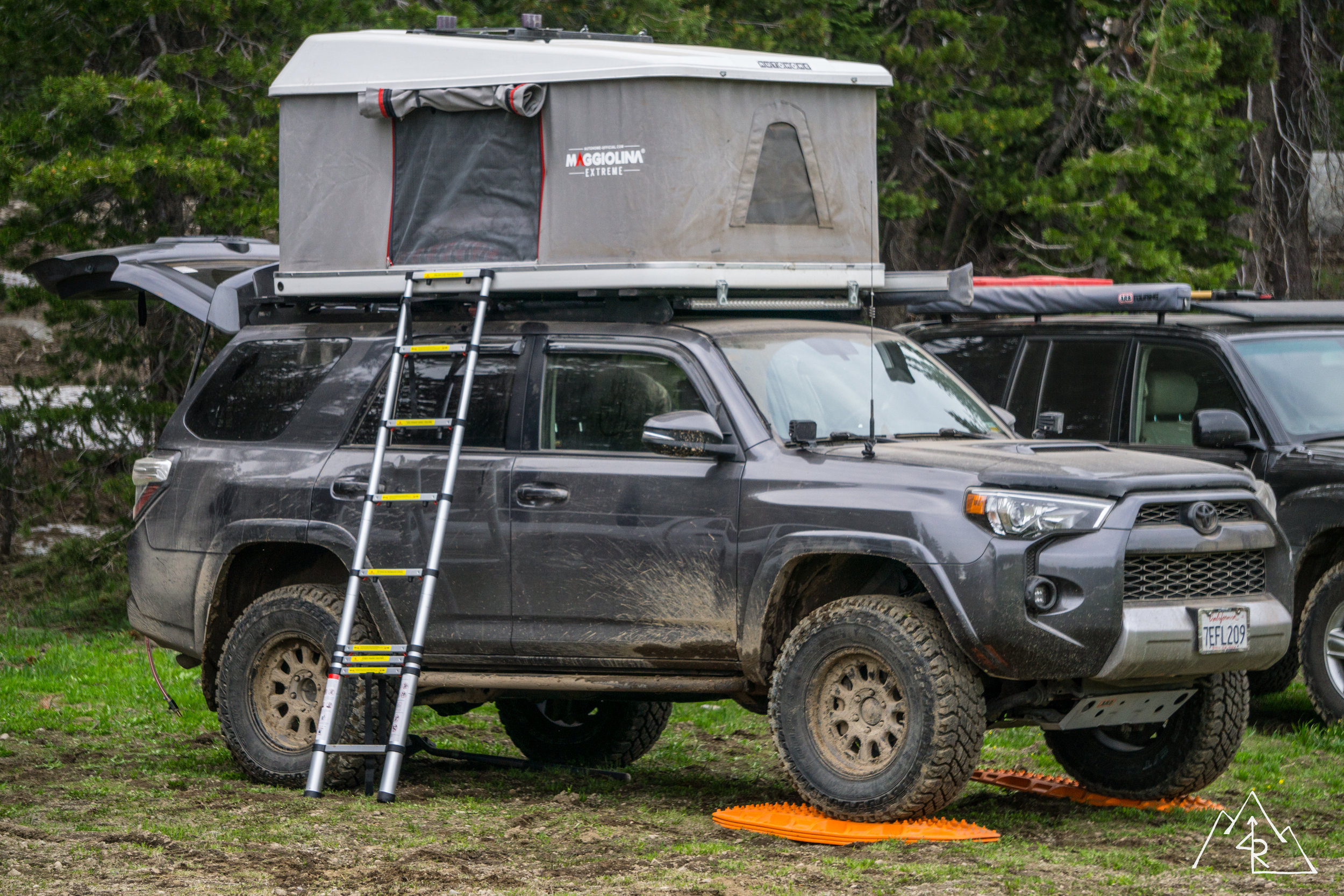
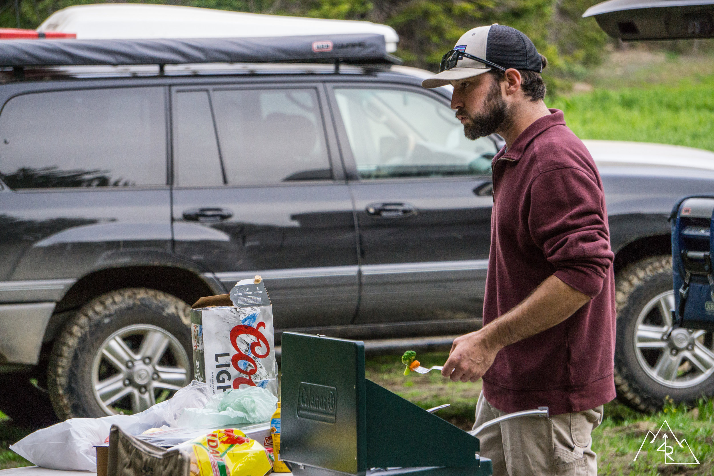
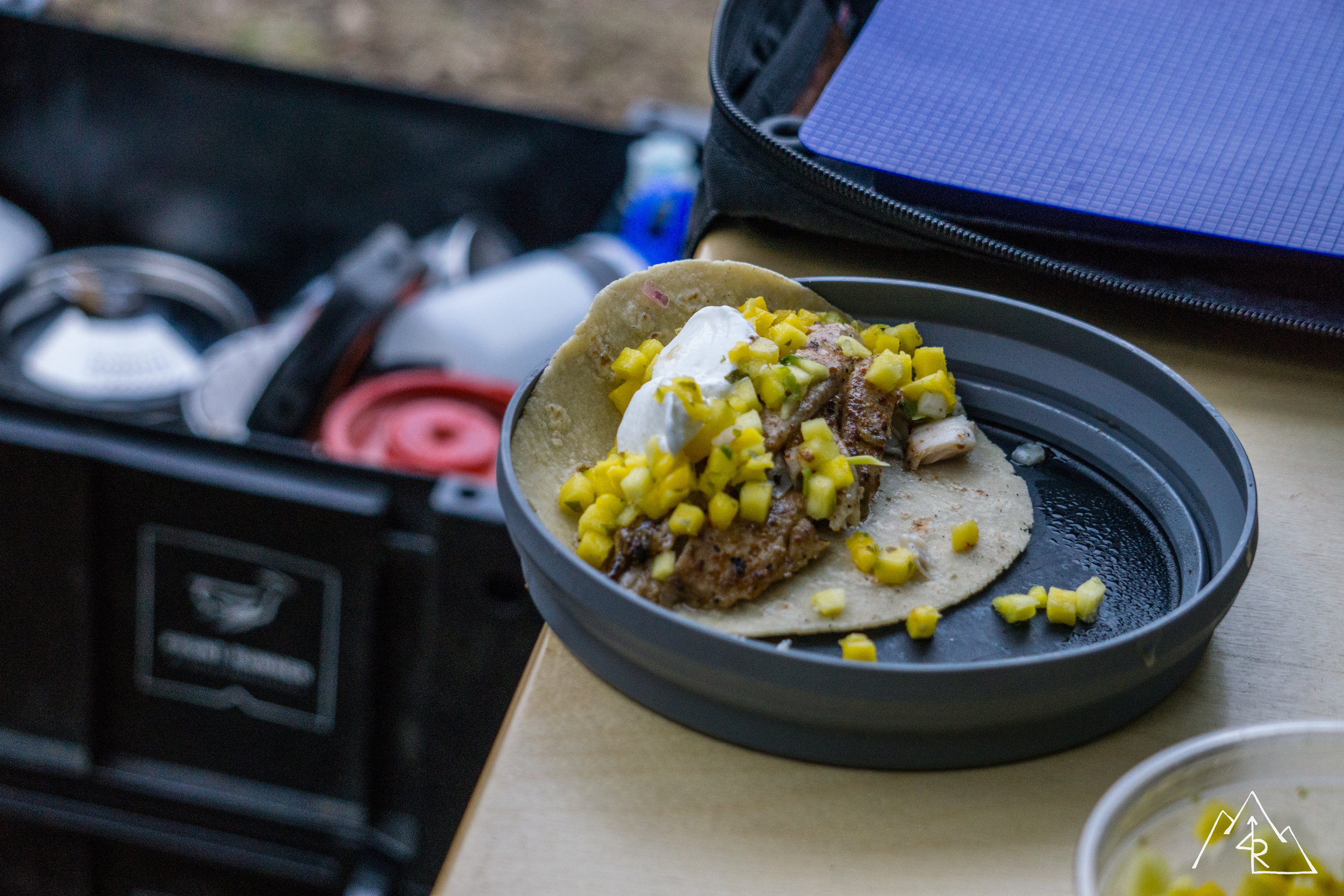
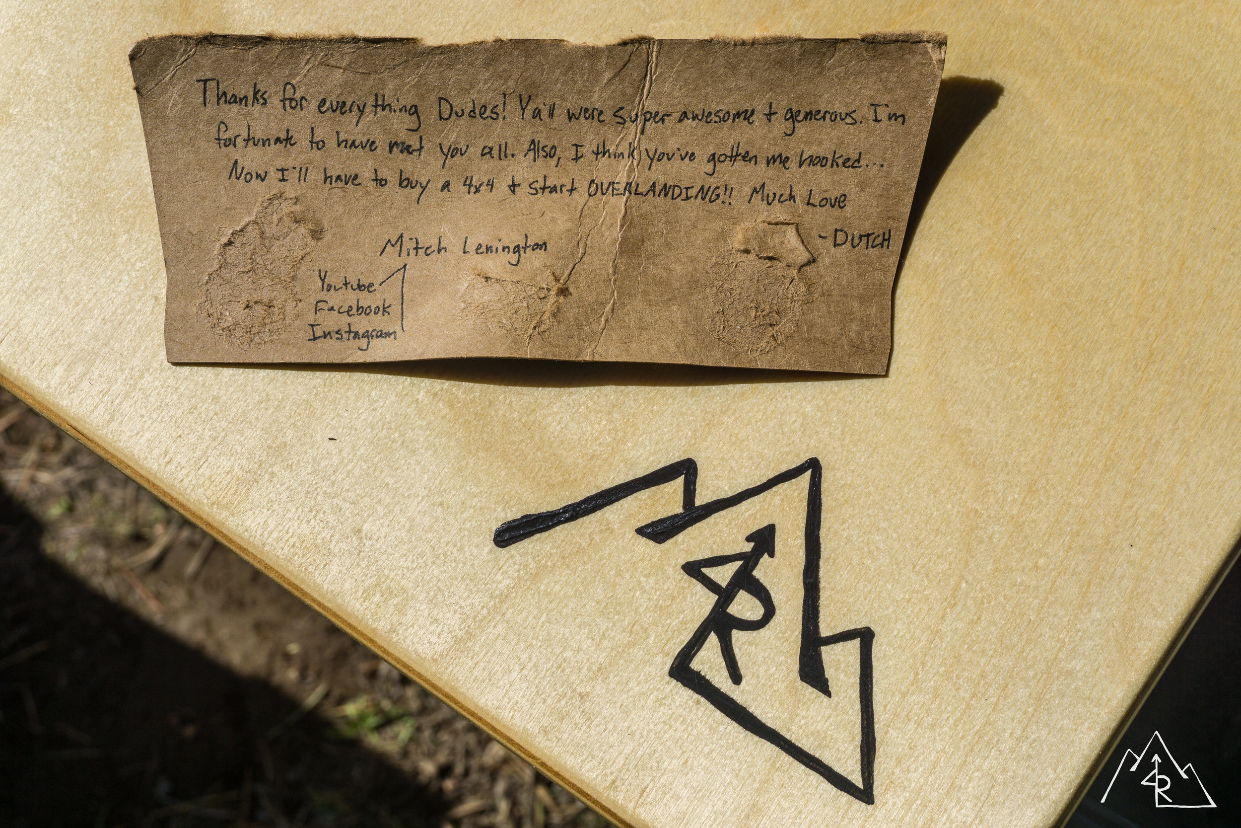
We set up camp quickly, swatting away mosquito flocks that had gathered around us. Starting a fire really helps with the blood-suckers but I had to resort good old DEET. As we sat around the fire, we noticed a lone hiker come through the valley. He took off his boots to cross the stream before we flagged him over to our camp. His trail name was Dutch, he was 19 and was on day 72 of his adventure on the Pacific Crest Trail. He had finished the Appalachian Trail in 2016, and was planning on completing the Continental Divide Trail in 2018. He would be the youngest person to complete the “triple crown” if he did so. We enjoyed his company as the evening went along and invited him to stay in our camp. I made some fish tacos on the Skottle for Reed myself and our camp guest. Seriously good stuff. We all talked into the evening, and tended the fire until smothering it before heading to bed.
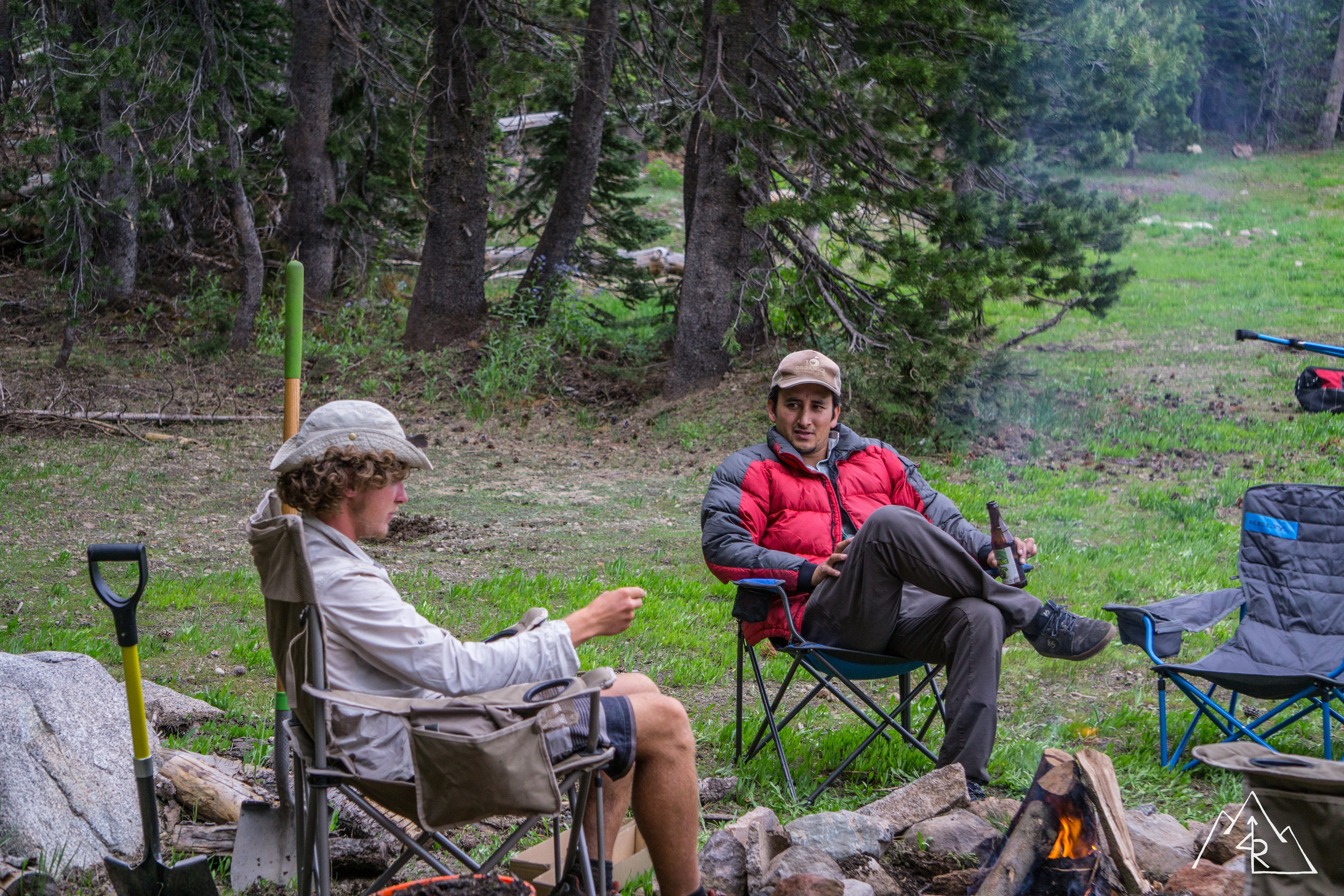
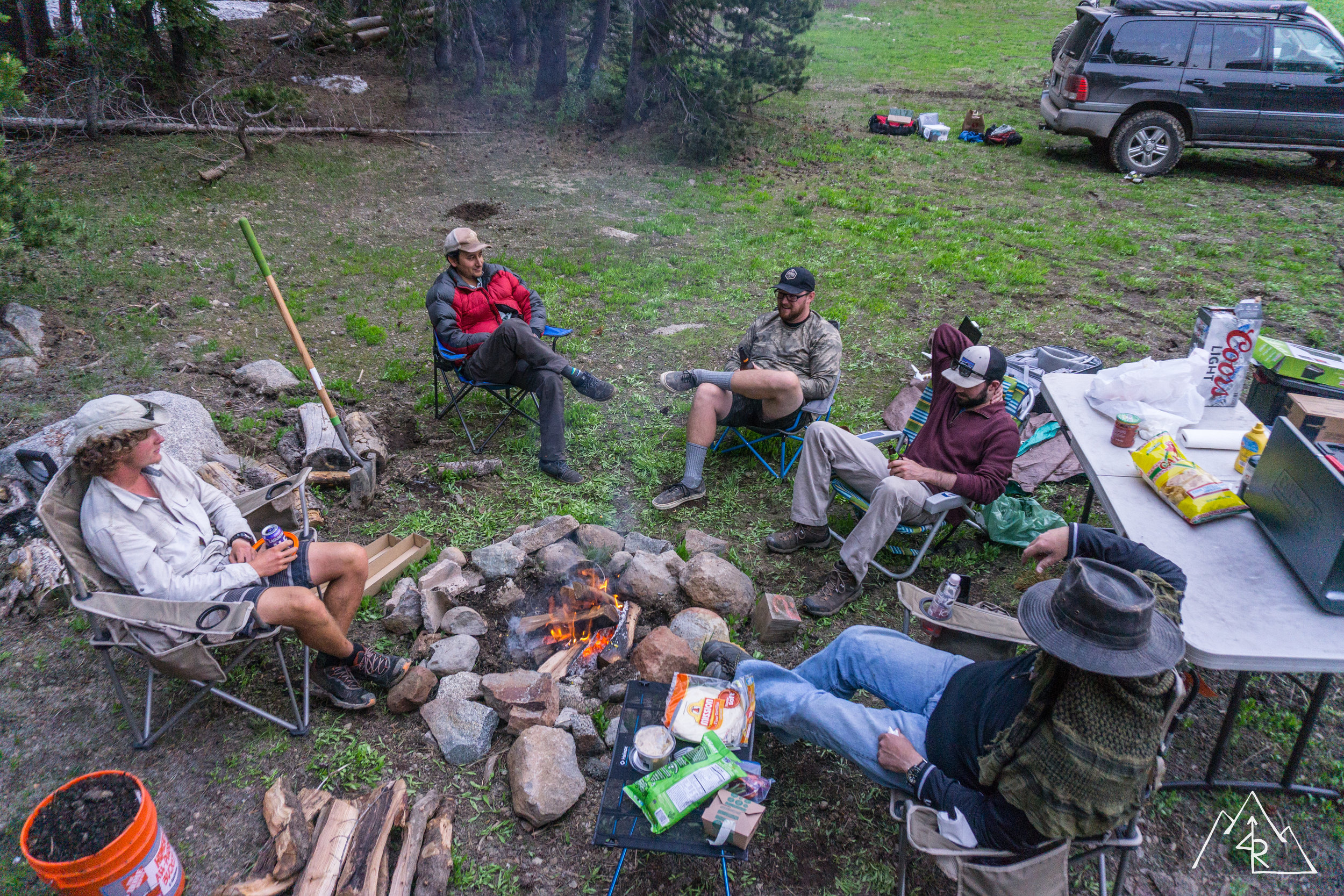
Morning came with light clouds overhead. I slept well after finally winning in my leaking air mat saga that has left me disappointed a few times in the past. But with every problem there is a solution and the solution for me was a microfiber towel under the mat. Go figure. Dutch had left camp already, off for an early start to Sierra City on his trip up North. He left us a nice note, and some contact information so we could follow his progress on the PCT!

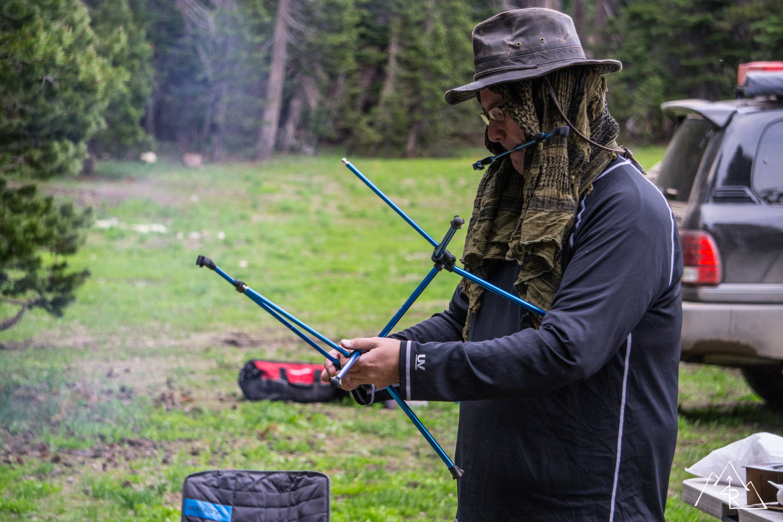
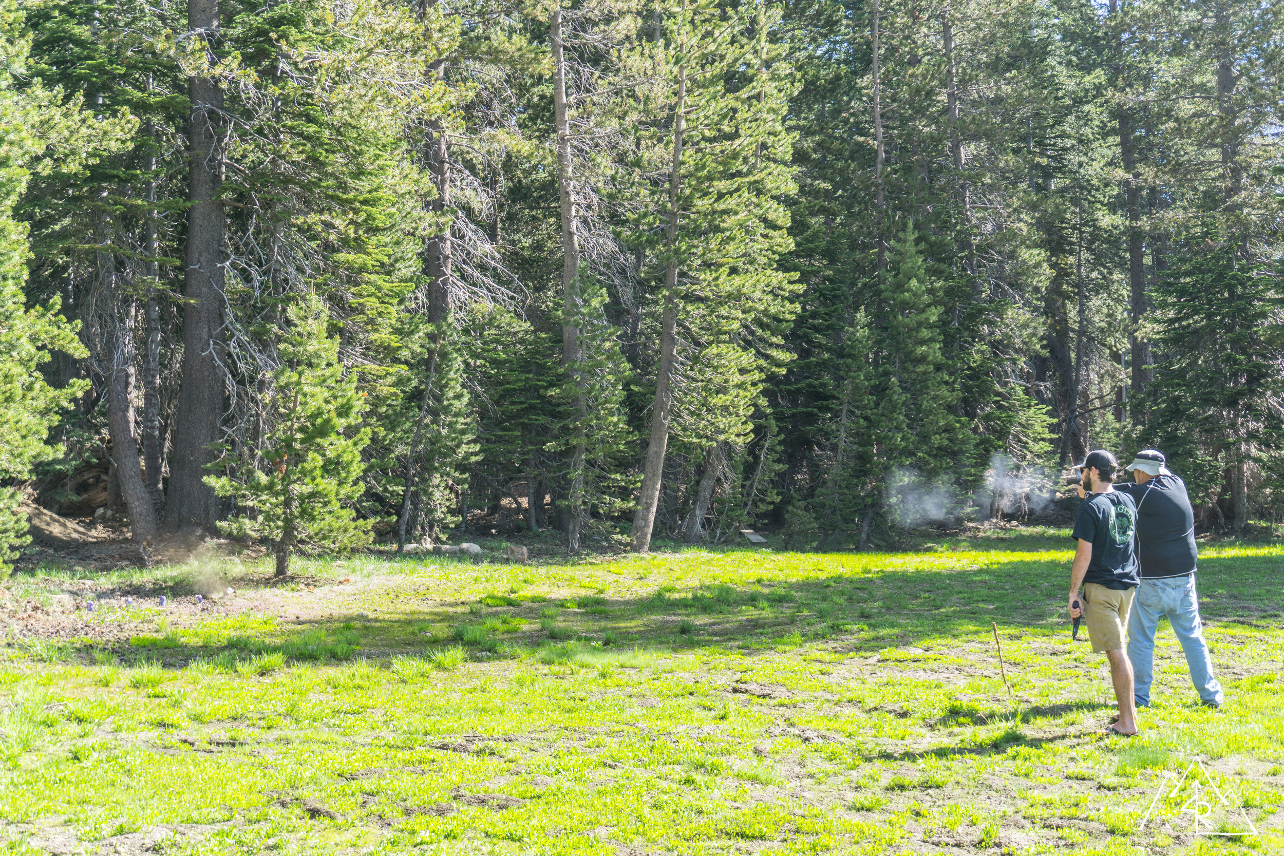
After brewing the essential morning cup of coffee, we broke down most of camp. It was at this point that someone mentioned target practice, and with a pile of empty beer cans at my feet from the night before, how could I say no. It was a good session, and with some friendly guidance from some of the more experienced marksmen, I was able to brush up on my handgun skills. And considering one of the group members had the gun that I have been looking at, I got to spend some one on one time working with it confirming that I think it would be a good fit. Enough about that, it was shooting time, and those cans were way too.... intact….
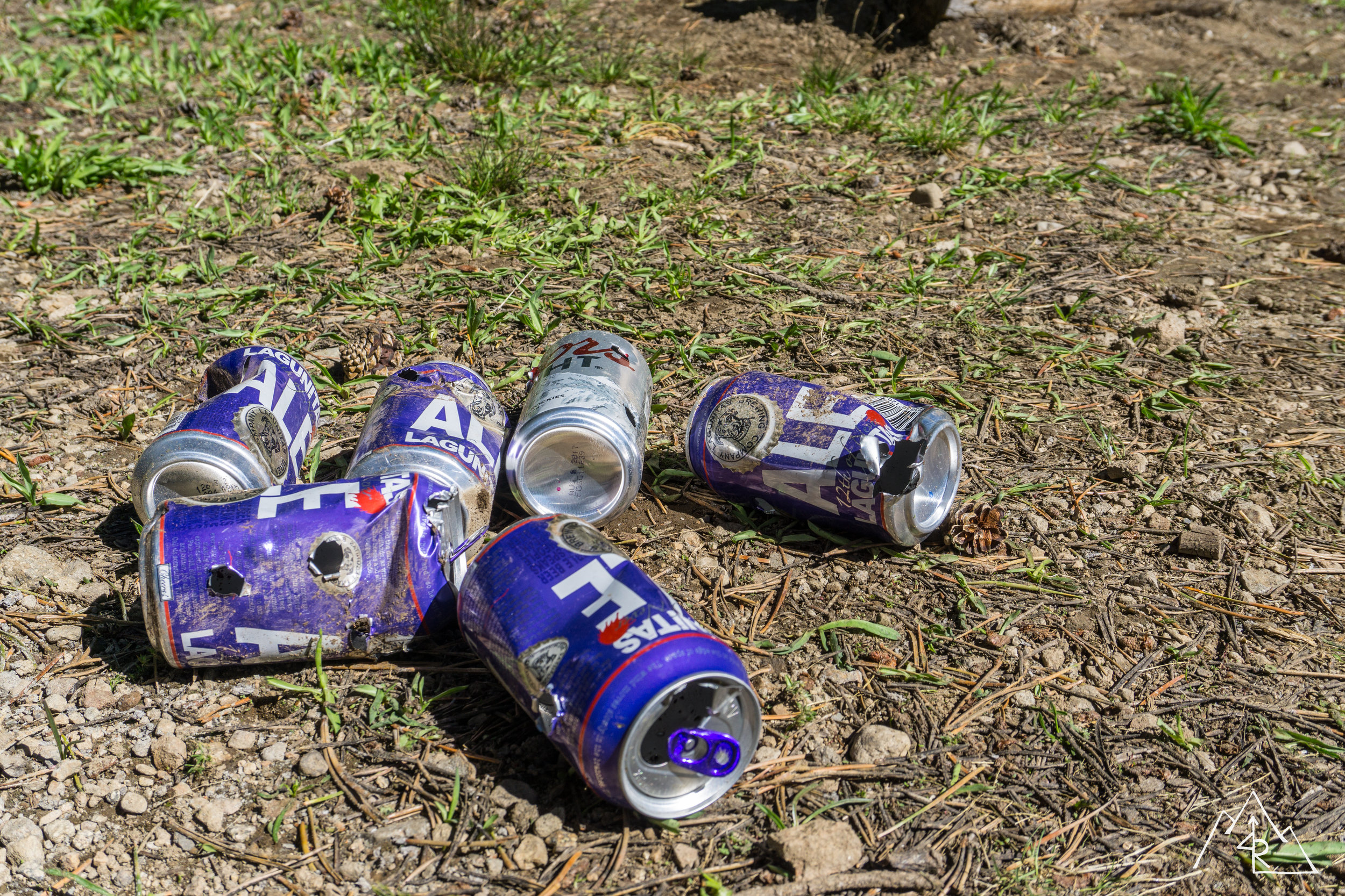
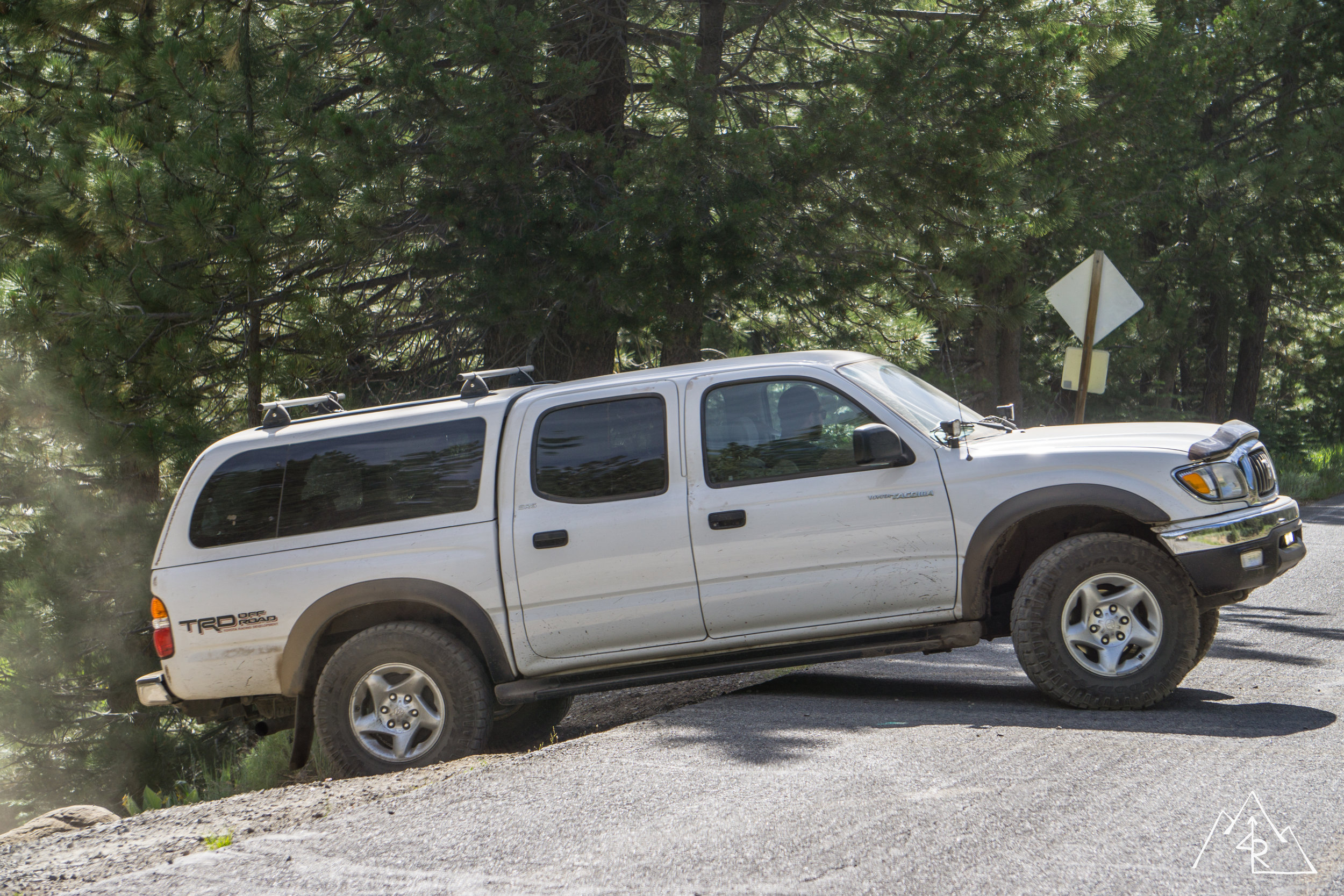
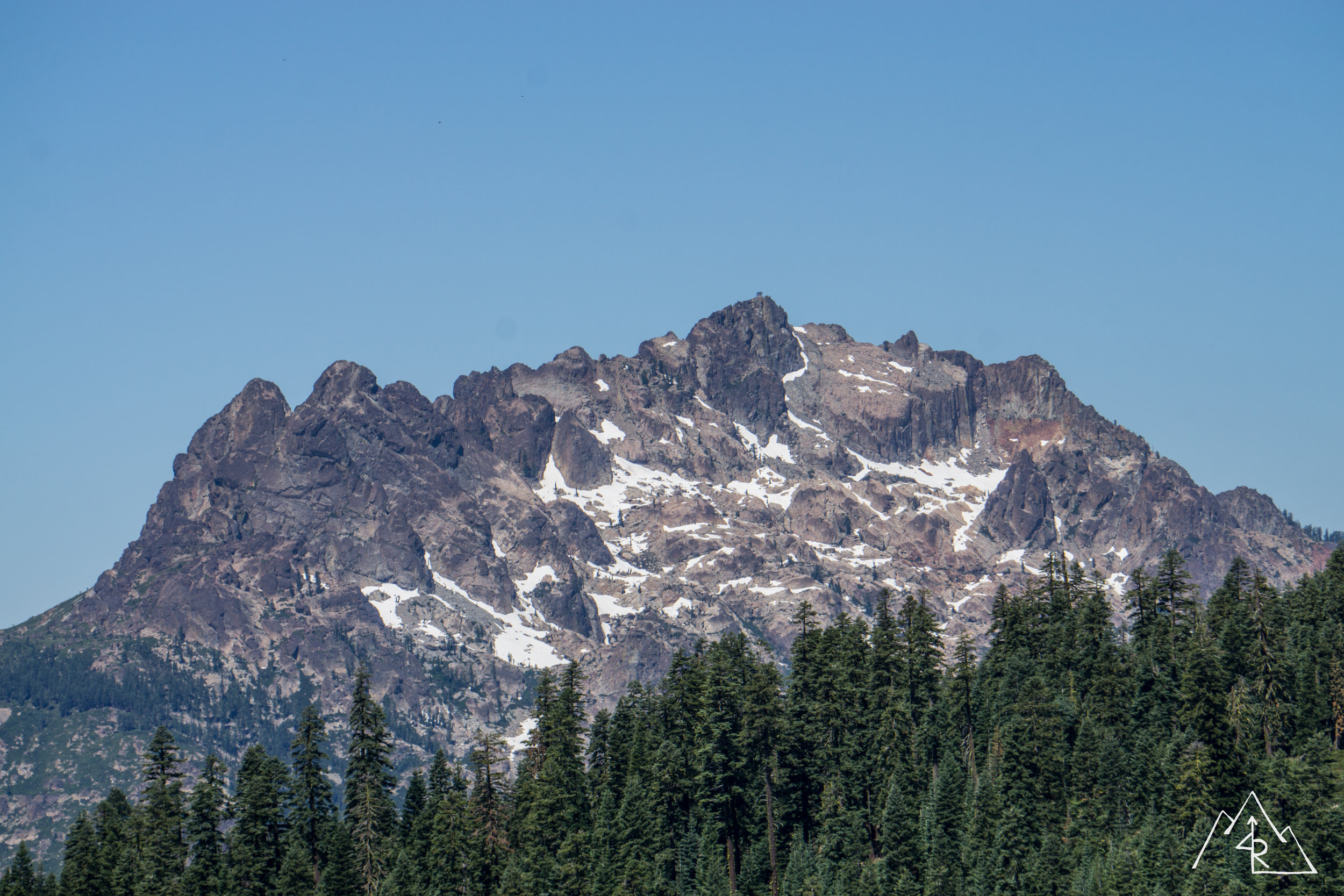
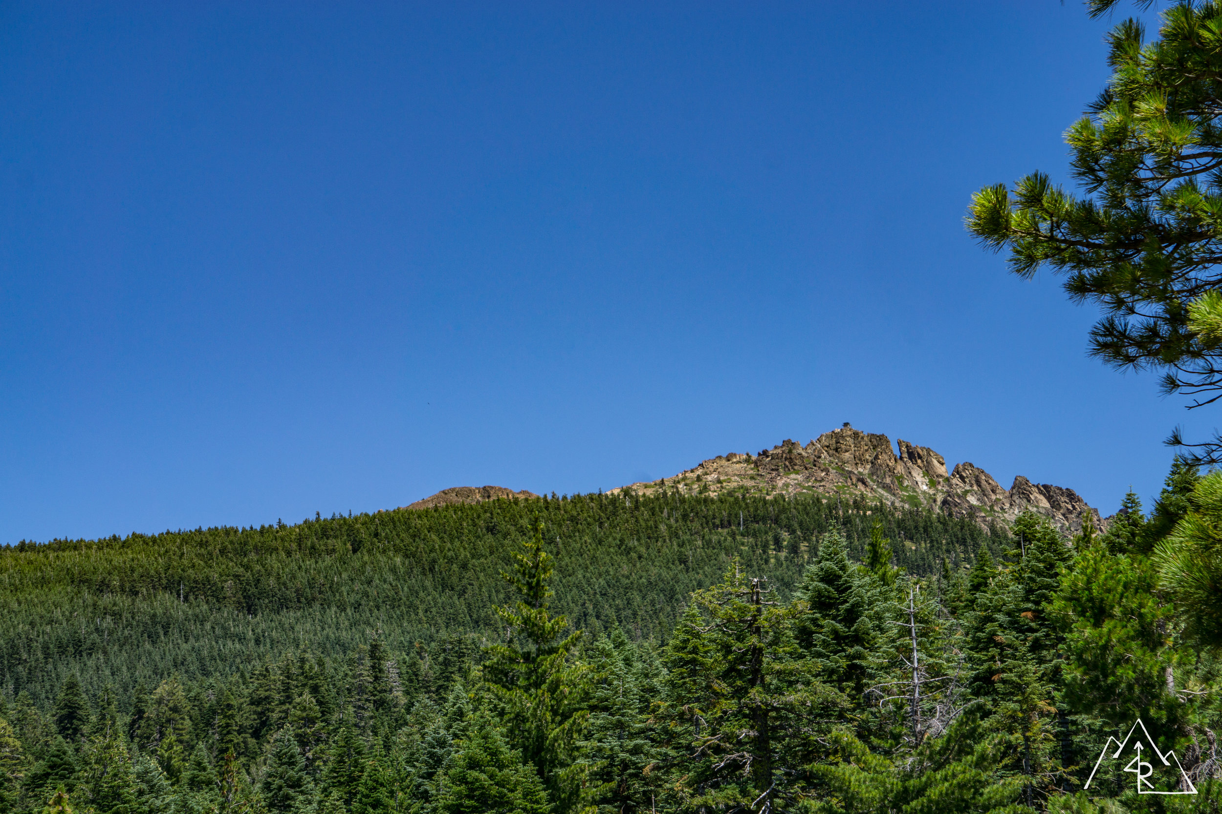
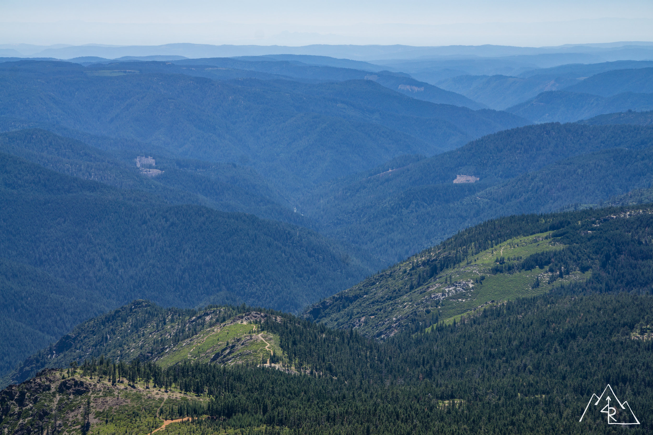
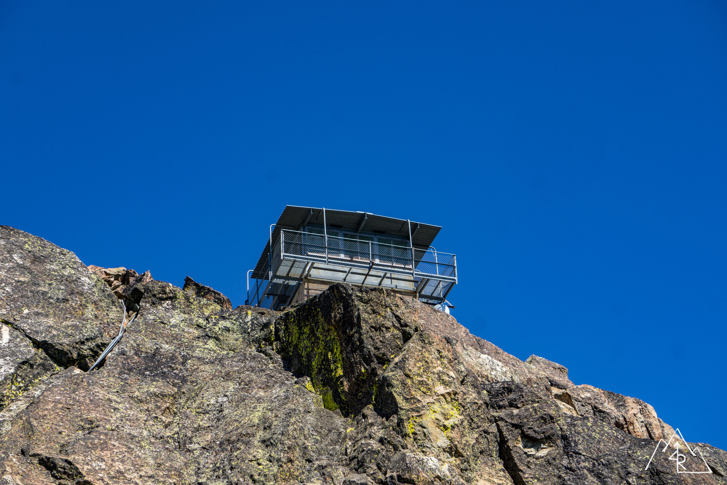
After spending some time picking up spent brass and cleaning up cans we packed up what was remaining to hit the trail, our goal was Sierra City for lunch. The route I planned used a fire road that wound up and over the north ridge lines before dropping down into the Yuba River Canyon and Sierra City. Before losing elevation, I came around a corner and caught the first glimpse of the Sierra Buttes.. They are one of my favorite geographical features in California. In a few hours, we would be on the other side of the valley, on top of the Buttes at the fire lookout.
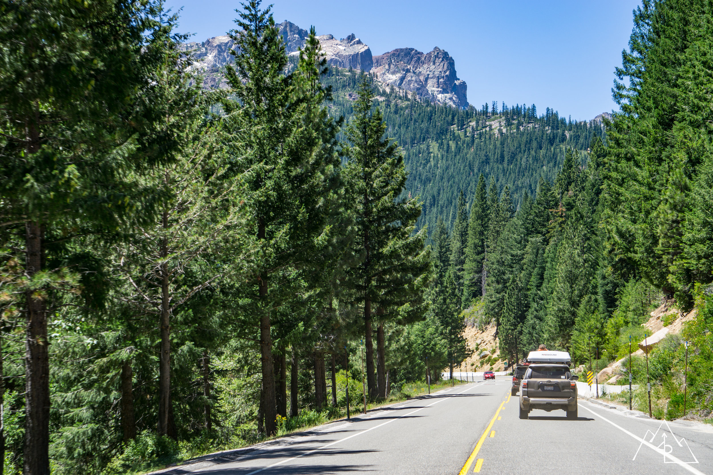
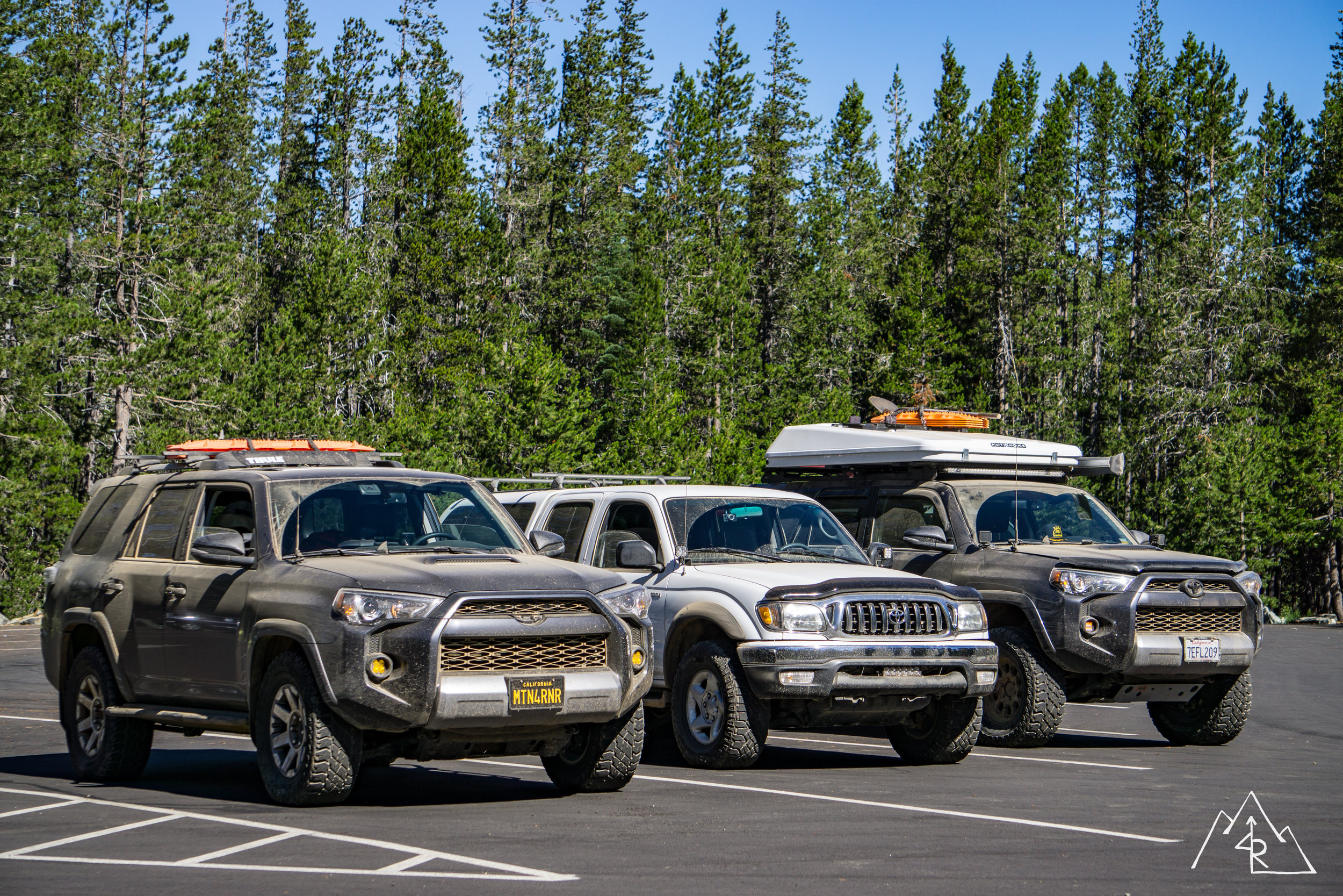
The elevation dropped quickly as we descended into the Yuba River Canyon. My brakes were hot at the base, squeaking a bit. But I think that was mostly due to dust. We got to the Highway 49 Junction at Bassett Station, a local gas station / store / restaurant. This was Rob’s exit point, and place to air up before hitting the road back home. The rest of us would recoup at the station before driving into Sierra City and to the trailhead for lunch.
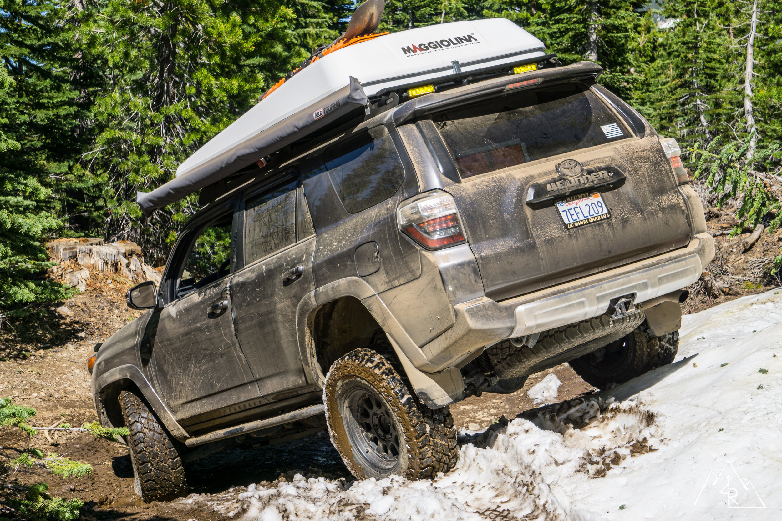
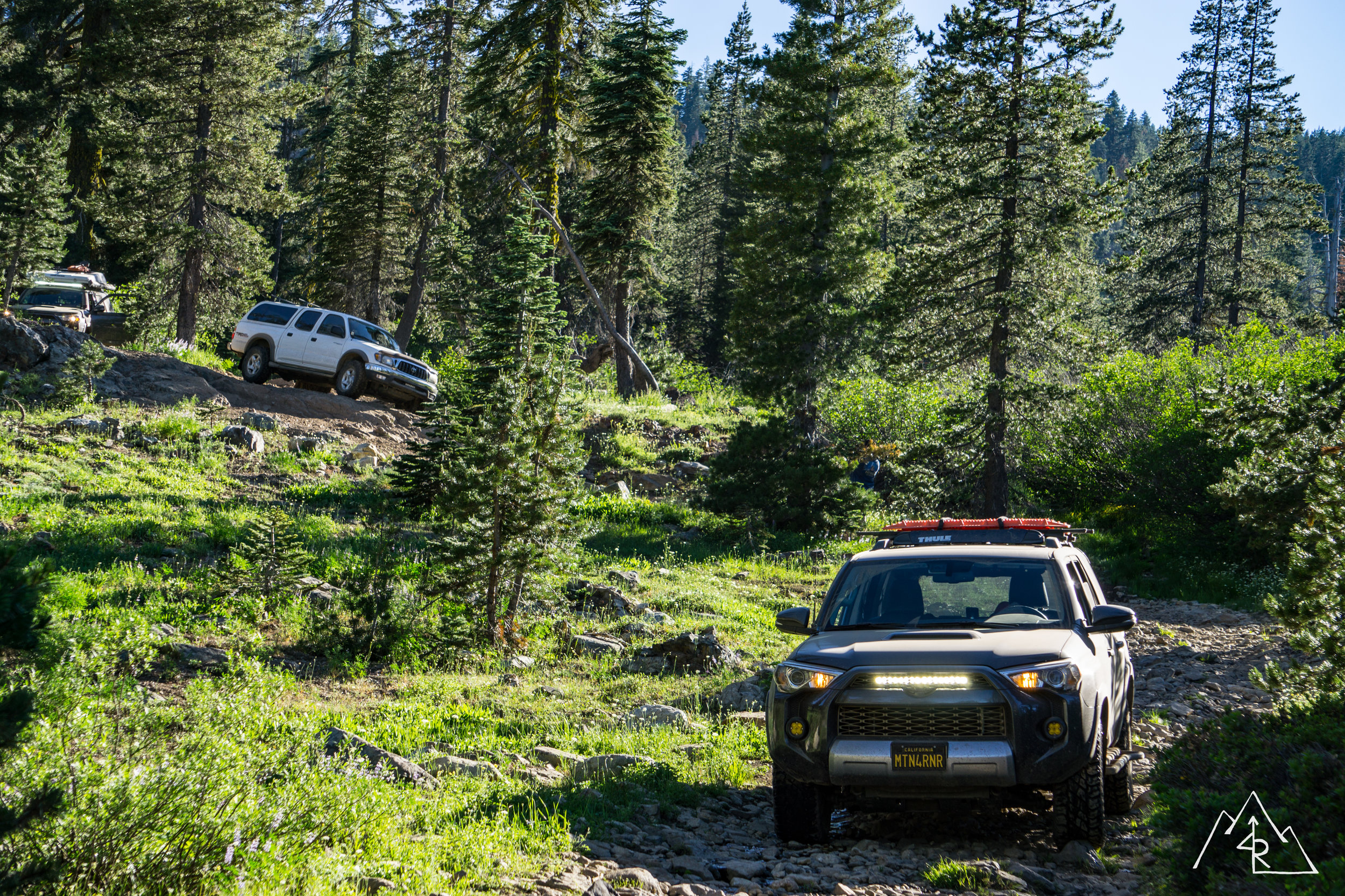
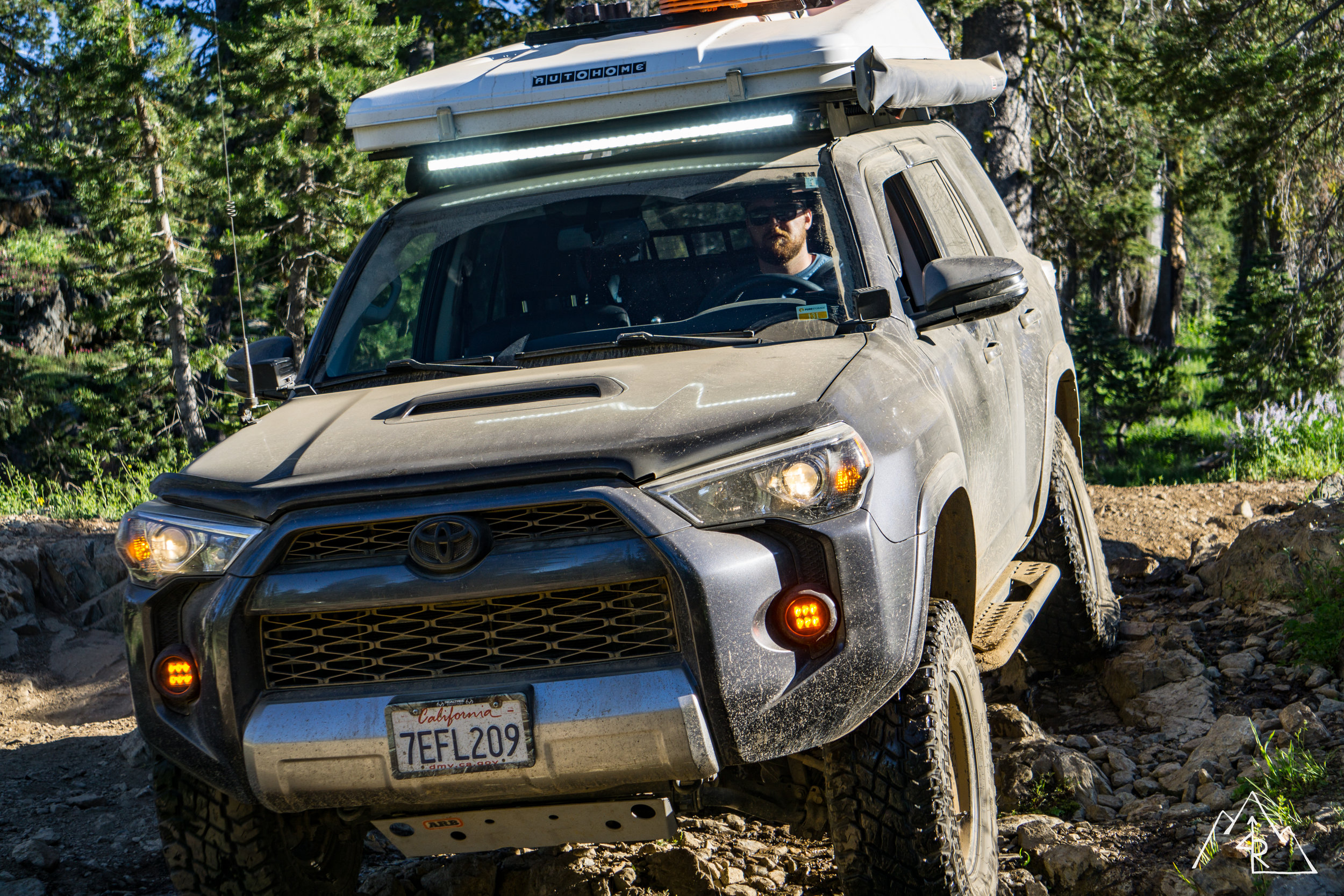
Our goal after lunch was to make it to the fire lookout and down to the campsite with some time to spare for a swim in the lake. The climb from Sierra City to the 4x4 parking area was steep, narrow and followed the edge of the mountain from the south to the north west side. We climbed more than 3,000 feet in a few short miles. Towards the top of the ascent, we passed a group of SUV’s that were stopped by an off camber section, skirted a snow section that was barely passable for Vincent the week before, and cut a section of a downed tree with my chainsaw to allow us to reach the trailhead. Nothing eventful, but a lot of fun!
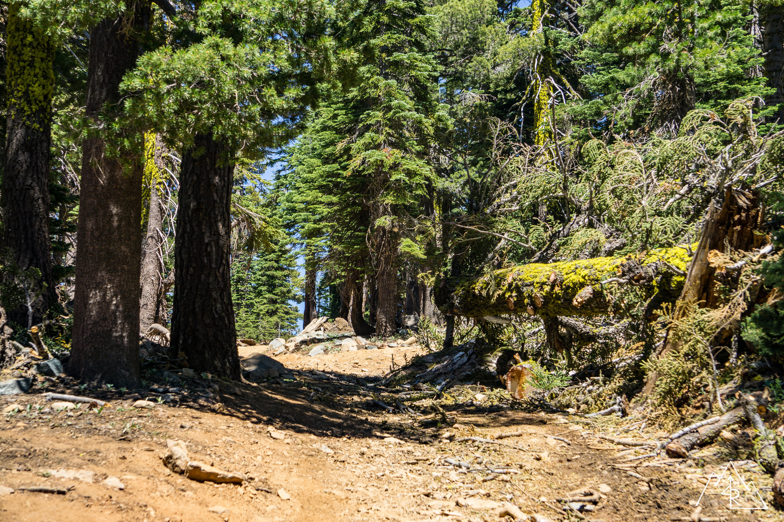
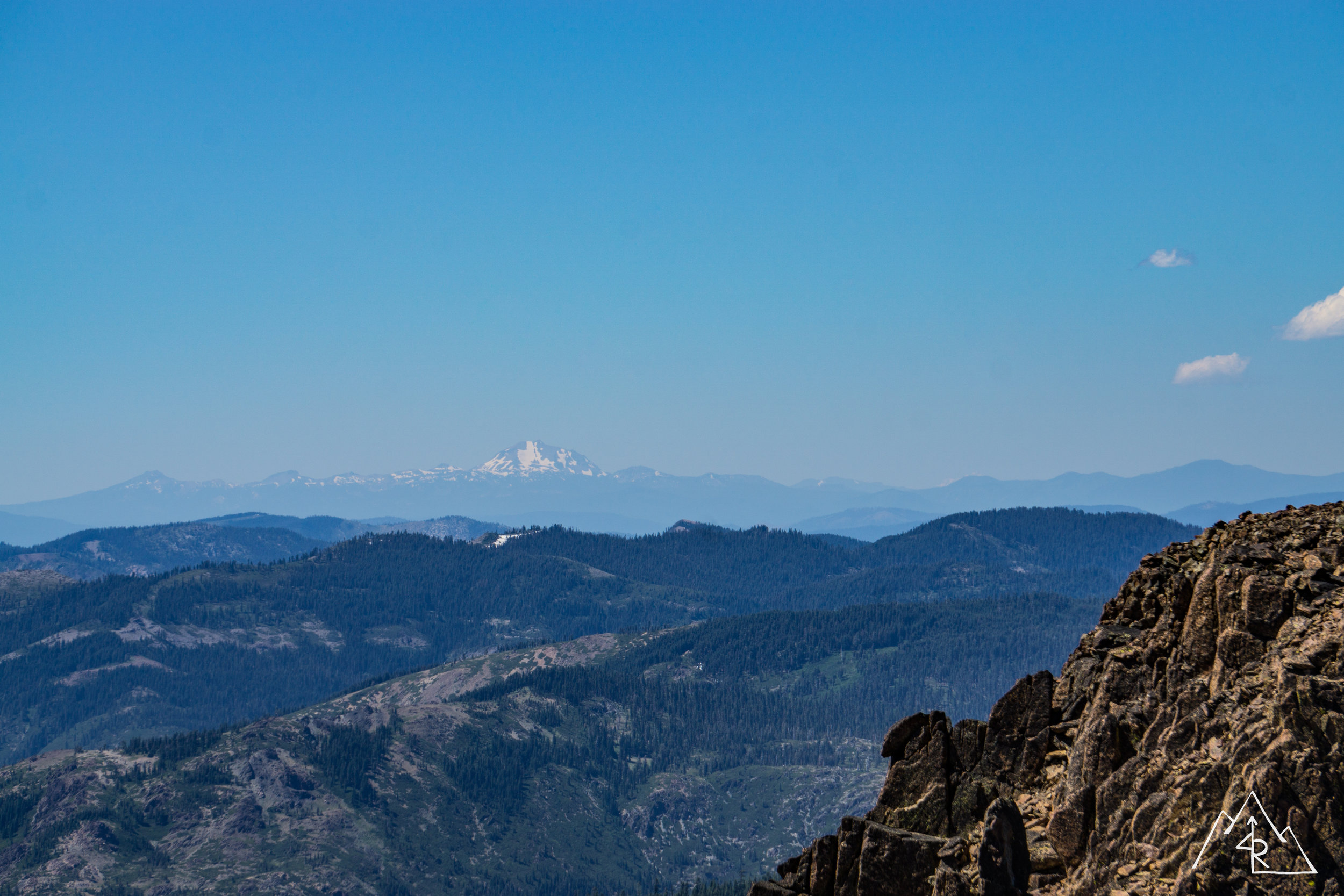
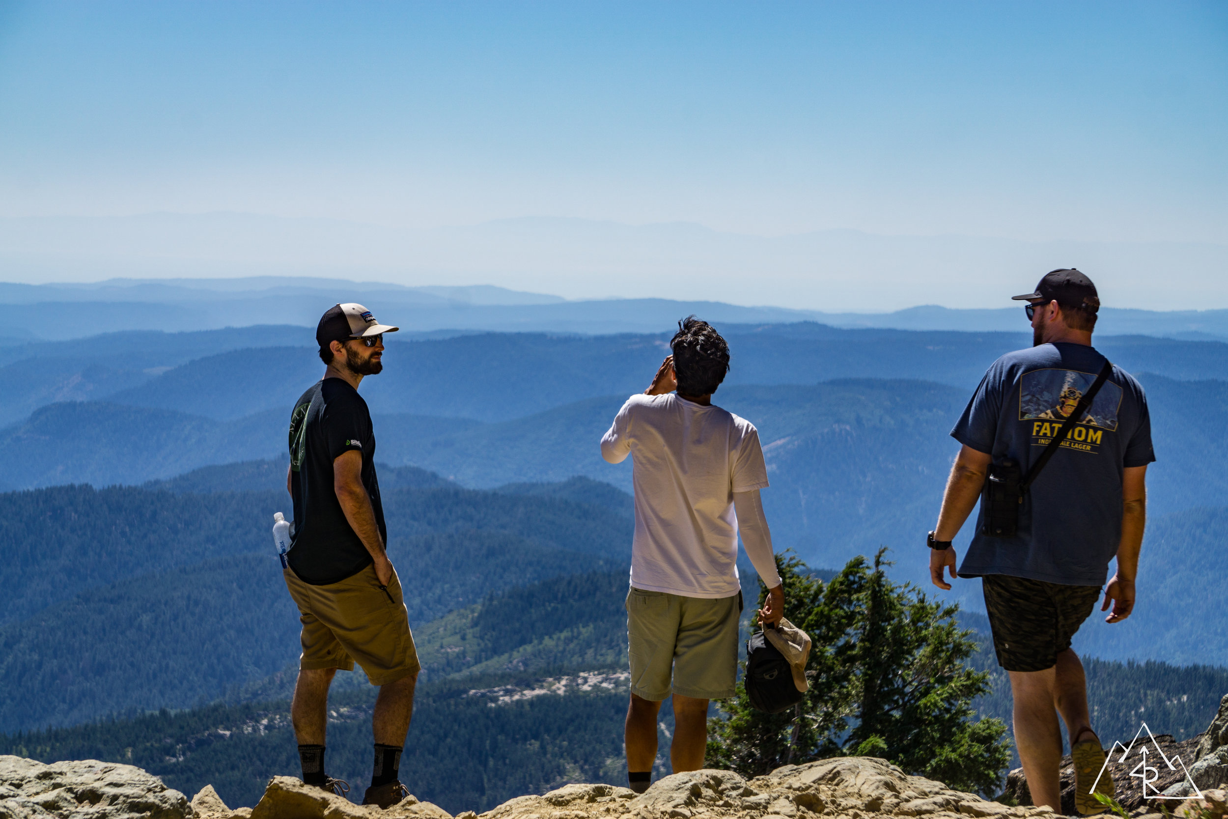
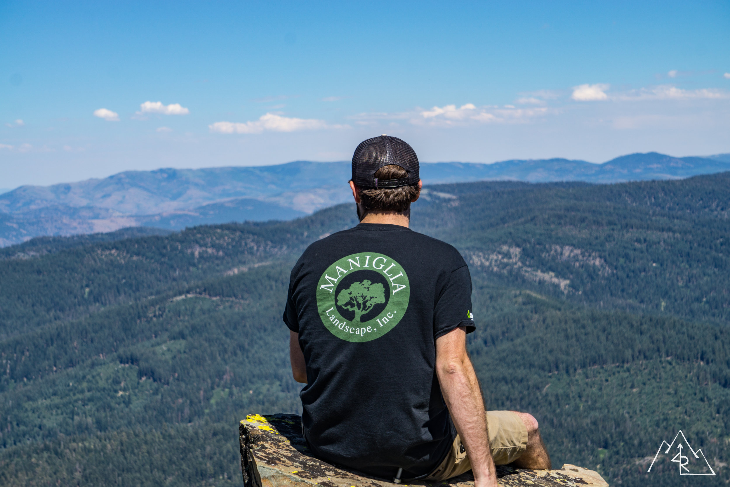
The 4x4 trailhead to the Sierra Buttes fire lookout gives a bit of a leg up in elevation and distance over the normal hiking trailhead. Bri and I hiked from that trailhead the last time I was up there, so I didn’t feel too bad enjoying some music and a comfy seat as we ascended the mountain. The hike was short and sweet, and the view from the top was amazing…
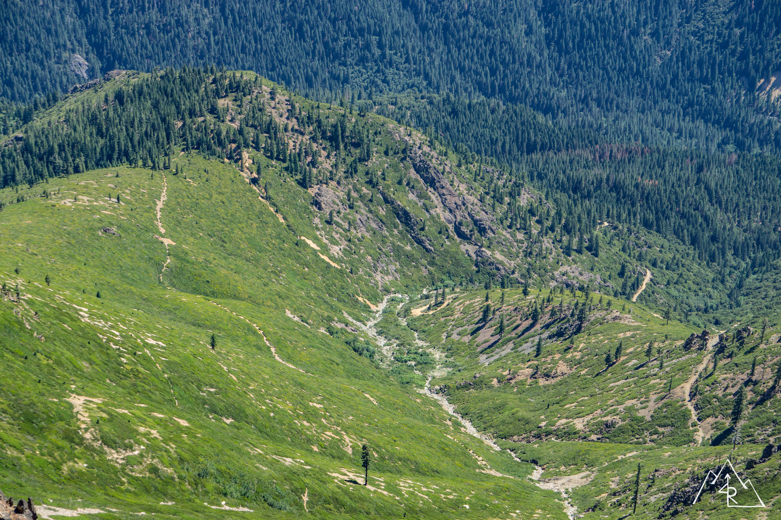
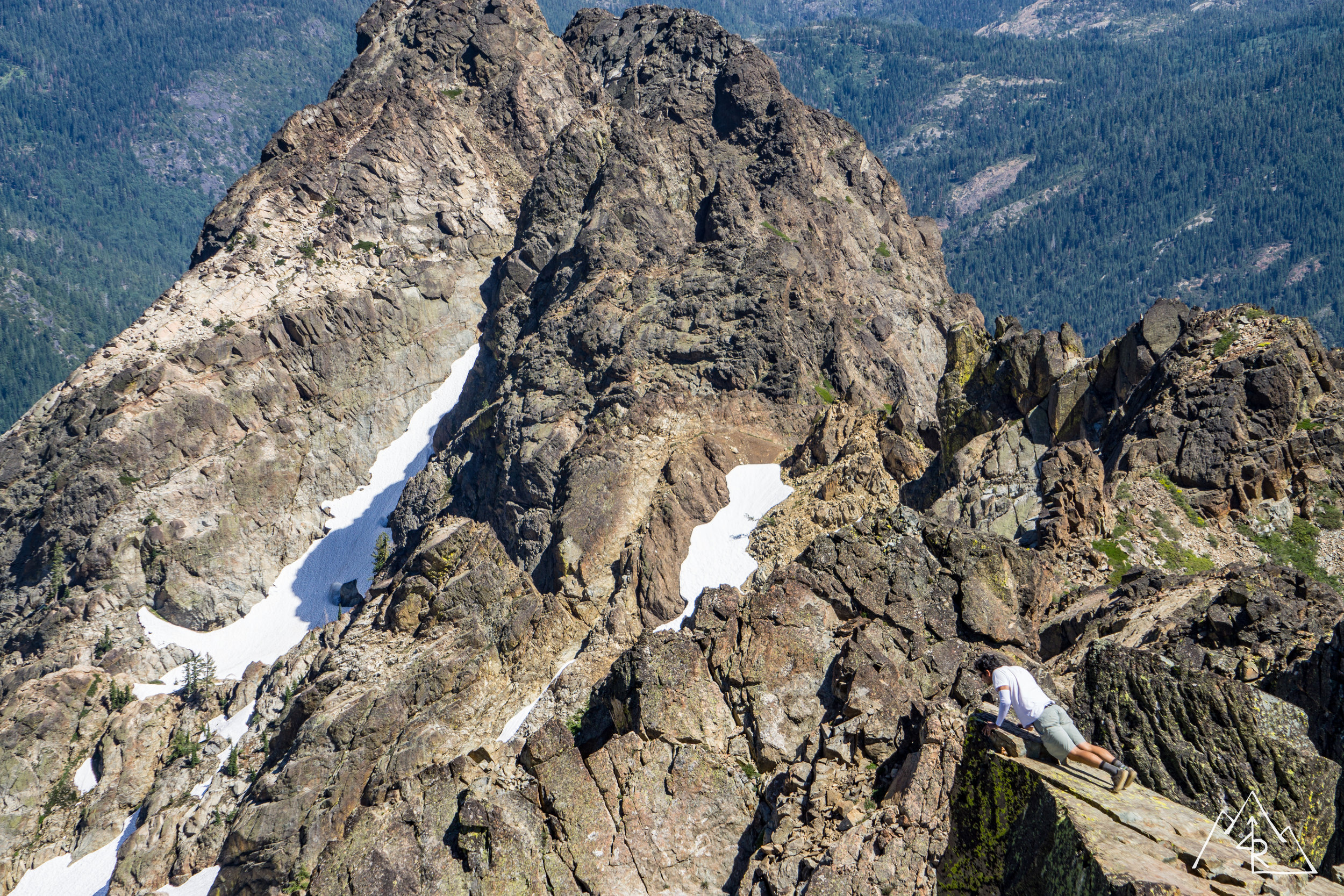
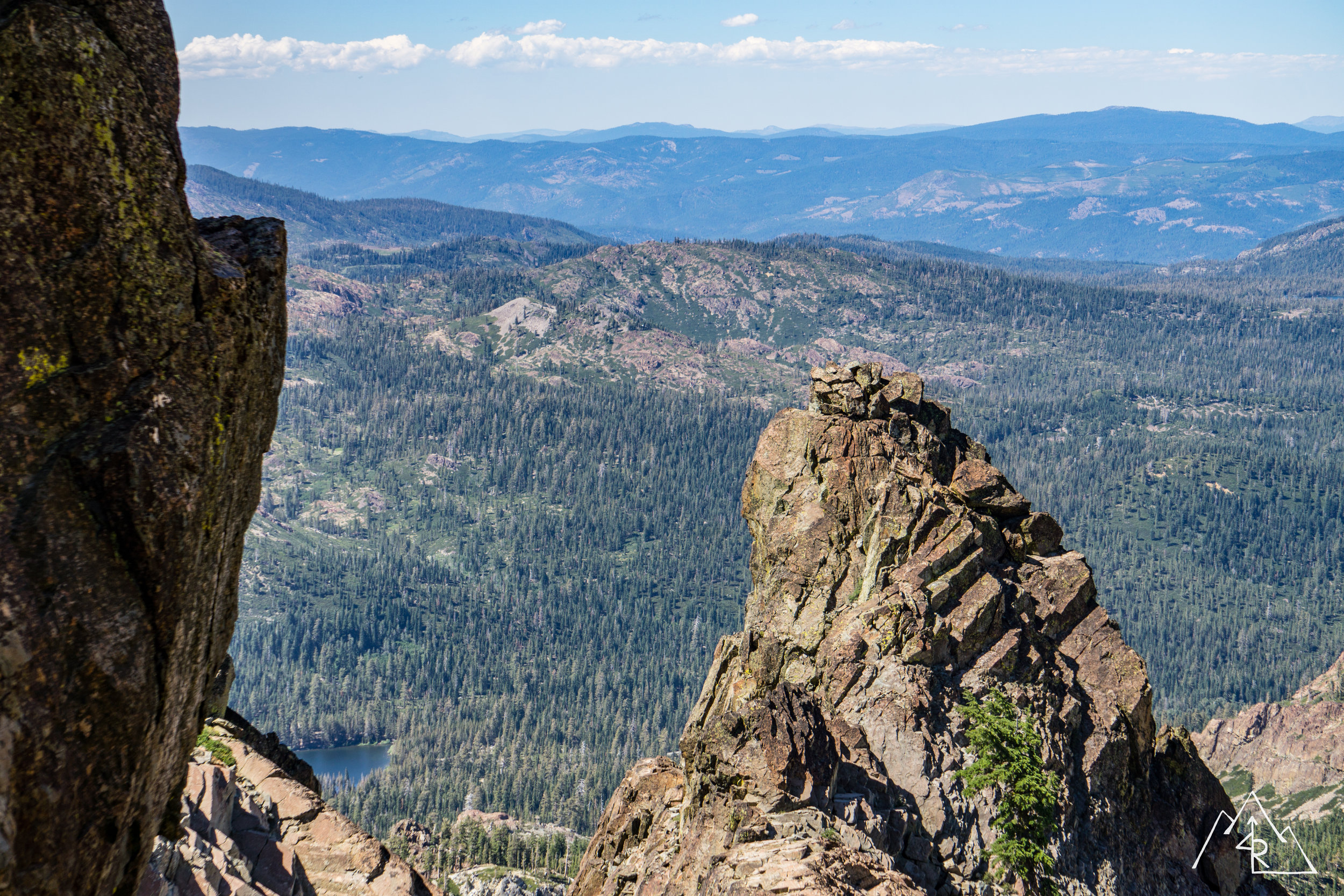
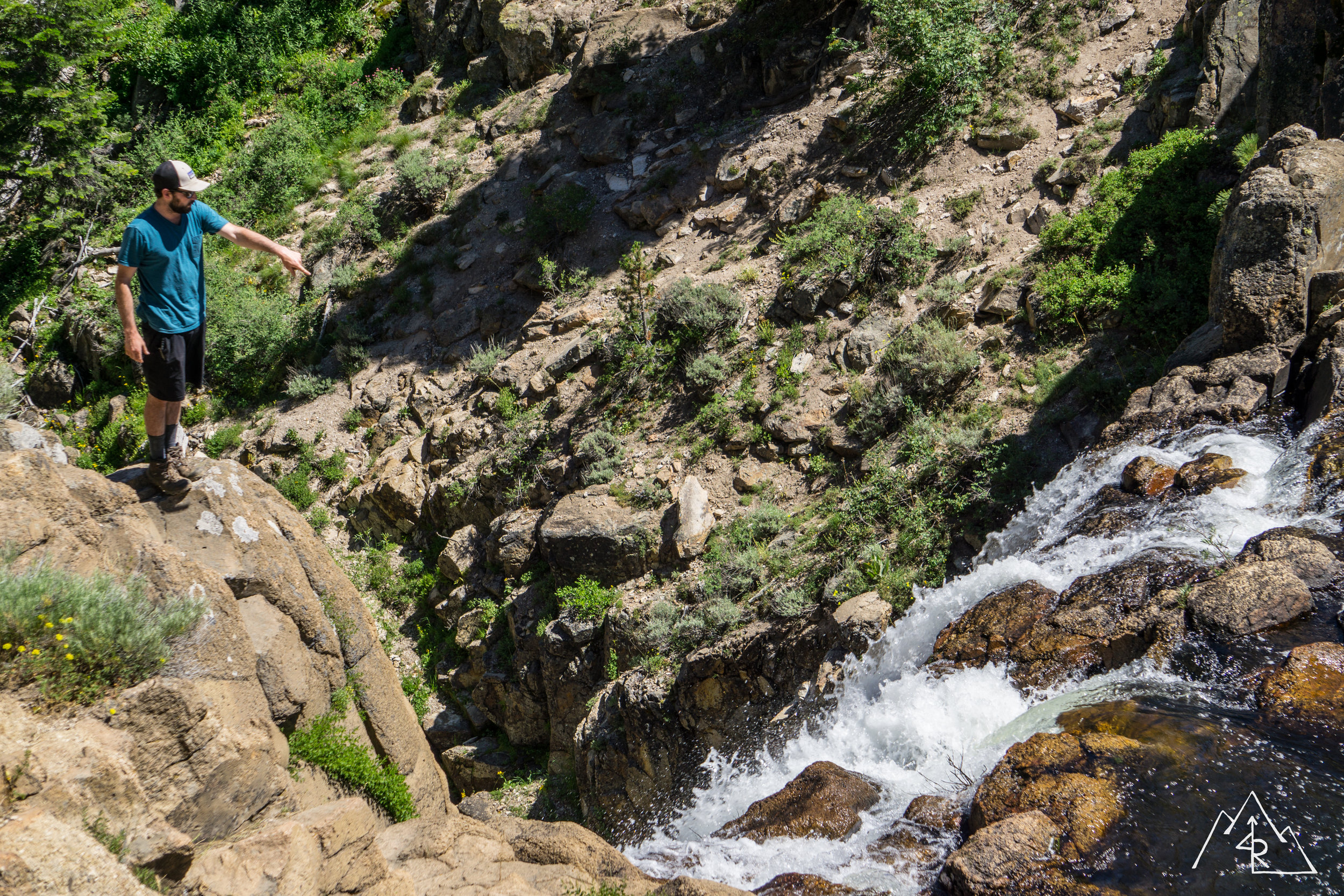
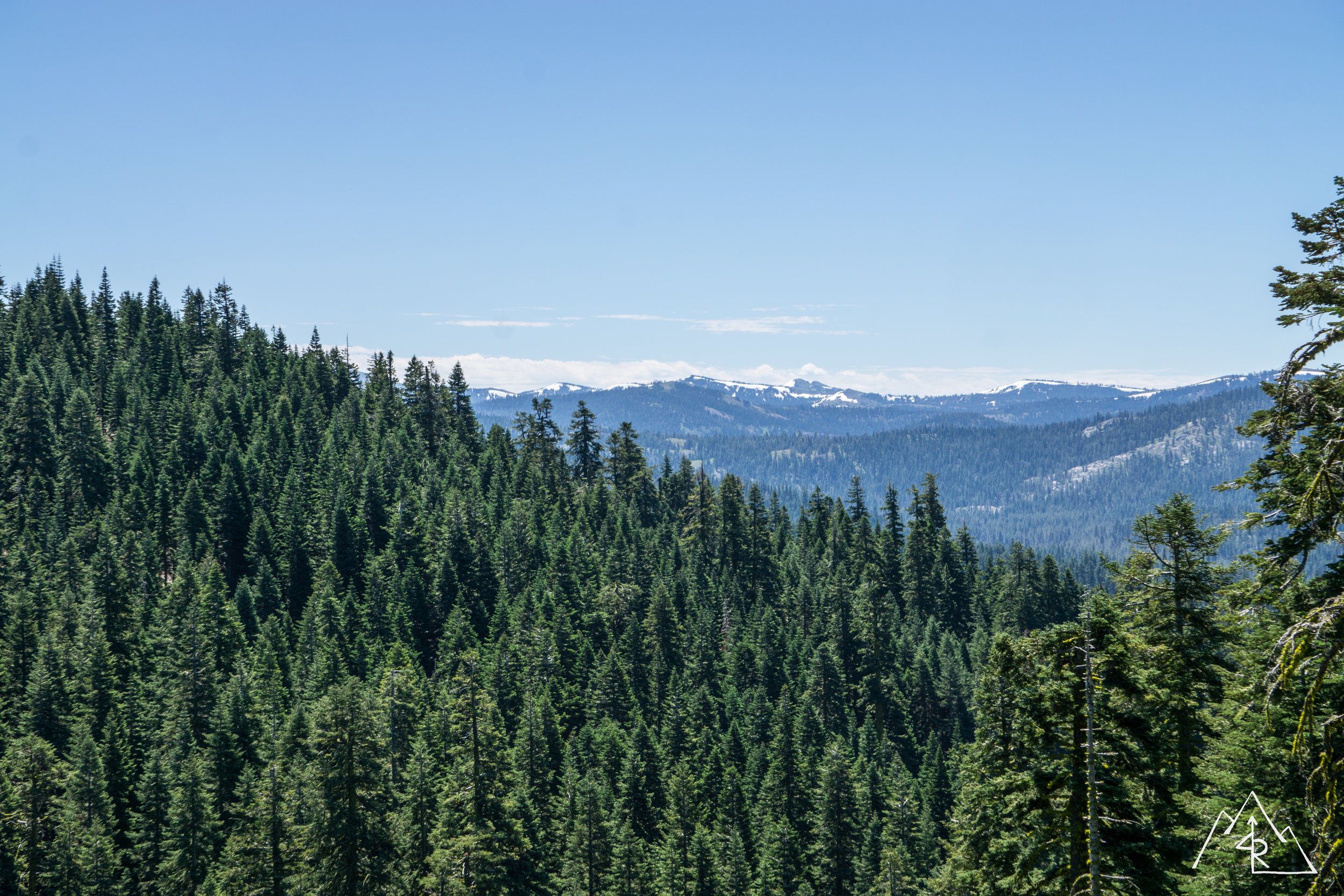
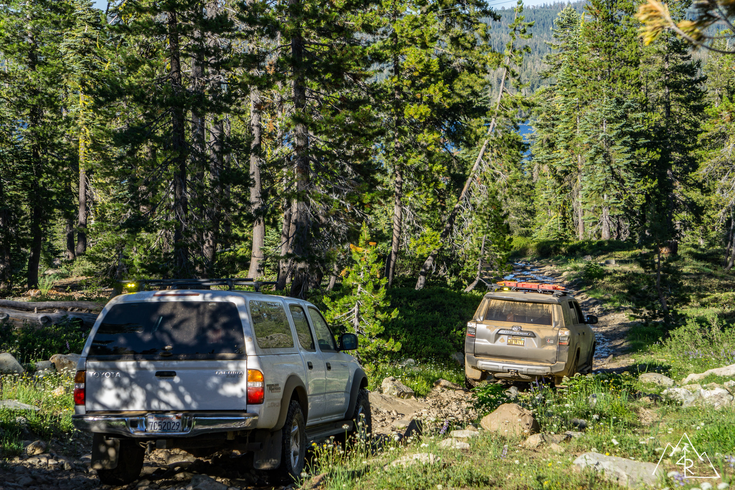
We were following a route that Vincent had done the Monday before our trip, so thankfully we knew that snow wouldn’t be an issue from here on out. For Vincent it was a great time to compare his recent Lexus LX470 purchase versus his trusty 1990 4Runner. We ended up paralleling the famous Pacific Crest Trail along a ridgeline before stopping to hike down to Deer Lake. Vincent drove the one way in / out trail leading down to the lakeside. The first three quarters of the trail were on the “I could do this” scale, but a large rock garden at the bottom quickly put it into the “nope” category. Maybe one day I will scale this obstacle for some serene lakeside campsite property with a Sierra Buttes view.
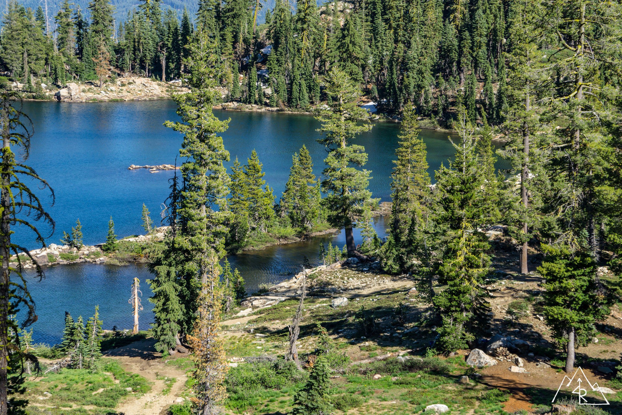

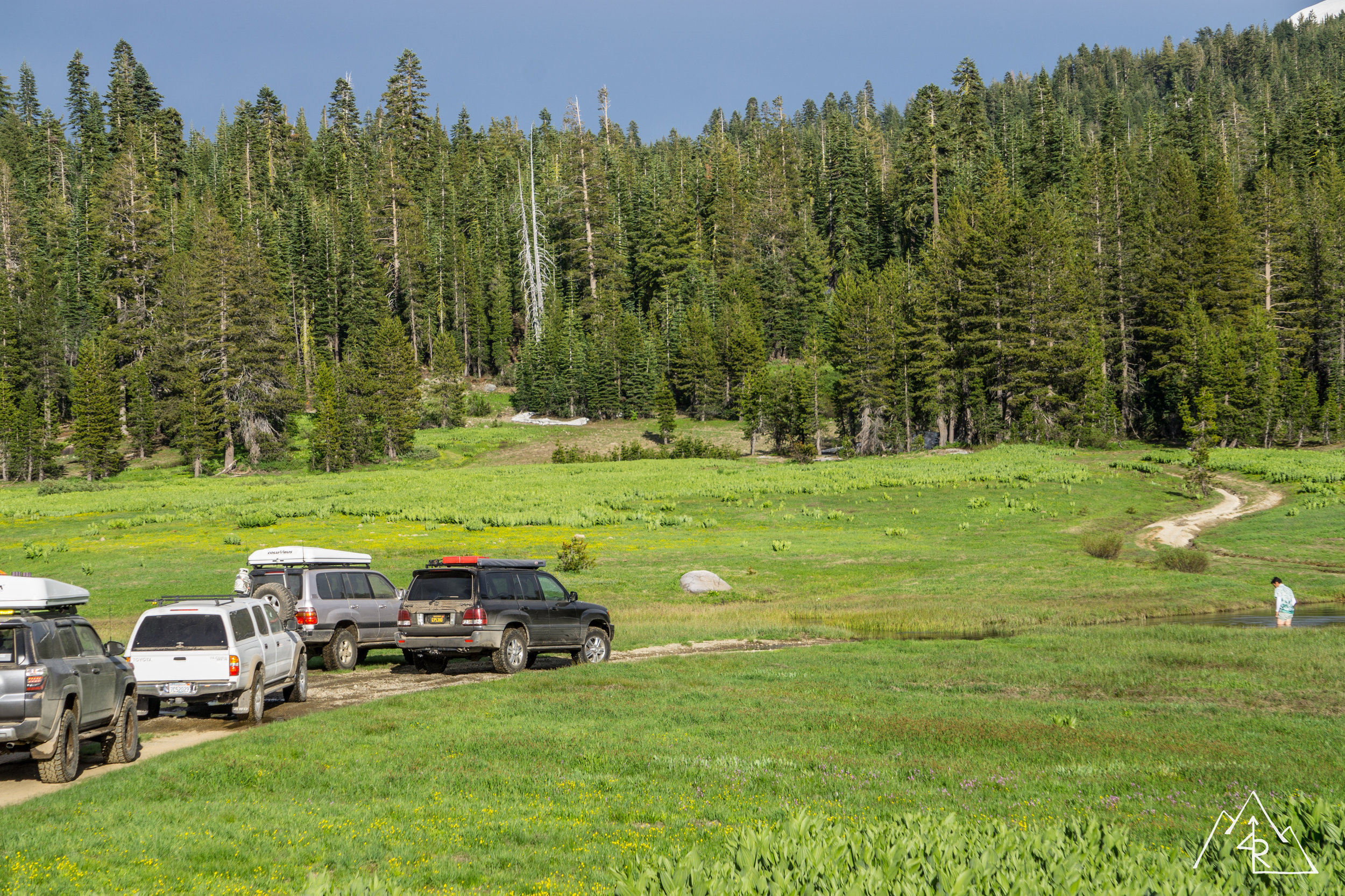
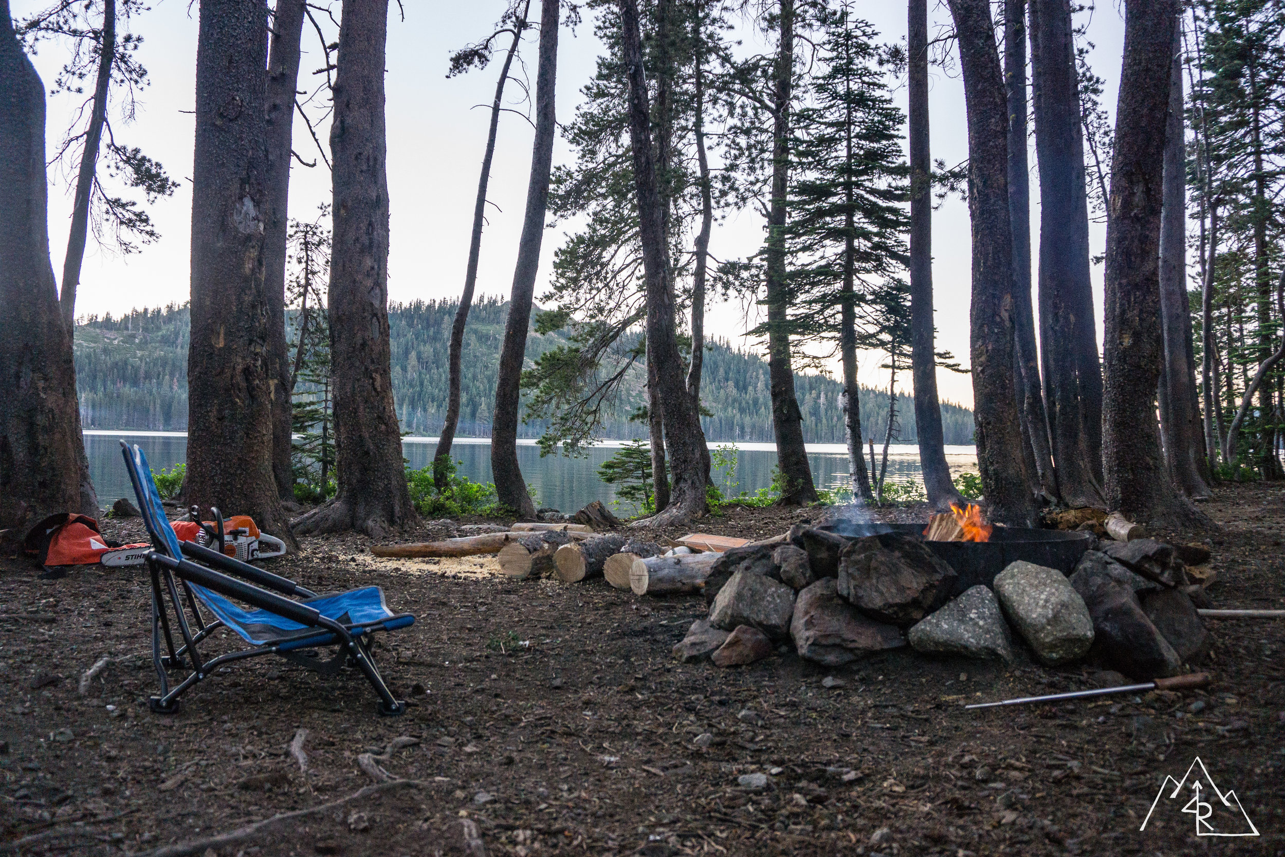
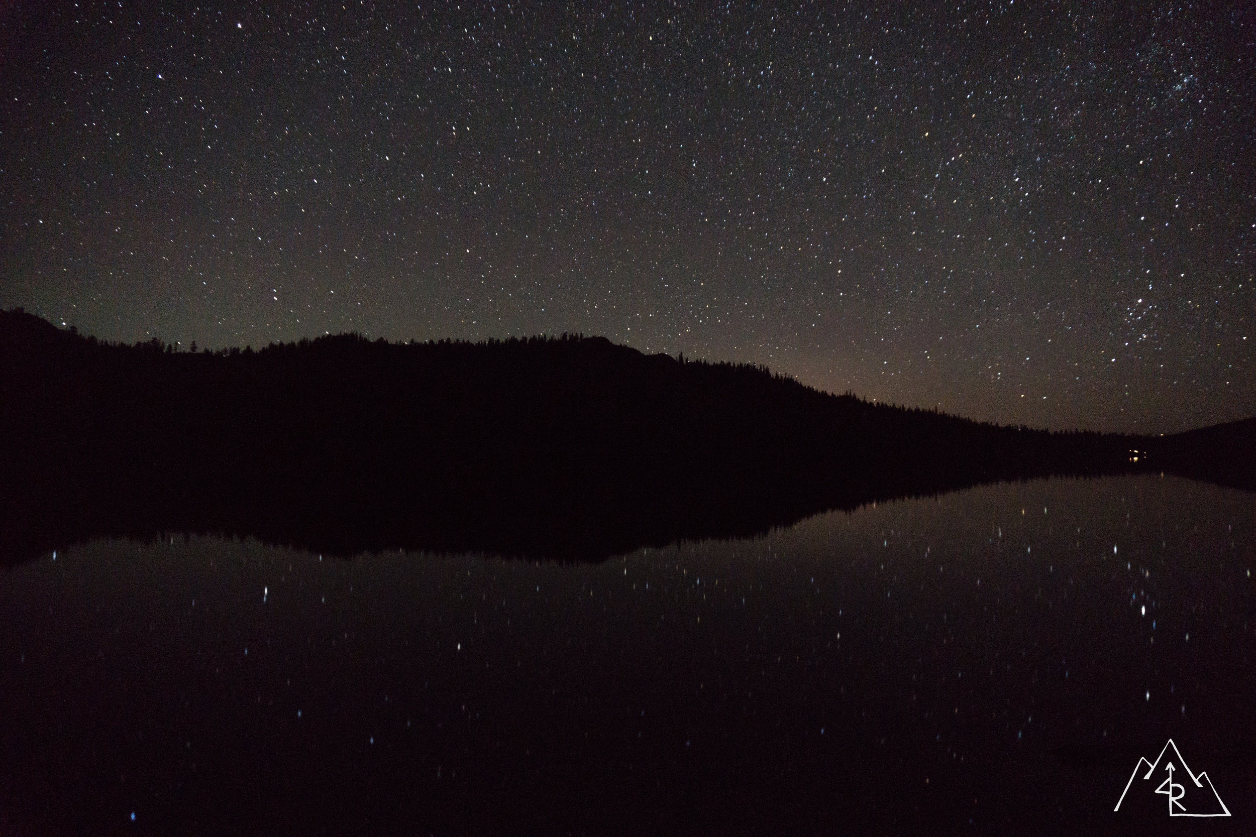
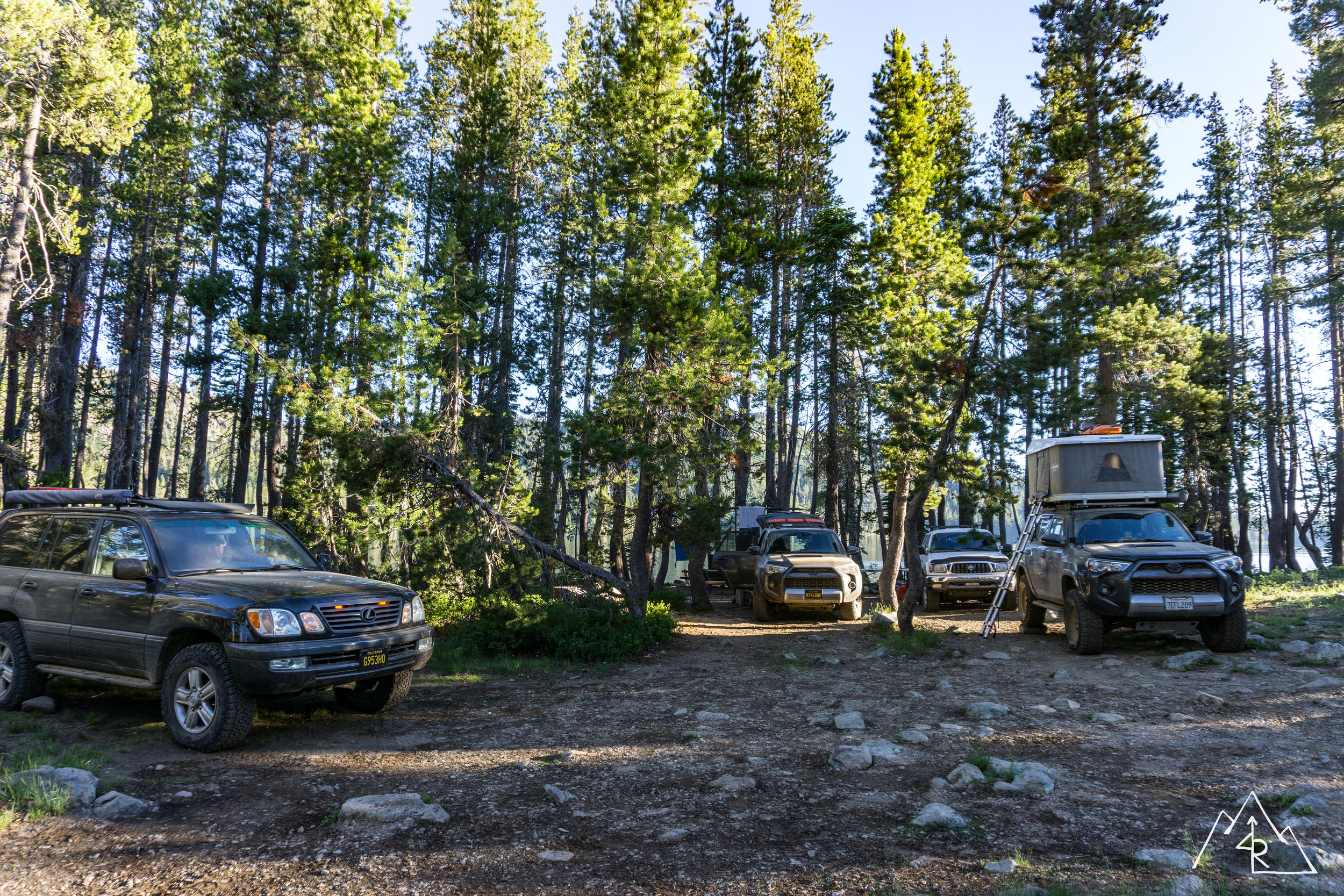
Our last section of trail lead us down to Gold Lake, our evening camp location. Vincent ran out ahead of us to scout campsites at the lake. I tend to drive a bit slower on trails than my lifted compadres mostly to be cautious and avoid any unneeded damage (you can ask my first set of skid plates how they were treated). Soon, this will be fixed with a needed suspension upgrade. Stay tuned. A few small rock gardens later and we were within sight of the lake. Vincent had radioed in that he was at the adjacent LIttle Gold Lake where he had found a campsite.
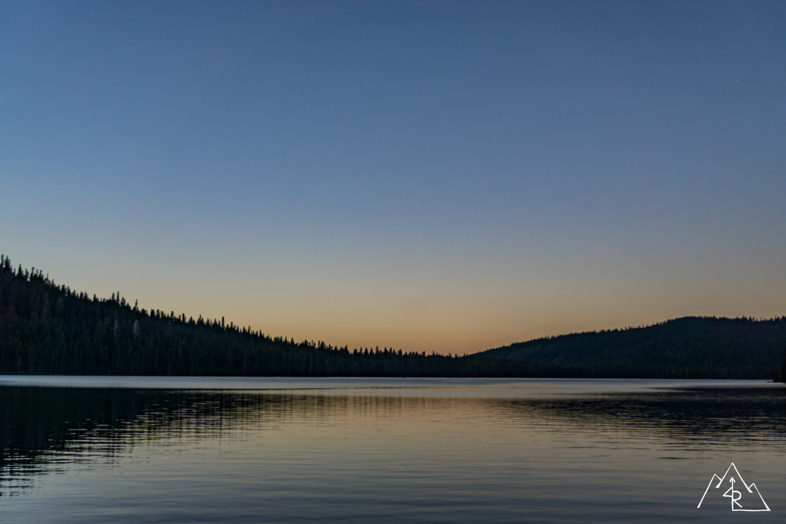
First order of business, a cold beer. Second, a swim in the lake to wash off the layers of sweat, DEET and dust. LIttle Gold Lake was a bit stagnant, so we opt’d for the main lake. When we walked down to the lake front, we stumbled on an open water side campsite so we changed sites and settled in for the evening. The lake was crisp and refreshing. The food was on-point (sausage, broccoli pasta). The campfire was solid. And all was good…

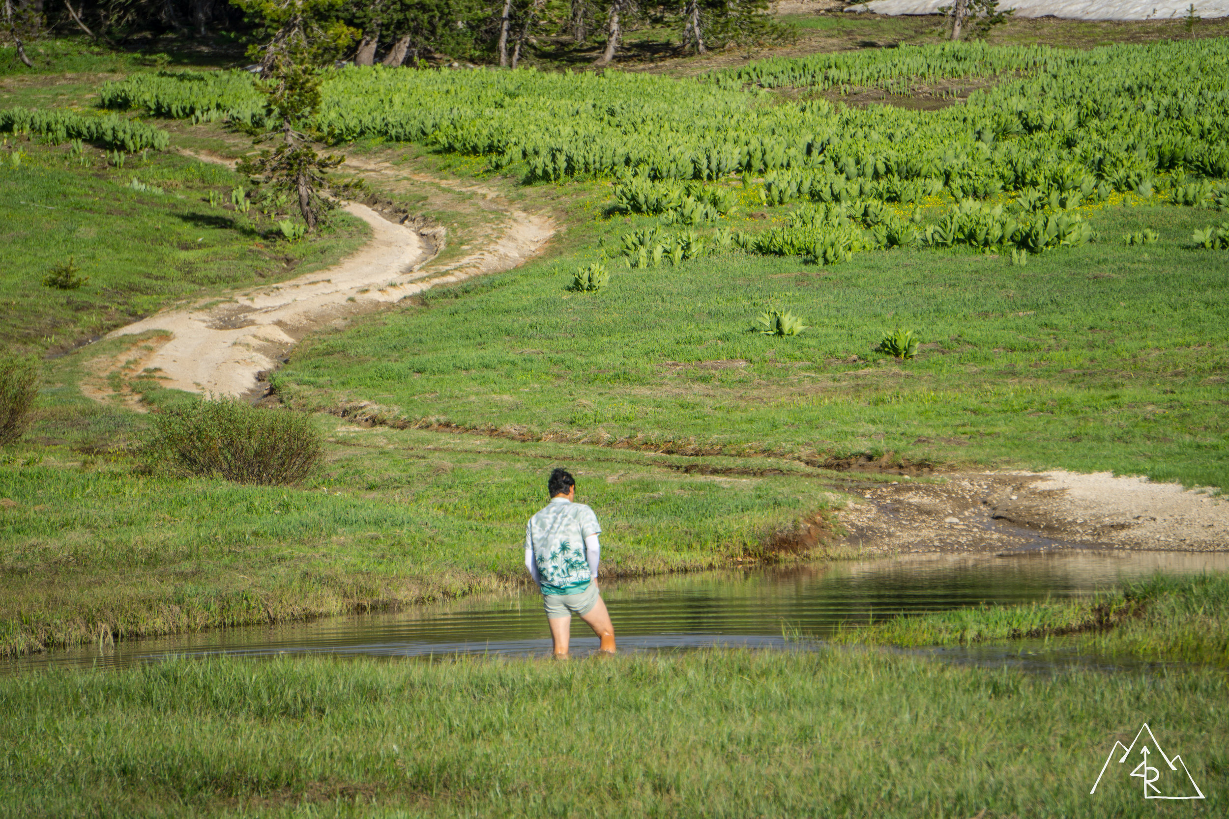
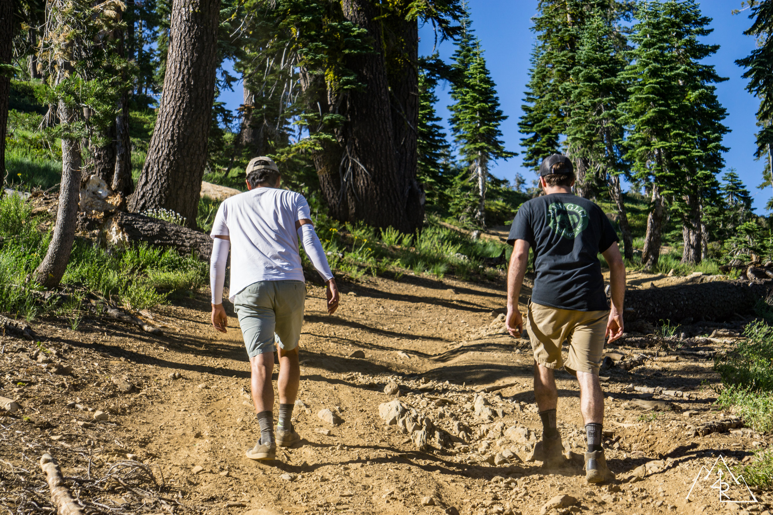
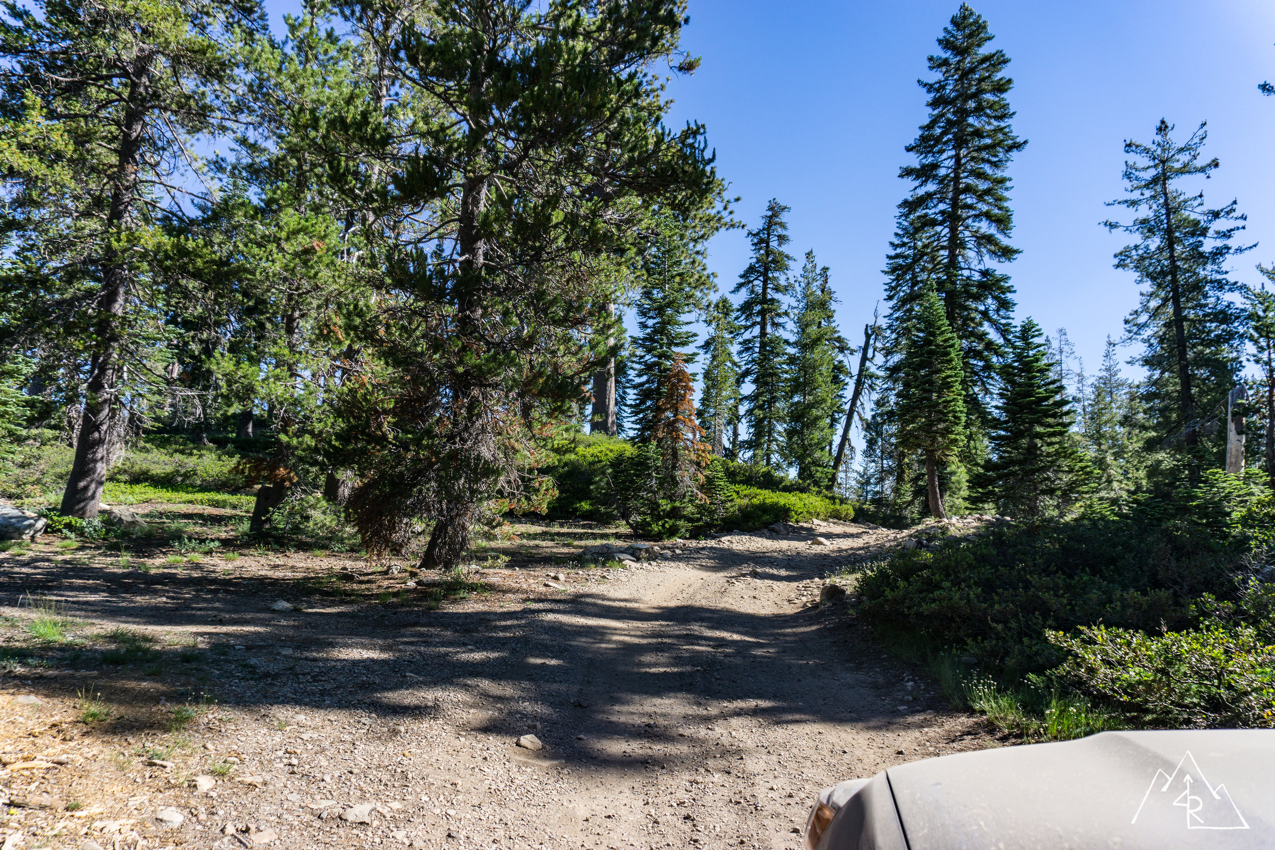
In the morning Vincent packed up first to hit the trail out and the road home. He wanted to leave before traffic got too bad on the way home. After we chatted about iPad mounts he left for the Bay Area and I went to sit by the lake. The others woke up in short order where we decided to hit the trail ourselves. The trail out of the Gold Lake OHV campsites was a fun way to end the trip. A few tight squeezes and rock obstacles had us in low range until we hit the parking lot where we aired up and hit the road for home.
Pavement and speed always feel weird after a weekend of dirt tracks and slow navigation. But at the same time it makes us want to come back for more.
More to come…